
East 5th Street in Texarkana, Arkansas
East 5th Street in Texarkana is a local road. It runs in an east-west direction starting from North Wood Street and crosses Wood Street, Walnut Street, Hazel Street, Laurel Street, Ash Street, Beech Street, Pecan Street, Hickory Street, Grand Avenue, Senator Street and Linden Avenue. It ends in a cul-de-sac. East 5th Street also exists in Garland.
- Road Type
- local road
- Route
- east-west
Image
Prisons
Town halls
Cafes
Platforms
Fast food restaurants
Pawn shops
Supermarkets
Places of worship
Frame shops
Variety stores
Schools
Tourist information centers
Fire stations
Police stations
Stations
Restaurants
Drugstores
Streets nearby
Walnut Street400 ft
Hazel StreetTexarkana Regional Correction Center
400 ft
Wood Street400 ft
North Wood StreetTexarkana
400 ft
East 4th StreetSaint Edwards School
0.1 mi
East 3rd StreetTexarkana Arkansas Fire Department Station 1, Texarkana Arkansas City Hall
0.1 mi
Laurel StreetOrr School, First United Methodist Church
0.2 mi
Pine StreetFirst Baptist Church Downtown, Pine Street Middle School
0.2 mi
West 7th StreetSubway
0.2 mi
Olive StreetFirst Lutheran Church
0.3 mi
East 7th Street0.3 mi
Ash Street0.3 mi
West Martin Luther King Junior Boulevard0.3 mi
North State Line AvenueTaco Bell
0.3 mi
East 6th StreetBeech Street First Baptist Church, First Presbyterian Church
0.3 mi
East Martin Luther King Junior Boulevard0.3 mi
West 10th Street0.4 mi
East 9th StreetMcDonald's
0.4 mi
County Street0.4 mi
East Short 10th StreetCanaan Baptist Church, Daniels School
0.4 mi
Amusement parks nearby
Ace of Clubs House Museum0.2 mi
Auto parts stores nearby
NAPA Auto Parts0.2 mi
Auto repair shops nearby
Firestone0.1 mi
Beauty salons nearby
Buy and Save Hair & Beauty Supply0.5 mi
Buildings nearby
Texarkana Water Utilities0.2 mi
Texarkana Chamber of Commerce0.3 mi
Cook Law Office PC0.3 mi
Woosley Chiropractic Clinic0.4 mi
Car dealerships nearby
Plyler Auto Sales0.2 mi
Cal Williams Motor Company0.3 mi
Commercial buildings nearby
GIS / IT0.3 mi
Courthouses nearby
Miller County Courthouse0.2 mi
Fast food restaurants nearby
Domino's0.2 mi
Burger King0.2 mi
Funeral homes nearby
Jones Funeral Home0.4 mi
Motels nearby
Shamrock Motel0.2 mi
Motorcycle shops nearby
McVay's Big Boy Toyz0.2 mi
Cycle Zone of Texarkana0.2 mi
Museums nearby
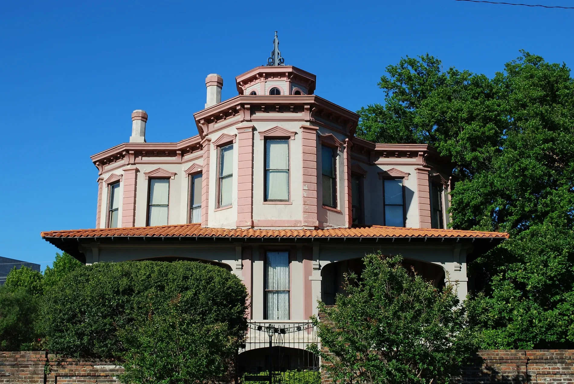
P. J. Ahern Home0.1 mi
Nightclubs nearby
1873450 ft
Parks nearby
WWI Memorial0.1 mi
Places of worship nearby
Saint James Episcopal Church0.1 mi
Church of Christ on Pine Street0.3 mi
Transformation Center International0.4 mi
Post offices nearby
United States Post Office450 ft
Restaurants nearby
B&J's Downtown Diner550 ft
Single-family houses nearby
Draughn-Moore House0.2 mi
Tire dealers nearby
M & M Tire & Auto Center0.2 mi
Other nearby
Saint Michael Hospital Heliport0.1 mi
 Public transit map Texarkana Legend
| Railway | |
| Bus | |
| Streetcar |
 Bicycle map Texarkana Legend
| Bike path | |
| Bike lane on roadway | |
| Cycling allowed on bus lane | |
| Bicycle street | |
| Open to cyclists | |
| Open to cyclists, good path | |
| Cycling prohibited | |
| Cobblestone |
| Long-distance bike route | (depending on scale) | |
| Long-distance bike route |
 Pedestrian map Texarkana Legend
| Path |
| Long-distance hiking trail | (depending on scale) | |
| Long-distance hiking trail | ||
| Pedestrians prohibited |