
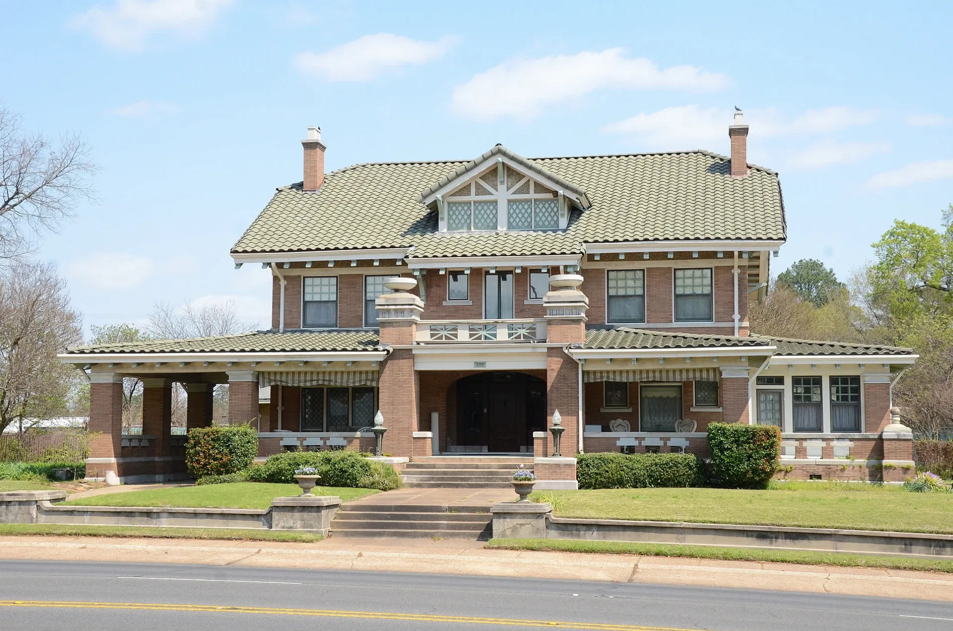
East Short 10th Street in Texarkana, Arkansas
East Short 10th Street in Texarkana is a residential street and runs in an east-west direction starting from Garland Avenue and ends at Grand Avenue. Nearby you can find a place of worship and a school.
- Road Type
- residential street
- Route
- east-west
Image
Streets nearby
Pecorella Street200 ft
Grand AvenueBethel Baptist Church
500 ft
Locust Street0.1 mi
East 9th StreetMcDonald's
0.2 mi
East 12th Street0.2 mi
East 6th StreetBeech Street First Baptist Church, First Presbyterian Church
0.2 mi
East 10th Street0.2 mi
East Martin Luther King Junior Boulevard0.2 mi
East 11th Street0.2 mi
Jefferson AvenueFirst Congregational Methodist Church
0.2 mi
County Avenue0.3 mi
East 4th StreetSaint Edwards School
0.3 mi
County Street0.3 mi
East 5th Street0.3 mi
East 13th StreetSkyler's Frame Shop
0.3 mi
East 3rd StreetTexarkana Arkansas Fire Department Station 1, Texarkana Arkansas City Hall
0.3 mi
East Broad StreetE. Broad & Loop 245
0.3 mi
East 7th Street0.4 mi
Chelsea Street0.4 mi
East 15th StreetLonoke Baptist Church
0.4 mi
East 14th Street0.4 mi
Linden Avenue0.4 mi
Hickory StreetHickory Street Baptist Church
0.4 mi
Pecan Street0.5 mi
Park Street0.5 mi
East 16th StreetFairview United Methodist Church, Fairview Elementary School
0.5 mi
Baltimore Street0.5 mi
Preston StreetCarver School
0.5 mi
Nix Creek Trial0.5 mi
Beech Street0.5 mi
East 17th Street0.5 mi
Harrison Loop0.5 mi
Williams-Taylor Drive0.5 mi
Delaware StreetSaint James Baptist Church
0.5 mi
Walter Street0.5 mi
East 18th Street0.6 mi
Charles Street0.6 mi
Senator StreetTexarkana Fire Department Station 2
0.6 mi
Stevens Street0.6 mi
Harrison Street0.6 mi
Belmont Street0.6 mi
Marietta Street0.6 mi
Buildings nearby
Texarkana Symphony Orchestra0.3 mi
Parks nearby
Jefferson Park0.4 mi
George Williams & Earnest Hill Park0.5 mi
Places of worship nearby
Saint Edward Catholic Church0.4 mi
Railways nearby
UP Little Rock Subdivision0.4 mi
School buildings nearby
Arkansas High School0.4 mi
Streams nearby
Nix Creek0.5 mi
Public transit map Texarkana Legend
| Railway | |
| Bus | |
| Streetcar |
Bicycle map Texarkana Legend
| Bike path | |
| Bike lane on roadway | |
| Cycling allowed on bus lane | |
| Bicycle street | |
| Open to cyclists | |
| Open to cyclists, good path | |
| Cycling prohibited | |
| Cobblestone |
| Long-distance bike route | (depending on scale) | |
| Long-distance bike route |
Pedestrian map Texarkana Legend
| Path |
| Long-distance hiking trail | (depending on scale) | |
| Long-distance hiking trail | ||
| Pedestrians prohibited |