
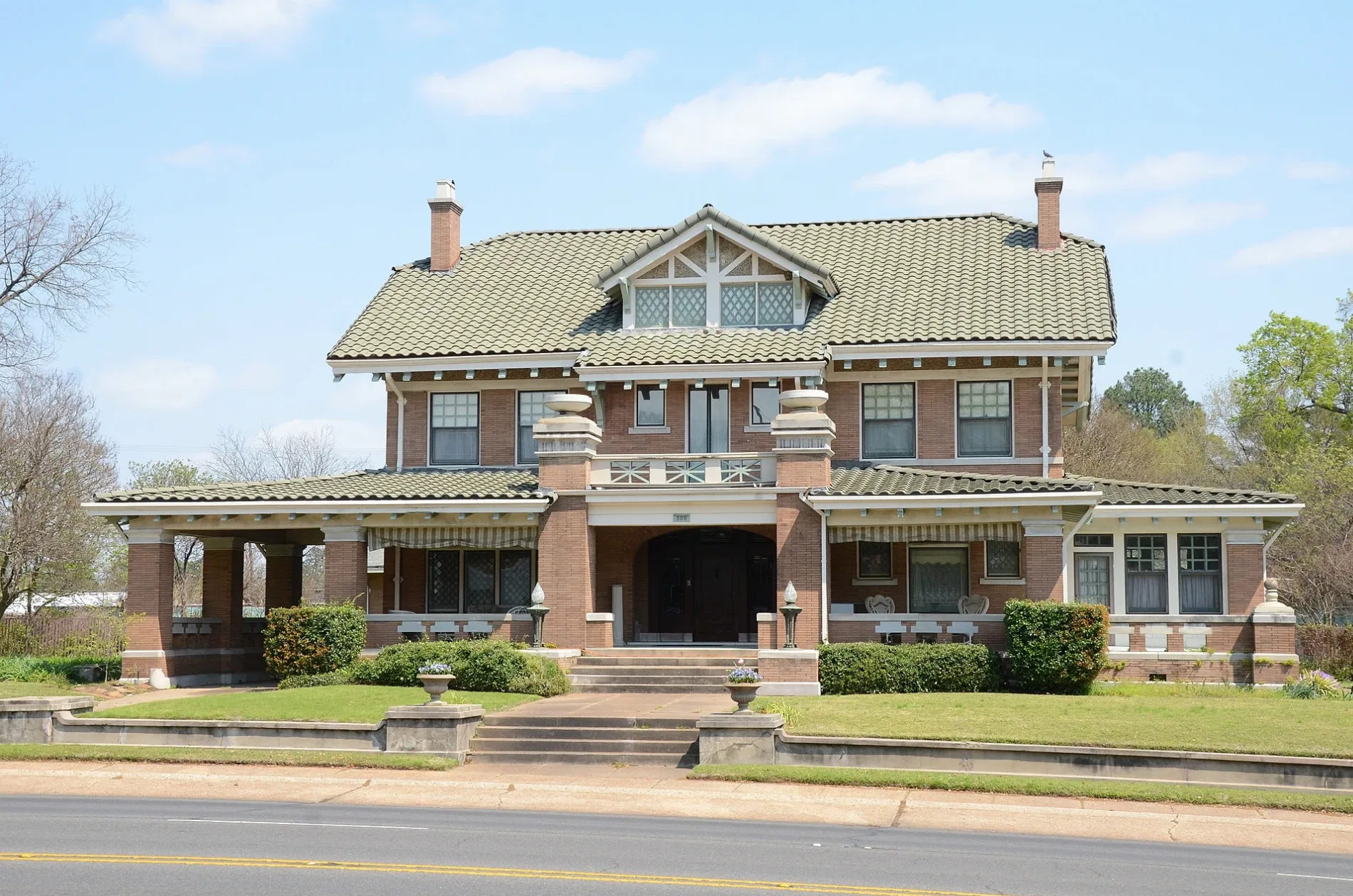
East Martin Luther King Junior Boulevard in Texarkana, Arkansas
East Martin Luther King Junior Boulevard in Texarkana is a four-lane main road (Road number US 67;US 71;US 82). It runs as a one-way street in a northeast-southwest direction starting from East 9th Street and crosses Pecan Street, Beech Street, County Street, Ash Street, Laurel Street and Hazel Street. It ends in a cul-de-sac. This street is part of the highways 82, 67, 71 and Southwest Trail. East Martin Luther King Junior Boulevard also exists in Washington County.
- Road Type
- main road
- Lanes
- 2
- Route
- northeast-southwest
Image
Fast food restaurants
Prisons
Fire stations
Tourist information centers
Platforms
- bus lines 2
Pawn shops
Drugstores
Places of worship
Police stations
Variety stores
Schools
Frame shops
Town halls
Cafes
Stations
- bus lines 2
Restaurants
Streets nearby
East Short 10th StreetCanaan Baptist Church, Daniels School
350 ft
Pecan Street350 ft
County Street400 ft
County Avenue0.1 mi
Beech Street0.1 mi
East 7th Street0.2 mi
Ash Street0.2 mi
East 11th Street0.2 mi
Locust Street0.2 mi
Pecorella Street0.2 mi
East 5th Street0.2 mi
East 9th StreetMcDonald's
0.3 mi
East 4th StreetSaint Edwards School
0.3 mi
Laurel StreetOrr School, First United Methodist Church
0.3 mi
Grand AvenueBethel Baptist Church
0.3 mi
Hazel StreetTexarkana Regional Correction Center
0.3 mi
East 13th StreetSkyler's Frame Shop
0.3 mi
North State Line AvenueTaco Bell
0.3 mi
Senator StreetTexarkana Fire Department Station 2
0.4 mi
East 6th StreetBeech Street First Baptist Church, First Presbyterian Church
0.4 mi
East 12th Street0.4 mi
East 3rd StreetTexarkana Arkansas Fire Department Station 1, Texarkana Arkansas City Hall
0.4 mi
East 14th Street0.4 mi
Magnolia Street0.4 mi
East 10th Street0.4 mi
East 15th StreetLonoke Baptist Church
0.4 mi
East 16th StreetFairview United Methodist Church, Fairview Elementary School
0.5 mi
Hickory StreetHickory Street Baptist Church
0.5 mi
Shops nearby
Advance America0.4 mi
Auto parts stores nearby
NAPA Auto Parts0.3 mi
Advance Auto Parts0.3 mi
Custom Wheels0.4 mi
Beauty salons nearby
Buy and Save Hair & Beauty Supply0.3 mi
Buildings nearby
Texarkana Symphony Orchestra0.2 mi
Cook Law Office PC0.3 mi
Courthouses nearby
Miller County Courthouse0.3 mi
Fast food restaurants nearby
Burger King0.3 mi
Domino's0.3 mi
Funeral homes nearby
Jones Funeral Home0.3 mi
Liquor stores nearby
Twin City Liquor0.4 mi
Bottle Shop0.4 mi
State Line Liquor0.5 mi
Motorcycle shops nearby
Kawasaki of Texarkana0.4 mi
Places of worship nearby
Saint Edward Catholic Church0.3 mi
Eleventh Street Baptist Church0.3 mi
Transformation Center International0.4 mi
Restaurants nearby
Sue N' Carol's Kitchen0.3 mi
Shoe stores nearby
Red Wing0.4 mi
Tattoo studios nearby
Ink Obsession Tattoo & Supply0.4 mi
Public transit map Texarkana Legend
| Railway | |
| Bus | |
| Streetcar |
Bicycle map Texarkana Legend
| Bike path | |
| Bike lane on roadway | |
| Cycling allowed on bus lane | |
| Bicycle street | |
| Open to cyclists | |
| Open to cyclists, good path | |
| Cycling prohibited | |
| Cobblestone |
| Long-distance bike route | (depending on scale) | |
| Long-distance bike route |
Pedestrian map Texarkana Legend
| Path |
| Long-distance hiking trail | (depending on scale) | |
| Long-distance hiking trail | ||
| Pedestrians prohibited |