
East 2nd Avenue in Longmont, Colorado
East 2nd Avenue in Longmont is an asphalted unclassified road and it runs in an east-west direction starting from Martin Street and ends in a cul-de-sac. East 2nd Avenue also exists in Baca County, La Plata County, Washington County, Morgan County and Cheyenne County.
- Road Type
- unclassified road
- Route
- east-west
Image
Recycling stations
Laundries
Cosmetics stores
Massage therapy clinics
Car dealerships
Mailboxes
Places of worship
Restaurants
Clinics
Auto repair shops
Pet stores
Bars
Courthouses
Social facilities
Beauty salons
Community centers
Bike shops
Bed stores
Police stations
Cannabis dispensaries
Streets nearby
Rothrock Place0.2 mi
Lashley StreetElevate Home Care, Taqueria Madero, Alfa Salon De Belleza, Tortilleria Las Americas
0.2 mi
Reed Place0.2 mi
3rd Avenue Sidepath0.2 mi
East 4th AvenueColorado Aromatics, Glamour by Kristi
0.3 mi
Weaver Park RoadTables to Teacups, Verlo Mattress of Longmont
0.3 mi
Ripley CourtSalud Clinic
0.3 mi
3rd AvenueSpicy House, Proper Tramps Tattoo Society, Berkana, Gerber Collision & Glass, White Tiger Massage, Mana Thai Comfort Food, Haley's Studio, Mystic Systers, Visiting Angels, Javastop, China Panda, ISOF, Dulceria Bombon, The St. Vrain
0.3 mi
Sunnyside Lane0.3 mi
East 1st Avenue0.3 mi
South Martin StreetTokyo Joe's, Taco Bell
0.3 mi
Wadsworth Court0.3 mi
East 3rd AvenueVFW Post 2601, Dimensions Salon & Spa, Rainbow Laundry
0.3 mi
4th AvenueOn The Avenue, Firehouse Art Center, The Thinker, USPS, Adornables, TBK Bank, Central Presbyterian Church, Flatirons Bank
0.4 mi
Atwood StreetColumbine School
0.4 mi
Andrew Court0.4 mi
Marshall Place0.4 mi
Wadsworth Circle0.4 mi
Butler Court0.4 mi
East Rogers RoadMedicine Man
0.4 mi
Alpine Street0.4 mi
East 6th Avenue0.4 mi
Kensington Ditch Trail0.4 mi
Sorento Place0.4 mi
Caywood Court0.5 mi
Kensington Street0.5 mi
Martin Street0.5 mi
Alpine Place0.5 mi
East 5th Avenue0.5 mi
Mount Evans Street0.5 mi
Trail Ridge Court0.5 mi
Dickson Street0.5 mi
Edgehill Court0.6 mi
East Saint Clair Avenue0.6 mi
Apartment buildings nearby
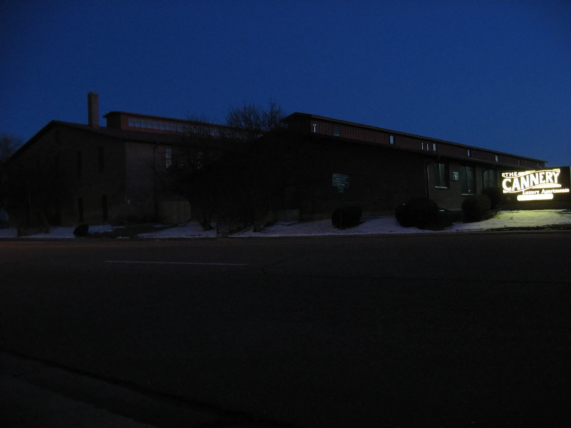
The Cannery Apartments0.2 mi
Buildings nearby
OUR Center0.3 mi
Canals nearby
Kennsington ditch0.3 mi
Commercial areas nearby
Lashley Retail Center0.3 mi
Parks nearby
Kensington Park0.1 mi
Railways nearby
Erie Branch0.1 mi
GWR (Longmont Crossover) - BNSF Front Range0.1 mi
GWR Front Range (Longmont Crossover)0.2 mi
BNSF Longmont Siding0.2 mi
BNSF Front Range - GWR (Longmont Crossover)0.2 mi
BNSF Front Range Subdivision0.3 mi
Longmont to Johnstown0.5 mi
Residential areas nearby
martin apartments0.1 mi
Restaurants nearby
Abuelita's0.2 mi
Specialty stores nearby
DBC Irrigation Supply0.2 mi
Public transit map Longmont Legend
| Railway | |
| Bus | |
| Streetcar |
Bicycle map Longmont Legend
| Bike path | |
| Bike lane on roadway | |
| Cycling allowed on bus lane | |
| Bicycle street | |
| Open to cyclists | |
| Open to cyclists, good path | |
| Cycling prohibited | |
| Cobblestone |
| Long-distance bike route | (depending on scale) | |
| Long-distance bike route |
Pedestrian map Longmont Legend
| Path |
| Long-distance hiking trail | (depending on scale) | |
| Long-distance hiking trail | ||
| Pedestrians prohibited |