
East 4th Avenue in Longmont, Colorado
East 4th Avenue in Longmont is an asphalted residential street and it runs in an east-west direction starting from Martin Street and ends at Kensington Street. Nearby you can find a cosmetics store and a beauty salon. East 4th Avenue also exists in Baca County, La Plata County, Washington County, Morgan County and Cheyenne County.
- Road Type
- residential street
- Route
- east-west
Image
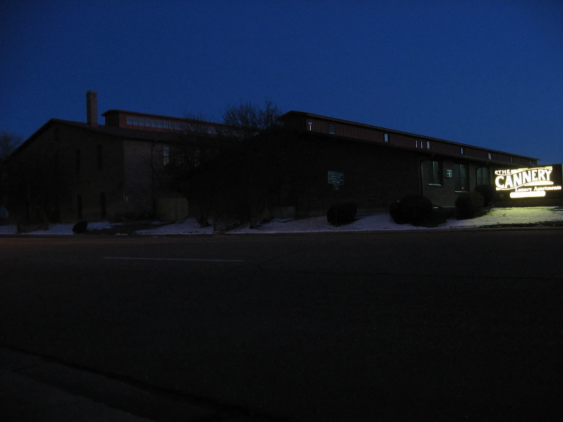
Streets nearby
Reed Place400 ft
Marshall Place0.1 mi
East 5th Avenue0.2 mi
Atwood StreetColumbine School
0.2 mi
East 6th Avenue0.2 mi
Rothrock Place0.2 mi
Sunnyside Lane0.2 mi
Martin Street0.2 mi
Kensington Ditch Trail0.2 mi
Baker Street0.2 mi
Kensington Street0.3 mi
East 2nd Avenue0.3 mi
6th AvenueLittle Free Library, Nathan G. Angus, D.D.S Cosmetic & Family Dentistry, Michael A. Park, D.D.S Family Dentistry
0.3 mi
3rd Avenue Sidepath0.3 mi
Collyer StreetFarmhouse
0.3 mi
Lashley StreetElevate Home Care, Taqueria Madero, Alfa Salon De Belleza, Tortilleria Las Americas
0.3 mi
Sorento Place0.3 mi
4th AvenueOn The Avenue, Firehouse Art Center, The Thinker, USPS, Adornables, TBK Bank, Central Presbyterian Church, Flatirons Bank
0.3 mi
Andrew Court0.3 mi
5th AvenueLongmont, Game Castle, Central Elementary School
0.3 mi
Wadsworth Court0.4 mi
2nd AvenueUrban Field Pizza & Market, Locker, Taqueria Chihuaua
0.4 mi
Ripley CourtSalud Clinic
0.4 mi
Weaver Park RoadTables to Teacups, Verlo Mattress of Longmont
0.4 mi
South Martin StreetTokyo Joe's, Taco Bell
0.5 mi
East 1st Avenue0.5 mi
Boston AvenueLongmont Small Animal Hospital, Budget Home Supply - Lumber Yard Entrance, Taqueria Arandas, Rolf's Motorcycle Shop, Hooptie Bike Lounge, Shell, Caliber Collision, CPS Distributors
0.6 mi
Apartment buildings nearby
The Cannery Apartments0.2 mi
Buildings nearby
Longmont College0.2 mi
OUR Center0.3 mi
Canals nearby
Kennsington ditch0.6 mi
Commercial areas nearby
Lashley Retail Center0.3 mi
Libraries nearby
Longmont Public Library0.4 mi
Parks nearby
Kensington Park0.2 mi
Places of worship nearby
Saint John the Baptist Catholic Church0.3 mi
Public buildings nearby
City of Longmont Colorado, Civic Center0.4 mi
Pubs nearby
Wibby Brewing0.4 mi
Railways nearby
BNSF Front Range Subdivision0.3 mi
GWR Front Range (Longmont Crossover)0.3 mi
GWR (Longmont Crossover) - BNSF Front Range0.3 mi
Longmont to Johnstown0.4 mi
Erie Branch0.4 mi
BNSF Longmont Siding0.4 mi
BNSF Front Range - GWR (Longmont Crossover)0.4 mi
Residential areas nearby
martin apartments0.3 mi
Restaurants nearby
Georgia Boys BBQ0.3 mi
Abuelita's0.3 mi
Summit Tacos0.4 mi
Specialty stores nearby
DBC Irrigation Supply0.4 mi
Public transit map Longmont Legend
| Railway | |
| Bus | |
| Streetcar |
Bicycle map Longmont Legend
| Bike path | |
| Bike lane on roadway | |
| Cycling allowed on bus lane | |
| Bicycle street | |
| Open to cyclists | |
| Open to cyclists, good path | |
| Cycling prohibited | |
| Cobblestone |
| Long-distance bike route | (depending on scale) | |
| Long-distance bike route |
Pedestrian map Longmont Legend
| Path |
| Long-distance hiking trail | (depending on scale) | |
| Long-distance hiking trail | ||
| Pedestrians prohibited |