
Martin Street in Longmont, Colorado
Martin Street in Longmont is an asphalted local road. The street has bike paths (bike lane). It runs in a north-south direction starting from East 9th Avenue and crosses 9th Avenue, 8th Avenue, Longs Peak Avenue, East Longs Peak Avenue, 6th Avenue, East 6th Avenue, Marshall Place, 5th Avenue, East 5th Avenue, East 4th Avenue and 4th Avenue. This street is part of the Bicycle route "Longmont Loop - South". Martin Street also exists in Prowers County and Pueblo County.
- Road Type
- secondary road
- Bicycle
- yes
- Route
- north-south
Image
Beauty salons
Pet stores
Social facilities
Community centers
Police stations
Clothing stores
Auto repair shops
Car rentals
Laundries
Massage therapy clinics
Cosmetics stores
Courthouses
Restaurants
Recycling stations
Bike shops
Clinics
Bars
Mailboxes
Banks
Streets nearby
East 2nd Avenue0.1 mi
East 3rd AvenueVFW Post 2601, Dimensions Salon & Spa, Rainbow Laundry
0.3 mi
Rothrock Place0.3 mi
Boston AvenueLongmont Small Animal Hospital, Budget Home Supply - Lumber Yard Entrance, Taqueria Arandas, Rolf's Motorcycle Shop, Hooptie Bike Lounge, Shell, Caliber Collision, CPS Distributors
0.3 mi
Kensington Ditch Trail0.3 mi
Reed Place0.3 mi
East 1st Avenue0.3 mi
East 4th AvenueColorado Aromatics, Glamour by Kristi
0.3 mi
Emery StreetDee-O-Gee Longmont
0.4 mi
Atwood StreetColumbine School
0.4 mi
Collyer StreetFarmhouse
0.4 mi
1st AvenueThe Canvas, Habitat for Humanity ReStore, Urban Forest Mill
0.4 mi
3rd AvenueSpicy House, Proper Tramps Tattoo Society, Berkana, Gerber Collision & Glass, White Tiger Massage, Mana Thai Comfort Food, Haley's Studio, Mystic Systers, Visiting Angels, Javastop, China Panda, ISOF, Dulceria Bombon, The St. Vrain
0.4 mi
4th AvenueOn The Avenue, Firehouse Art Center, The Thinker, USPS, Adornables, TBK Bank, Central Presbyterian Church, Flatirons Bank
0.4 mi
Kimbark StreetSafety and Justice Center, Longmont Police Department Headquarters, Botas Cuadra El Alacran, Tortillas De La Frontera, Birrieria Doña Maria, Dynamic Auto Salon
0.4 mi
South Main StreetEnterprise, Romero's Muffler & Auto Repair, Hertz, Burgio Motors, McCarty Motors, McCarthy's Pub, PPG Paints, Mi Nina's Boutique, Brothers Equipment Rental, Metro by T-Mobile, DMG, Santa Fe Company, PR Dents | Hail & Dent Repair, Carquest Mountain Truck & Equipment, Carpet Exchange, Hayes Automotive, Auto Midwest Body, Branding Iron Liquor, 314.0, Gondolier Italian Eatery, Longmont Park-n-Ride, Avanti Dental Care, Panaderia La Panda, Flatirons Pharmacy, RZ Tire Garage, 315.0, NAPA AutoCare Center, Imagine More, Space Station, Above The Rest, Frontline Auto Brokers
0.5 mi
Saint Vrain GreenwayDSW, Cato, AT&T, The Wax Factory, rue21, Pearle Vision, Maurices, Listening Stones, Jimmy John's, Dollar Tree, Longmont Winair, D-Barn Reception Hall
0.6 mi
South Martin StreetTokyo Joe's, Taco Bell
0.6 mi
Saint Vrain TrailAlpha Martial Arts, Golden Comb Salon
0.6 mi
East Ken Pratt BoulevardCafe Rio, Denver Mattress, Kona Hawaiian BBQ, JARS Cannabis, Conoco
0.6 mi
Apartment buildings nearby
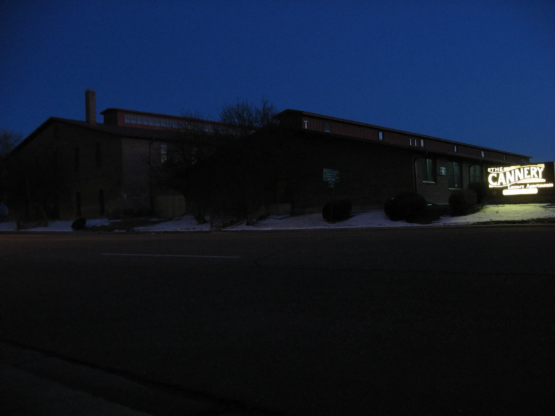
The Cannery Apartments0.2 mi
Banks nearby
Adams Bank & Trust0.6 mi
Buildings nearby
OUR Center0.3 mi
Dickens Barn0.6 mi
Canals nearby
Kennsington ditch0.3 mi
Fast food restaurants nearby
Dunkin'0.6 mi
Guest houses nearby
Dicken's House0.5 mi
Hotels nearby
Hilton Garden Inn0.5 mi
Libraries nearby
Longmont Public Library0.5 mi
Parks nearby
Kensington Park0.3 mi
Dickens Farm Nature Area0.5 mi
Places of worship nearby
Saint John the Baptist Catholic Church0.4 mi
Playgrounds nearby
Discovery Island0.5 mi
Public buildings nearby
City of Longmont Colorado, Civic Center0.4 mi
Pubs nearby
Wibby Brewing0.4 mi
300 Suns Brewing0.4 mi
Railways nearby
GWR (Longmont Crossover) - BNSF Front Range100 ft
Longmont to Johnstown300 ft
Erie Branch500 ft
BNSF Longmont Siding0.1 mi
GWR Front Range (Longmont Crossover)0.1 mi
BNSF Front Range - GWR (Longmont Crossover)0.1 mi
BNSF Front Range Subdivision0.2 mi
Residential areas nearby
martin apartments0.2 mi
South Main Station0.4 mi
Restaurants nearby
Summit Tacos0.3 mi
Georgia Boys BBQ0.3 mi
Retail areas nearby
Harvest Junction North & South0.5 mi
Specialty stores nearby
DBC Irrigation Supply500 ft
Public transit map Longmont Legend
| Railway | |
| Bus | |
| Streetcar |
Bicycle map Longmont Legend
| Bike path | |
| Bike lane on roadway | |
| Cycling allowed on bus lane | |
| Bicycle street | |
| Open to cyclists | |
| Open to cyclists, good path | |
| Cycling prohibited | |
| Cobblestone |
| Long-distance bike route | (depending on scale) | |
| Long-distance bike route |
Pedestrian map Longmont Legend
| Path |
| Long-distance hiking trail | (depending on scale) | |
| Long-distance hiking trail | ||
| Pedestrians prohibited |