
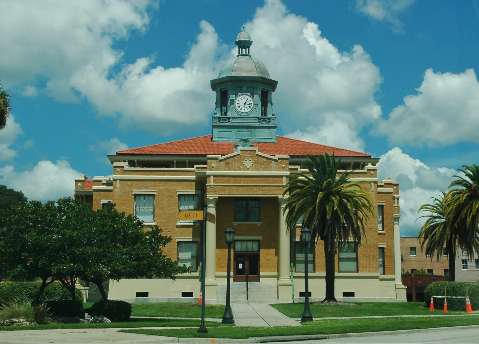
South Apopka Avenue in Inverness, Florida
South Apopka Avenue in Inverness is a two-lane local road. It runs in a north-south direction starting from Courthouse Square and crosses West Grace Street and ends at East Grace Street. This street is part of the highway "Dixie Highway (branch/loop) from Ocala to Tampa (1919)".
- Road Type
- local road
- Lanes
- 2
- Route
- north-south
Image
Restaurants
Fast food restaurants
Drinking water fountains
Colleges
Places of worship
Police stations
Doctor's offices
Social facilities
Schools
Courthouses
Supermarkets
Auto parts stores
Streets nearby
East Grace Street500 ft
Courthouse SquareInverness
500 ft
North Pine Avenue550 ft
Dr Martin Luther King Jr AvenueCitrus County Courthouse Annex, Citrus County Sheriff's Office
0.1 mi
North Seminole Avenue0.2 mi
Main StreetChili's, Culver's, Panera Bread, Pizza Hut, AutoZone, Joe's
0.2 mi
South Pine AvenueCardiovascular Services LLC & Vein Center
0.2 mi
East Highland BoulevardMcDonald's
0.2 mi
West Dampier StreetWithlacoochee Area Vocational-Technical Center
0.2 mi
South Seminole AvenueFirst Baptist Church
0.2 mi
West Grace Street0.2 mi
South Osceola Avenue0.3 mi
North Mill Avenue0.3 mi
East Dampier StreetThe Greater Mount Carmel Baptist Church, Saint James AME Church
0.3 mi
West Highland Boulevard0.3 mi
Zephyr Street0.3 mi
South Park Avenue0.3 mi
West Hill StreetWinn-Dixie
0.3 mi
Gulf to Lake HighwayCaliber Car Wash, Colonial Jewelry and Pawn
0.3 mi
North Osceola AvenueSaint Margaret's Episcopal Church, First Church of Christ Scientist
0.3 mi
South Citrus Avenue0.4 mi
North Citrus Avenue0.4 mi
Emery Street0.4 mi
Tompkins Street0.4 mi
North Line Avenue0.5 mi
Bay Street0.5 mi
East Short Street0.5 mi
Sassy Lane0.5 mi
Satellite Avenue0.5 mi
North Park Avenue0.5 mi
Lake Street0.5 mi
Stag Court0.6 mi
West Vine Street0.6 mi
North Apopka AvenueCitrus County Courthouse
0.6 mi
Buildings nearby
Masonic Business Center450 ft
Citrus County Chronicle550 ft
Inverness Government Center0.1 mi
Hospitals nearby
HCA Florida Citrus Hospital0.4 mi
Museums nearby
Old Courthouse Heritage Museum400 ft
Parks nearby
Cooter Pond Park0.3 mi
Liberty and Wallace Brooks parks0.4 mi
North Apopka Battlefield0.5 mi
Restaurants nearby
Motor City Pasta Company0.1 mi
Coach's Pub & Eatery0.1 mi
Stumpknockers0.1 mi
Pine Street Pub0.1 mi
McLeod House Bistro0.2 mi
Other nearby
Citrus County Sheriff's Office Heliport0.2 mi
Helipad HCA Florida Citrus Hospital0.3 mi
Public transit map Inverness Legend
| Railway | |
| Bus | |
| Streetcar |
Bicycle map Inverness Legend
| Bike path | |
| Bike lane on roadway | |
| Cycling allowed on bus lane | |
| Bicycle street | |
| Open to cyclists | |
| Open to cyclists, good path | |
| Cycling prohibited | |
| Cobblestone |
| Long-distance bike route | (depending on scale) | |
| Long-distance bike route |
Pedestrian map Inverness Legend
| Path |
| Long-distance hiking trail | (depending on scale) | |
| Long-distance hiking trail | ||
| Pedestrians prohibited |