
FAMU Law Ln in Orlando, Florida
FAMU Law Ln in Orlando is a service road and runs in a South direction starting from West Robinson Street and ends at West Washington Street. The nearest stop is West Washington Street and Beggs Avenue. The bus lines 25 and 54 serve this stop.
- Road Type
- service road
- Route
- north-south
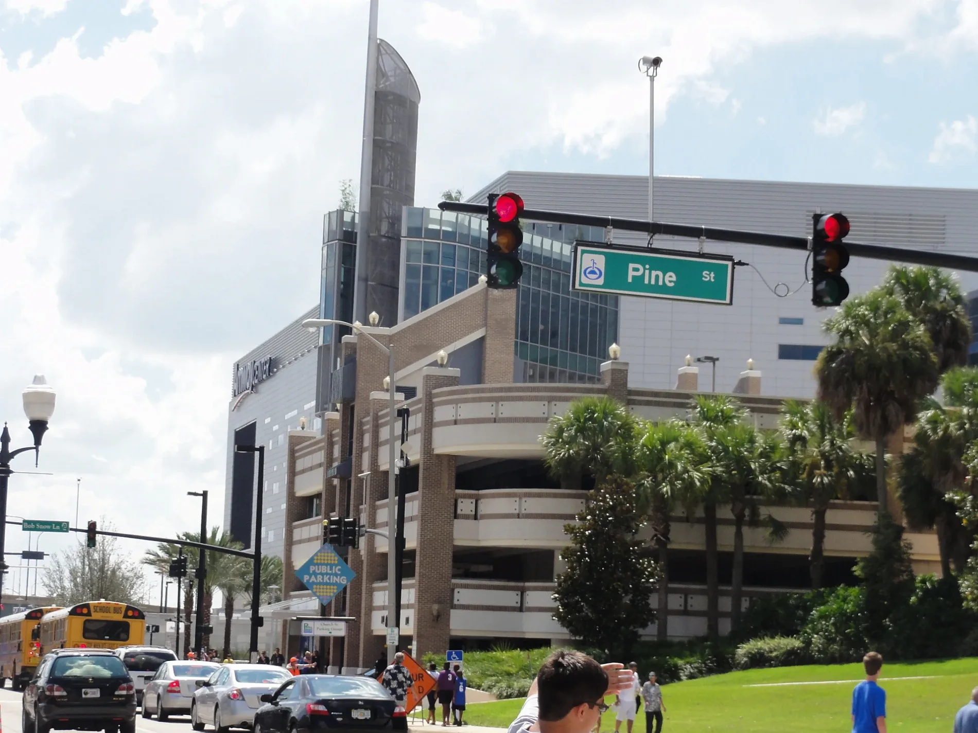
Image
Bus stops
- bus lines 25, 54
Streets nearby
West Washington StreetWest Washington Street and North Division Avenue, West Washington Street and North Lee Avenue, West Washington Street and North Parramore Avenue, West Washington Street and North Westmoreland Drive, West Washington Street and North Terry Avenue, Independent Bar, Planet Pizza, Anthem Orlando, 25
150 ft
North Hughey AvenueNorth Hughey Avenue and West Washington Street, North Hughey Avenue and West Robinson Street
250 ft
North Division Avenue0.1 mi
North Garland AvenueNorth Garland Avenue and West Washinton Street, The Maile Image Modeling & Acting School, North Garland Avenue and West Central Boulevard
0.1 mi
West Robinson StreetCallahan, 914118R, 914119X
0.1 mi
Grove Park Drive0.1 mi
Gertrude's WalkNorth Garland Avenue and East Jefferson Street
0.2 mi
West Central BoulevardCentral Business District, West Central Boulevard and South Orange Blossom Trail, West Central Boulevard and Fred L. Maxwell Boulevard, West Central Boulevard and Maryland Avenue, Westfield, West Central Boulevard and South Tampa Avenue, West Central Boulevard and Halbe Avenue, West Central Boulevard and Wilbe Avenue, West Central Boulevard and North Westmoreland Drive, West Central Boulevard and North Division Avenue, West Central Boulevard and North Parramore Avenue, West Central Boulevard and Pershing Place
0.2 mi
West Jefferson Street0.2 mi
Pittman Street0.2 mi
Chatham Avenue0.2 mi
Hughey AvenueNORTH ORLANDO
0.2 mi
South Division AvenueSouth Division Avenue and West Central Boulevard, South Division Avenue and West Pine Street, S.outhDivision Avenue and West Church Street, South Division Avenue and West Anderson Street, South Division Avenue and South Street, South Division Avenue and Callahan Drive, South Division Avenue and Carter Street
0.2 mi
West Livingston StreetAcropolis Greek Tarvena, Orlando Pottery Studio
0.2 mi
West Pine StreetLove Fellowship Christian Church, Downtown CREDO, Mercantile Bank, Downtown Pour House
0.3 mi
Bentley Street0.3 mi
South Terry AvenueSouth Terry Avenue and West Church Street, South Terry Avenue and West Central Boulevard
0.3 mi
North Terry AvenueTerry Avenue and Livingston Street, Dunkin'
0.3 mi
Alexander Place0.3 mi
Terry Avenue0.3 mi
Livingston Street0.3 mi
Ossie Street0.3 mi
North Parramore AvenueNoth Parramore Avenue and Ossie Street, North Parramore Avenue and West Washington Street, Advance Auto Parts
0.3 mi
Oakwood Street0.4 mi
Federal Street0.4 mi
McQuigg Avenue0.4 mi
Arts centers nearby
Bob Carr Theater0.2 mi
Artworks nearby
Artifact300 ft
Buildings nearby
Hurtson State Building South Tower350 ft
Hurtson State Building North Tower500 ft
Downtown Recreation Center0.4 mi
Community centers nearby
Callahan Neighborhood Center0.3 mi
Construction sites nearby
Westcourt Orlando0.2 mi
Courthouses nearby
George C. Young United States Federal Building and Courthouse350 ft
United States Court House500 ft
Hospitals nearby
AdventHealth Medical Training Center0.2 mi
Hotels nearby
Marriott Orlando Downtown0.2 mi
Industrial areas nearby
Florida Gas Transmission - Orlando0.2 mi
Parking lots nearby
Parramore Parking Garage0.3 mi
Places of worship nearby
Masjid Al-Haqq0.2 mi
Faith Deliverance Temple0.4 mi
Playgrounds nearby
Callahan Playground0.3 mi
Community Church Playground0.3 mi
Police stations nearby
Orlando Regional Operations Center0.1 mi
Railways nearby
Orlando Subdivision0.2 mi
Recreation grounds nearby
Callahan Basketball Courts0.2 mi
University buildings nearby
Florida A&M University College of Law200 ft
Communication and Media Building0.2 mi
Doctor Phillips Academic Commons0.3 mi
Public transit map Orlando Legend
| Railway | |
| Bus | |
| Streetcar |
Bicycle map Orlando Legend
| Bike path | |
| Bike lane on roadway | |
| Cycling allowed on bus lane | |
| Bicycle street | |
| Open to cyclists | |
| Open to cyclists, good path | |
| Cycling prohibited | |
| Cobblestone |
| Long-distance bike route | (depending on scale) | |
| Long-distance bike route |
Pedestrian map Orlando Legend
| Path |
| Long-distance hiking trail | (depending on scale) | |
| Long-distance hiking trail | ||
| Pedestrians prohibited |