
North 1st Street in Evansville, Indiana
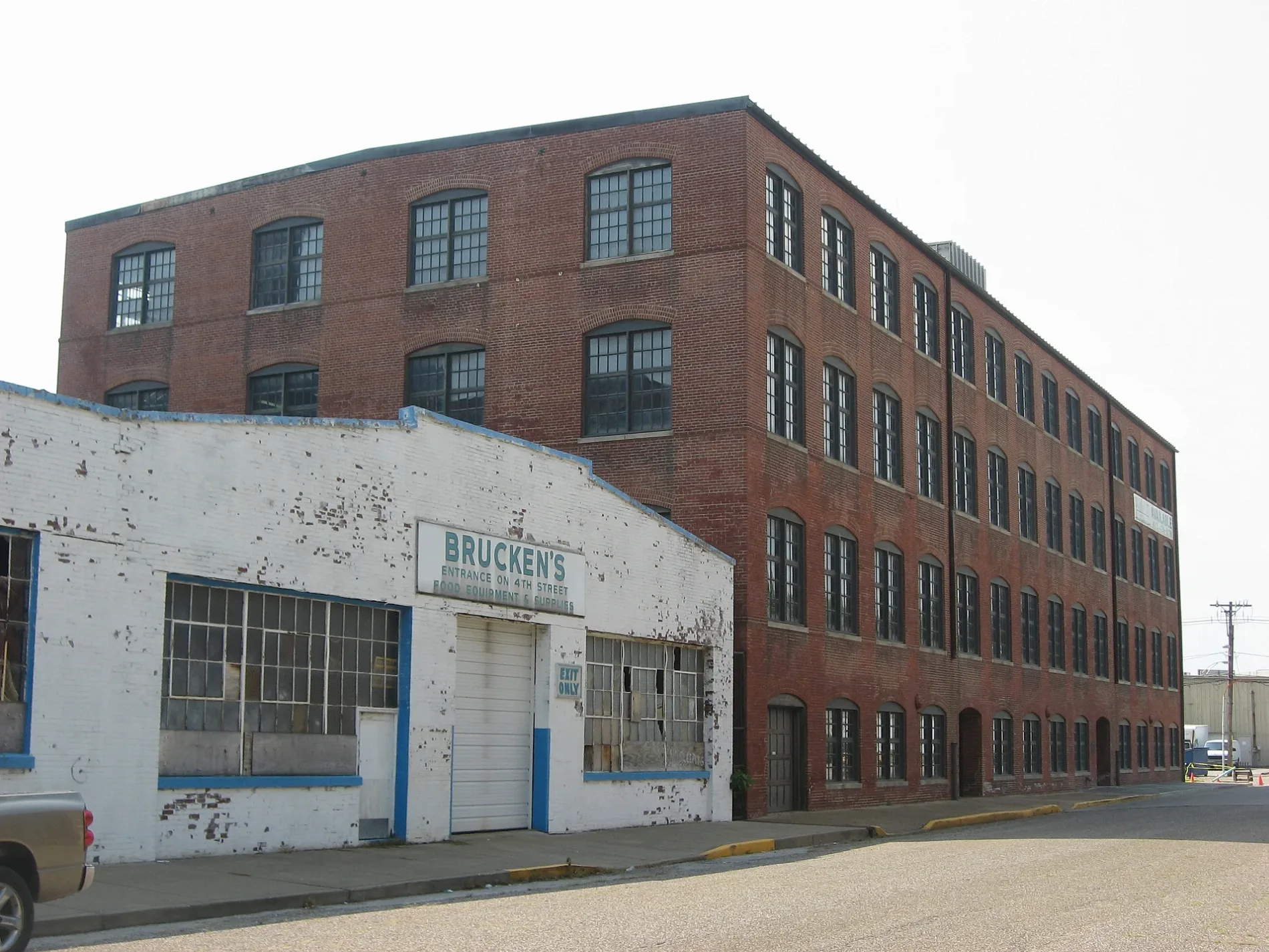
North 1st Street in Evansville is a main road. It runs as a one-way street in a north-south direction starting from North 1st Avenue and crosses West Division Street and West John Street and ends at Northwest 3rd Street. North 1st Street also exists in Newton County, Monroe County, Morgan County, Daviess County and Lawrence County.
- Road Type
- main road
- Route
- north-south
Image
Banks
Hotels
Post offices
Bakeries
Fast food restaurants
Places of worship
Restaurants
Town halls
Mailboxes
Schools
Cafes
Tourist information centers
Ice cream shops
Theaters
Bars
Viewpoints
Streets nearby
North 1st AvenueSecret Headquarters, Subway, Papa John's, Fifth Third Bank
150 ft
West John Street250 ft
Oakley Street550 ft
West Lloyd Expressway0.1 mi
Clark Street0.1 mi
Bond Street0.1 mi
West Indiana Street0.2 mi
Ohio Street0.2 mi
West Franklin StreetSacred Heart School, Pizza King | Evansville, IN, Independence
0.2 mi
Goodsell Street0.2 mi
West Division StreetMcDonald's
0.2 mi
Northwest 4th StreetWired Coffee House
0.2 mi
Carpenter Street0.2 mi
Northwest 3rd Street0.2 mi
Market Street0.2 mi
Northwest 6th StreetVictory Theatre
0.2 mi
North 4th Avenue0.2 mi
Mary Street0.2 mi
Coliseum Court0.3 mi
Northwest 2nd Street0.3 mi
South 3rd Avenue0.3 mi
Ingle Street0.3 mi
Court Street0.3 mi
Northwest 5th StreetLic's Deli & Ice Cream
0.3 mi
Northwest Martin Luther King Jr Boulevard0.3 mi
West Virginia Street0.3 mi
Vine StreetThe Short Lived Canal
0.3 mi
Harriet Street0.3 mi
Edgar Street0.4 mi
West Michigan Street0.4 mi
Northwest 8th Street0.4 mi
Read Street0.4 mi
John Street0.4 mi
Northwest 9th Street0.4 mi
Bars nearby
Birdies0.4 mi
The Rooftop0.4 mi
Buildings nearby
Fellwock Garage0.3 mi
Old Fellwock Auto Company0.3 mi
Courthouses nearby
Old County Courthouse0.3 mi
Dog parks nearby
Earthborn Holistic Dog Park0.3 mi
Event venues nearby
Veterans Memorial Coliseum0.2 mi
Garden centers nearby
Kiwi's Garden Center400 ft
Industrial buildings nearby
Amcor0.2 mi
Libraries nearby
Willard Library450 ft
Parks nearby
Willard Library Park450 ft
Places of worship nearby
First Avenue Presbyterian Church0.3 mi
Restaurants nearby
Lin's Asian Express0.3 mi
Sports centers nearby
YMCA0.3 mi
Other nearby
Civic Center Substation0.4 mi
Public transit map Evansville Legend
| Railway | |
| Bus | |
| Streetcar |
Bicycle map Evansville Legend
| Bike path | |
| Bike lane on roadway | |
| Cycling allowed on bus lane | |
| Bicycle street | |
| Open to cyclists | |
| Open to cyclists, good path | |
| Cycling prohibited | |
| Cobblestone |
| Long-distance bike route | (depending on scale) | |
| Long-distance bike route |
Pedestrian map Evansville Legend
| Path |
| Long-distance hiking trail | (depending on scale) | |
| Long-distance hiking trail | ||
| Pedestrians prohibited |