
Riverfront Place in Evansville, Indiana
Riverfront Place in Evansville is a service road. It runs in a southeast-northwest direction starting from Northwest Riverside Drive and crosses Overlook Plaza. It ends in a cul-de-sac.
- Road Type
- service road
- Route
- southeast-northwest
Image
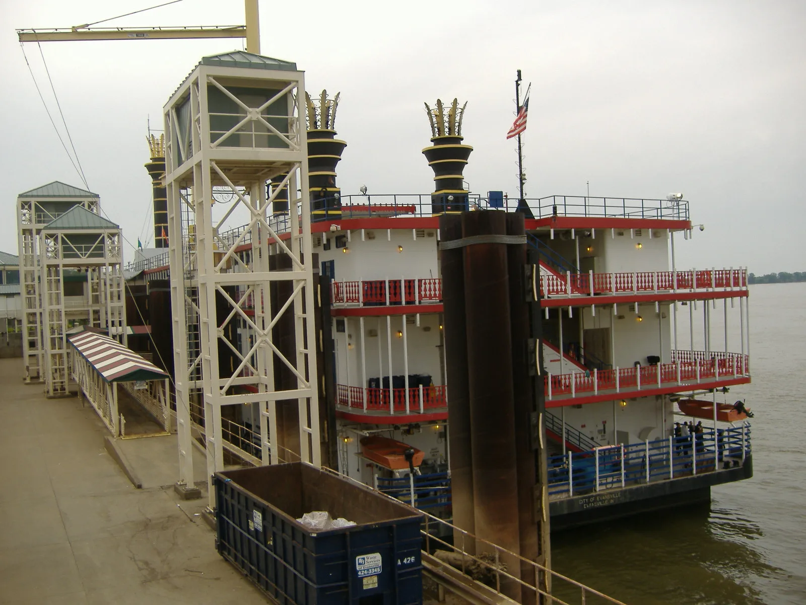
Bars
ATMs
Fabric stores
Clinics
Viewpoints
Interior decorators
Restaurants
Antique stores
Kindergartens
Tattoo studios
Event venues
Artworks
Laundries
Tourist information centers
Beauty salons
Schools
Streets nearby
Overlook Plaza0.1 mi
South Fulton AvenueLibertyX Bitcoin ATM
0.1 mi
Northwest 1st StreetMatthew 25 Aids Services, 1937 Flood
0.1 mi
Clark Street0.2 mi
Events PlazaCavanaugh's on the River
0.2 mi
Pigeon Creek GreenwayLamasco Park Trailhead, Piano Bar at Cavanaugh's
0.2 mi
South 3rd AvenueLittle Room, Victory Laundry Delivery
0.2 mi
Ohio Street0.3 mi
Ingle Street2nd Language, Tony's Art, United Caring Services
0.3 mi
Northwest 2nd StreetPangea Pizzaria Downtown
0.3 mi
Court StreetOf Thee Essencee, Otaku Tattoo Parlor, Ascension St. Vincent YMCA Physical Therapy, Ascension St. Vincent YMCA Primary & Specialty Care
0.3 mi
Carpenter StreetDowntown Evansville Mural, Underground Railway Station, Warehouse 410, Grateful Threads Fabric, Sugar Magnolias
0.3 mi
West John Street0.3 mi
North 4th Avenue0.3 mi
Northwest 3rd StreetDowntown, City Church MMO/Preschool
0.3 mi
Vine StreetSuperior Electric Supply, The Short Lived Canal
0.3 mi
Goodsell Street0.3 mi
Sesame Street0.3 mi
Northwest Riverside Drive421 Lounge, Bally Bet Sportsbook & Bar, The Deli
0.3 mi
West Lloyd ExpresswayHotcardealZ
0.4 mi
Bond Street0.4 mi
Apartment buildings nearby
Market Street Apartments0.4 mi
Attractions nearby
USS LST-325500 ft
Auto repair shops nearby
Schneider Paint and Body0.2 mi
Buildings nearby
Evansville Vanderburgh Levee Authority0.1 mi
Executive Confrence Center0.2 mi
Fine & Hatfield0.2 mi
Ohio Street Pumping Station0.2 mi
OneMain Financial Headquarters0.2 mi
Mounts Electric0.3 mi
CenterPoint Energy0.3 mi
Fred Geiger and Sons National Biscuit Company Building0.3 mi
BCCLT Consulting Engineers0.3 mi
Habegger Corporation0.3 mi
Willard Carpenter House0.3 mi
Commercial areas nearby
OneMain Financial0.3 mi
Commercial buildings nearby
Sterling Industrial LLC0.2 mi
Dog parks nearby
Earthborn Holistic Dog Park0.3 mi
Event venues nearby
Bally's Riverfront Event Center0.2 mi
Noco Park0.2 mi
Gaming parlors nearby
J&J Ventures Amusements0.3 mi
Hotels nearby
Le Merigot at Tropicana400 ft
Bally's Evansville Casino & Hotel0.2 mi
Parks nearby
Le Merigot Park350 ft
Places of worship nearby
City Church0.4 mi
Railways nearby
Ohio Street Train0.4 mi
Studios nearby
WEVV0.3 mi
Warehouses nearby
Lannert-Moutoux Warehouse0.2 mi
Other nearby
Ingle Station0.3 mi
Public transit map Evansville Legend
| Railway | |
| Bus | |
| Streetcar |
Bicycle map Evansville Legend
| Bike path | |
| Bike lane on roadway | |
| Cycling allowed on bus lane | |
| Bicycle street | |
| Open to cyclists | |
| Open to cyclists, good path | |
| Cycling prohibited | |
| Cobblestone |
| Long-distance bike route | (depending on scale) | |
| Long-distance bike route |
Pedestrian map Evansville Legend
| Path |
| Long-distance hiking trail | (depending on scale) | |
| Long-distance hiking trail | ||
| Pedestrians prohibited |