
Sancar Way in Durham, NC 27709
Sancar Way in Durham, NC 27709 (Durham County) is a three-lane, asphalted residential street (private). It runs in an east-west direction starting from Park Offices Drive and crosses Modrich Boulevard, Elion Drive, Davis Drive and Park Drive. Nearby there is a restaurant. The nearest bus stop is NC 54 at Park Dr (First Citizens Bank) (about 250 m away).
- Road Type
- residential street
- Lanes
- 3
- Route
- east-west
Image
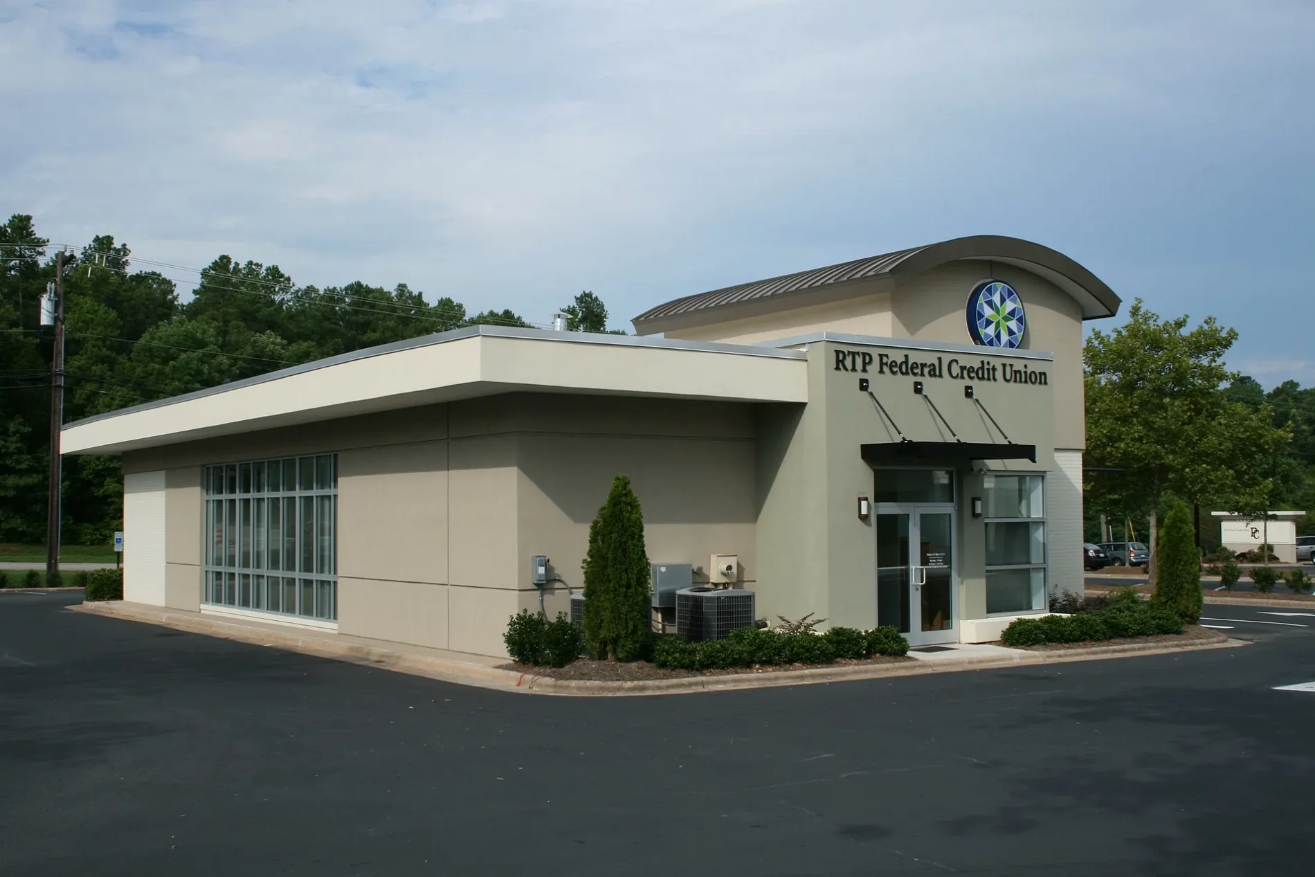
Restaurants
Streets nearby
Modrich Boulevard150 ft
Hitchings Way0.1 mi
Park Offices DriveNC 54 at Park Office Dr (The Frontier), La Taqueria, Baekho Coffee & Ice Cream, Bulkogi, Boxyard RTP
0.2 mi
Rodbell Street0.2 mi
Elion DriveDrift Coffee Shop & Kitchen, Nanny Goat Market
0.2 mi
Park Drive0.3 mi
East Institute Road0.3 mi
Park Center LoopNC 54 at Park Dr (Inbound), NC 54 at Research Triangle High School, NC 54 at Park Dr (First Citizens Bank)
0.3 mi
Jogging Trail - Laboratory Drive0.6 mi
Old Durham Freeway0.7 mi
Triangle ExpresswayNC 885 Toll Gantry
0.7 mi
Durham Freeway0.7 mi
RTP Connector Trail0.8 mi
Laboratory Drive0.8 mi
Hanes Drive0.8 mi
West Institute Road0.8 mi
Finsbury Street0.8 mi
T.W. Alexander Drive0.8 mi
Davis DriveDavis Dr at Hopson Rd (Verisk Health), Davis Dr at Hopson Rd (NB)
0.8 mi
Jogging Trail - NC 54NC 54 at New Millennium Way (WB), NC 54 at New Millennium Way (EB), NC 54 at Triangle Dr (EB), NC 54 at Triangle Dr (WB)
0.9 mi
East Cornwallis Road0.9 mi
Luxury Lane0.9 mi
Sidepark Street0.9 mi
Avett Drive0.9 mi
Egg Loop Road0.9 mi
Libson Street0.9 mi
Innovation Lane1.0 mi
Estridge Drive1.0 mi
Kitty Hawk Way1.0 mi
Eagleson Street1.0 mi
Chin Page Road1.0 mi
Banks nearby
Wells Fargo0.2 mi
Buildings nearby
Frontier Building 8000.3 mi
Six Davis Drive0.5 mi
POMAlarm0.7 mi
IBM Building 4000.9 mi
Commercial areas nearby
Hub RTP0.2 mi
RTI International0.4 mi
Commercial buildings nearby
BASF Corporation - The Research Triangle Park0.5 mi
Hotels nearby
Extended Stay America0.9 mi
Hilton Garden Inn Raleigh-Durham/Research Triangle Park1.0 mi
Parking lots nearby
Fidelity Investments Parking Deck0.7 mi
Parks nearby
First Flight Venture Center0.7 mi
Railways nearby
NS Danville District H Line0.9 mi
Residential areas nearby
MAA Nixie0.3 mi
Retail areas nearby
Boxyard RTP0.4 mi
Sports fields nearby
RTP Volleyball Courts 1-30.6 mi
Streams nearby
Burdens Creek0.3 mi
Waters nearby
Fidelity Investments Fountian Pond0.7 mi
Public transit map Durham County Legend
| Railway | |
| Bus | |
| Streetcar |
Bicycle map Durham County Legend
| Bike path | |
| Bike lane on roadway | |
| Cycling allowed on bus lane | |
| Bicycle street | |
| Open to cyclists | |
| Open to cyclists, good path | |
| Cycling prohibited | |
| Cobblestone |
| Long-distance bike route | (depending on scale) | |
| Long-distance bike route |
Pedestrian map Durham County Legend
| Path |
| Long-distance hiking trail | (depending on scale) | |
| Long-distance hiking trail | ||
| Pedestrians prohibited |