
Elijah Pierce Avenue in Columbus, Ohio
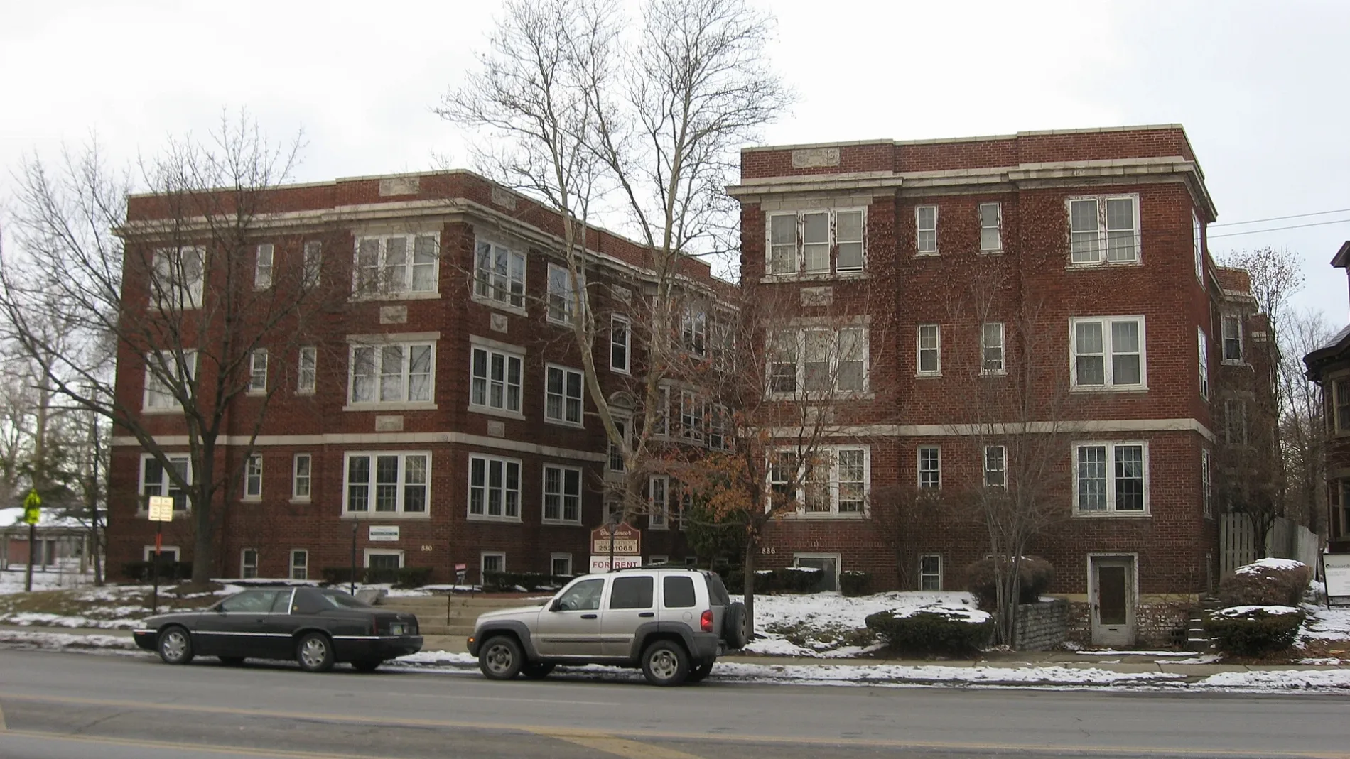
Elijah Pierce Avenue in Columbus is a three-lane, asphalted secondary road. The street has a sidewalk as well as a bike lane (bike lane). It runs as a one-way street in a south-north direction starting from East Broad Street and crosses East Long Street and ends at East Spring Street.
- Road Type
- secondary road
- Lanes
- 3
- Speed Limit
- 25 mph
- Route
- north-south
Image
Schools
Florists
Bike rentals
Candle shops
Hair salons
Bus stops
- bus lines 41, 42, 43, 44, 45, 46
Beer gardens
Cafes
Ice cream shops
Restaurants
Pharmacies
Bars
Liquor stores
Tattoo studios
Streets nearby
Glover Alley300 ft
Hamilton Park West Service350 ft
Lester Drive350 ft
Hamilton Park East Service450 ft
Willow Street450 ft
Hamilton AvenueHamilton Ave & E 18th Ave, Hamilton Ave & E 17th Ave, Hamilton Ave & E 21st Ave, Hamilton Ave & E 24th Ave, Hamilton Ave & Clinton St, Hamilton Ave & Duxberry Ave
500 ft
East Broad StreetUnited States Postal Service Mailbox, Northeast Cannon, These Are My Jewels, Lest We Forget, Northwest Cannon, E Broad St & N High St, E Broad St & S High St, Credit Union of Ohio ATM, E Broad St & S 4th St, E Broad St & N Grant Ave, E Broad St & S Grant Ave, E Broad St & N Nelson Rd, E Broad St & Monypenny Ave, E Broad St & Taylor Station Rd, E Broad St & N 3rd St, E Broad St & S 3rd St, E Broad St & S 5th St, E Broad St & N 5th St, E Broad St & N 4th St, Discovery District, Cup O Joe, Broad Street United Methodist Church, E Broad St & N Washington Ave, E Broad St & S Washington Ave, E Broad St & Jefferson Ave, E Broad St & Winner Ave, E Broad St & Wilson Ave, E Broad St & Hamilton Park, E Broad St & Parsons Ave, E Broad St & Cardinal Park Dr, E Broad St & N Ohio Ave, E Broad St & S Ohio Ave, E Broad St & N 17th St, E Broad St & S James Rd, KeyBank, E Broad St & Reynolds Crossing Dr, E Broad St & Bannockburn Blvd, Speedway, E Broad St & Waggoner Rd, E Broad St & Meijer Dr, E Broad St & Cedar Cliff, 8400 E Broad St, E Broad St & the Limited, 3675 E Broad St, Walgreens, E Broad St & S Napoleon Ave, E Broad St & N Weyant Ave, Grandma's Pizza & Pasta, Snap & Crack Locksmith, Buckeye Pets, Impress Beauty Outlet, Synergi Salon, The Vaper Shop, Z's Asian Bistro, E Broad St & N Hampton Rd, E Broad St & S Hampton Rd, E Broad St & N Ashburton Rd, E Broad St & Lowell Rd, E Broad St & Kellner Rd, E Broad St & N Harding Rd, E Broad St & S Harding Rd, E Broad St & N Broadleigh Rd, E Broad St & S Broadleigh Rd, E Broad St & Brunson Ave, E Broad St & Franklin Park Con, E Broad St & Woodland Ave, E Broad St & Parkwood Ave, E Broad St & Franklin Pk W, E Broad St & Latta Ave, E Broad St & Governor Pl, E Broad St & S Champion Ave, Near East Side, E Broad St & N 20th St, E Broad St & Hoffman Ave, E Broad St & S Douglas St, E Broad St & Mcnaughten Rd, Chick-fil-A, E Broad St & Outerbelt St, E Broad St & Brice Rd, E Broad St & N Brice Rd, E Broad St & Broad Pointe Pl, E Broad St & Eastpointe Ridge Dr, Turkey Hill, E Broad St & Blacklick Xing, E Broad St & Reynoldsburg New Albany, E Broad St & Lancaster Ave
0.1 mi
Jefferson AvenueEleventh Avenue School, Academy For Leadership
0.1 mi
Hamilton Park0.1 mi
Kiefer Avenue0.1 mi
Willow Alley0.1 mi
Parsons AvenueParsons Ave & Ashwood Rd, Parsons Ave & Elsmere St, Parsons North Brewing Company, Parsons Ave & Columbus St, Parsons Ave & Zimpfer St, Parsons Ave & Thurman Ave, Parsons Ave & E Welch Ave, Awol Bar, Olde Towne Flowers and Gifts, Parsons Ave & Groveport Rd, Parsons Ave & Dering Ave, Parsons Ave & Frebis Ave, Parsons Ave & E Alcott Rd, Parsons Avenue Church of Christ, Parson's Avenue Church of God, Parsons Ave & Williams Rd, Parsons Ave & Rumsey Rd, Parsons Ave & Hilock Ave, Far South Columbus, The Mercury Diner, WingStreet, Parsons Ave & E Whittier St, Strut The Salon, Alchemy Cafe, Headies Hideout, 39 Below FroYo, Upper Cup Coffee, Royal Tresses Hair Salon, Cap City Tattoo Co., The Candle Booth, Steelton, Parsons Ave & E Barthman Ave, Parsons Ave & E Innis Ave, Parsons Ave & Southwood Ave, Parsons Ave & Sheldon Ave, Parsons Ave & E Gates St, Chef Hiro, Parsons Ave & Corr Rd, Parsons Ave & Ziegler Ave, Parsons Ave & Harland Dr, Parsons Ave & Indian Mound Park, Parsons Baptist Church
0.1 mi
East Capital StreetPNC Bank
0.2 mi
North 11th Street0.2 mi
East Innerbelt0.2 mi
Garfield Place0.2 mi
South Garfield Avenue0.2 mi
Agate Alley0.2 mi
Oak StreetColumbus Windows and Siding Company, The Olde Towne Tavern, Yellow Brick Pizza, Arcade SuperAwesome, The Olde Oak, CoGo Parsons Ave and Oak St, Gemüt Biergarten, Local Cantina, Koso, Taste of Greece & Morocco Street Food, The Plant Gays, Winston's Coffee & Waffles, Just Chicken, The Bearded Baker, NOLA Daq Shack, Saba Middle Eastern Grill, Masa Mexican Grill, Monster Baby Donuts, The Railhouse, Switch, Michi Patterns, Corner Stone Craft Beer & Wine, Hangover Easy
0.2 mi
St Clair Avenue0.2 mi
North Monroe Avenue0.2 mi
Elliott Alley0.2 mi
Martin Luther King Junior Boulevard0.3 mi
Mayme Moore Place0.3 mi
North Garfield Avenue0.3 mi
Brier Alley0.3 mi
Gustavus LaneOld Familiar Barber Shop
0.3 mi
Talmadge Street0.3 mi
Sisco Alley0.3 mi
Allotment gardens nearby
OTE Community Garden0.3 mi
Apartment buildings nearby
The Frisble Apartments0.1 mi
Ogden Apartments0.2 mi
Buildings nearby
Gateway Health And Wellness Center550 ft
Gittes Law Group0.2 mi
Commercial buildings nearby
Lincoln Theater King Arts Complex0.1 mi
Columbus Music Hall0.2 mi
Theresa Building0.2 mi
Construction sites nearby
Diehl-Whittaker Development0.1 mi
Convenience stores nearby
Duchess Shoppe0.3 mi
Gas stations nearby
BP0.3 mi
Parks nearby
Thurber Park0.1 mi
Hamilton & Spring Park0.2 mi
Places of worship nearby
Broad Street Presbyterian Church0.2 mi
Shiloh Christian Center0.2 mi
Bethany Presbyterian Church0.3 mi
Residential areas nearby
The Adelphi Quarter0.3 mi
Restaurants nearby
Dragon One0.1 mi
School buildings nearby
Jefferson Center For Learning & The Arts550 ft
Theaters nearby
The Bluestone0.2 mi
 Public transit map Columbus Legend
| Railway | |
| Bus | |
| Streetcar |
 Bicycle map Columbus Legend
| Bike path | |
| Bike lane on roadway | |
| Cycling allowed on bus lane | |
| Bicycle street | |
| Open to cyclists | |
| Open to cyclists, good path | |
| Cycling prohibited | |
| Cobblestone |
| Long-distance bike route | (depending on scale) | |
| Long-distance bike route |
 Pedestrian map Columbus Legend
| Path |
| Long-distance hiking trail | (depending on scale) | |
| Long-distance hiking trail | ||
| Pedestrians prohibited |