
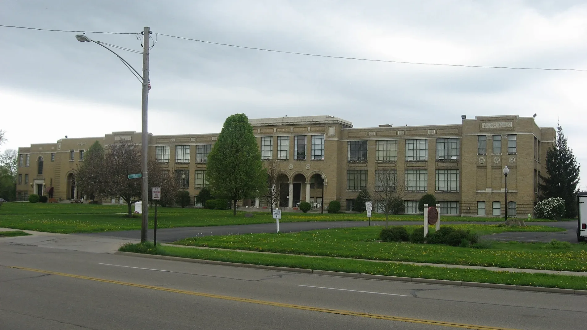
East Emerson Avenue in Fairborn, Ohio
East Emerson Avenue in Fairborn is a residential street. It runs in an east-west direction starting from West Emerson Avenue and crosses North Central Avenue, North Maple Avenue and June Drive and ends at Wallace Drive.
- Road Type
- residential street
- Route
- east-west
Image
Cafes
Hair salons
Gift shops
Gas stations
Sporting goods stores
Places of worship
Restaurants
Liquor stores
Jewelry stores
Convenience stores
Collector shops
Bars
Schools
Fast food restaurants
Dentist offices
Gun stores
Streets nearby
Williams Street250 ft
North Maple Avenue350 ft
Whittier Avenue500 ft
Wallace Drive0.1 mi
Archer Drive0.1 mi
East Whittier Avenue0.1 mi
Holmes Drive0.2 mi
Winston Drive0.2 mi
Lincoln Drive0.2 mi
Hawthorne Drive0.2 mi
East Hebble Avenue0.2 mi
June Drive0.2 mi
Swigart Drive0.2 mi
Royal Street0.2 mi
Schneider Drive0.2 mi
Mann Avenue0.2 mi
Wayne Drive0.2 mi
West Whittier Avenue0.3 mi
James Drive0.3 mi
West Emerson Avenue0.3 mi
Morris Drive0.3 mi
West Hebble Avenue0.3 mi
Victory Drive0.3 mi
North Elm Avenue0.3 mi
East Xenia DriveCasey’s
0.3 mi
North Broad StreetFifty5 Rivers Cold Brew, McDonald's, Mary Help of Christians Catholic Church, Speedway
0.3 mi
East Dayton DriveSugar Mellon's Club, Ande's Drive Thru
0.4 mi
Slip Lane North0.4 mi
North Pleasant Street0.4 mi
North Central AvenueTrinity United Church of Christ
0.4 mi
North 3rd Street0.4 mi
Park Lane0.4 mi
West Xenia Drive0.4 mi
East Main StreetCoyne's Crystals, Main Street Hair Company, Mirabella Boutique, Bourbon Bayou Bistro, M.A. Blumenschein Family Dentistry, Schwartz Jewelry Store
0.5 mi
North Wright AvenueMr. P's Lounge, NFA Arms LLC Gun Store
0.5 mi
North Grand Avenue0.5 mi
Auto parts stores nearby
Genuine Auto Parts0.4 mi
Banks nearby
U.S. Bank0.5 mi
Collector shops nearby
Bookery0.5 mi
Hotels nearby
Suburban Studios0.3 mi
Quality Inn0.4 mi
Libraries nearby
Fairborn Community Library0.4 mi
Parks nearby
Baker Middle School Park0.2 mi
Memorial Park0.2 mi
Party supply stores nearby
Foy's Kids0.4 mi
Post offices nearby
Fairborn Post Office0.3 mi
Restaurants nearby
Tickets Pub and Eatery0.5 mi
Schools nearby
East Elementary School0.2 mi
Theaters nearby
Actors Theater of Fairborn0.4 mi
Public transit map Fairborn Legend
| Railway | |
| Bus | |
| Streetcar |
Bicycle map Fairborn Legend
| Bike path | |
| Bike lane on roadway | |
| Cycling allowed on bus lane | |
| Bicycle street | |
| Open to cyclists | |
| Open to cyclists, good path | |
| Cycling prohibited | |
| Cobblestone |
| Long-distance bike route | (depending on scale) | |
| Long-distance bike route |
Pedestrian map Fairborn Legend
| Path |
| Long-distance hiking trail | (depending on scale) | |
| Long-distance hiking trail | ||
| Pedestrians prohibited |