
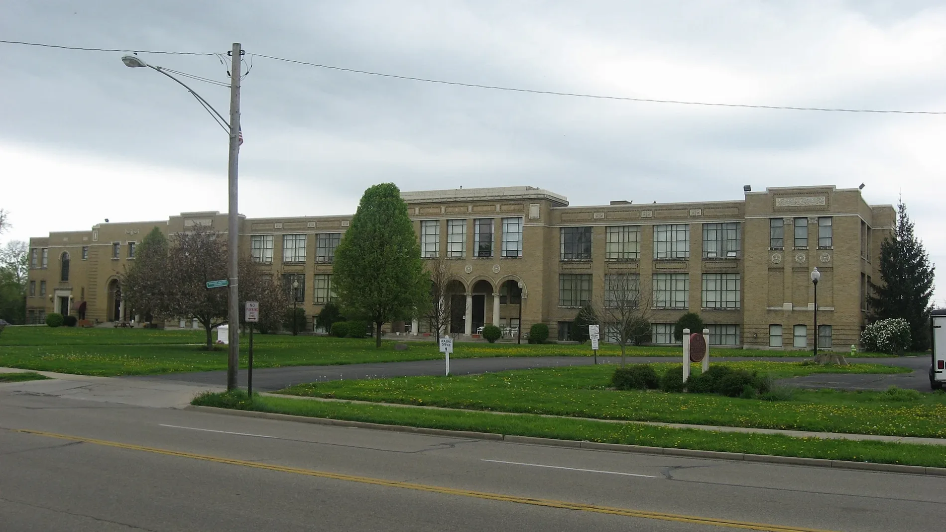
Schneider Drive in Fairborn, Ohio
Schneider Drive in Fairborn is a residential street and runs in an east-west direction starting from North Central Avenue and ends at North Maple Avenue.
- Road Type
- residential street
- Route
- east-west
Image
Cafes
Restaurants
Gas stations
Liquor stores
Dentist offices
Places of worship
Hair salons
Convenience stores
Gun stores
Collector shops
Bars
Schools
Fast food restaurants
Gift shops
Jewelry stores
Streets nearby
James Drive350 ft
West Whittier Avenue0.1 mi
Winston Drive0.2 mi
West Emerson Avenue0.2 mi
North Broad StreetFifty5 Rivers Cold Brew, McDonald's, Mary Help of Christians Catholic Church, Speedway
0.2 mi
East Hebble Avenue0.2 mi
Meadow Drive0.2 mi
Wayne Drive0.2 mi
East Emerson Avenue0.2 mi
North Central AvenueTrinity United Church of Christ
0.2 mi
North Maple Avenue0.2 mi
June Drive0.2 mi
Whittier Avenue0.2 mi
West Hebble Avenue0.2 mi
Williams Street0.2 mi
Hawthorne Drive0.2 mi
Swigart Drive0.3 mi
East Whittier Avenue0.3 mi
Wallace Drive0.3 mi
Archer Drive0.3 mi
Lincoln Drive0.3 mi
Holmes Drive0.3 mi
North 3rd Street0.4 mi
Royal Street0.4 mi
Margaret Drive0.4 mi
Grant Street0.4 mi
School Drive0.4 mi
Mitman Drive0.4 mi
Lohnes Drive0.4 mi
Mc Intire Drive0.4 mi
Lewis Drive0.5 mi
Circle Drive0.5 mi
Bob Street0.5 mi
Overlook Drive0.5 mi
Highview DriveSpeedway
0.5 mi
Oakhill Avenue0.5 mi
Davis Drive0.6 mi
Buildings nearby
Guard House0.5 mi
Cemeteries nearby
Mitman Cemetery0.5 mi
Hotels nearby
Suburban Studios0.1 mi
Quality Inn0.2 mi
Military areas nearby
Gate 26A (Commercial Traffic Only)0.5 mi
Parks nearby
Memorial Park0.2 mi
Fairfield Park0.3 mi
Baker Middle School Park0.3 mi
Places of worship nearby
First Baptist Church of Fairborn0.4 mi
First Presbyterian Church of Fairborn0.5 mi
Playgrounds nearby
Mary Halp Playground0.3 mi
Post offices nearby
Fairborn Post Office0.2 mi
Public transit map Fairborn Legend
| Railway | |
| Bus | |
| Streetcar |
Bicycle map Fairborn Legend
| Bike path | |
| Bike lane on roadway | |
| Cycling allowed on bus lane | |
| Bicycle street | |
| Open to cyclists | |
| Open to cyclists, good path | |
| Cycling prohibited | |
| Cobblestone |
| Long-distance bike route | (depending on scale) | |
| Long-distance bike route |
Pedestrian map Fairborn Legend
| Path |
| Long-distance hiking trail | (depending on scale) | |
| Long-distance hiking trail | ||
| Pedestrians prohibited |