
Cromwell Road in Chattanooga, Tennessee
Cromwell Road in Chattanooga is a residential street. It runs in a north-south direction starting from Jersey Pike and crosses Pryor Drive, Turntable Road, Camellia Drive and Caine Lane and ends at Shallowford Road.
- Road Type
- residential street
- Route
- north-south
Image
Gas stations
Schools
Hair salons
Convenience stores
Places of worship
Museums
- Louisville & Nashville Historical Society (L&N Historical Society, opening hours: "by appointment", Web) at Turntable Road 4543 (37421). Offices and archives of the L&N Historical Society. Not open to the public. – approx. 0.2 mi.
Self storages
Fishing tackle shops
Car dealerships
Restaurants
Stations
Furniture stores
Fast food restaurants
Streets nearby
Turntable RoadSouthern Railway Historical Assoc, Louisville & Nashville Historical Society
0.2 mi
Tag RoadWestRock
0.3 mi
Lightfoot Mill RoadTyler Holdout, Oakwood Church
0.3 mi
Pryor DrivePublic Storage
0.4 mi
Industry Drive0.4 mi
Tag Drive0.4 mi
Volunteer Drive0.4 mi
Deerfoot Drive0.4 mi
Cherwood Lane0.5 mi
Arrowrock Road0.5 mi
Powers Court0.5 mi
Moss Road0.6 mi
Peach Street0.6 mi
Byrd Avenue0.6 mi
Villa Green Court0.7 mi
Redland Drive0.7 mi
Linton Avenue0.7 mi
Bonny Oaks DriveCity Cafe, Creative Vision Hair Salon, Jack's Bait and Tackle, Exxon, Silverdale Baptist Church, Silverdale Cumberland Presbyterian Church, Mobil, Wendy's, Starbucks, Taco Bell, Tyner Church of Christ, Mount Joy Church
0.7 mi
Redlands Drive0.7 mi
Davis Lane0.7 mi
Buildings nearby
Stainless Metal Products Inc0.2 mi
Buildings nearby
Lumberjacks Tree Service150 ft
Duke Hicks200 ft
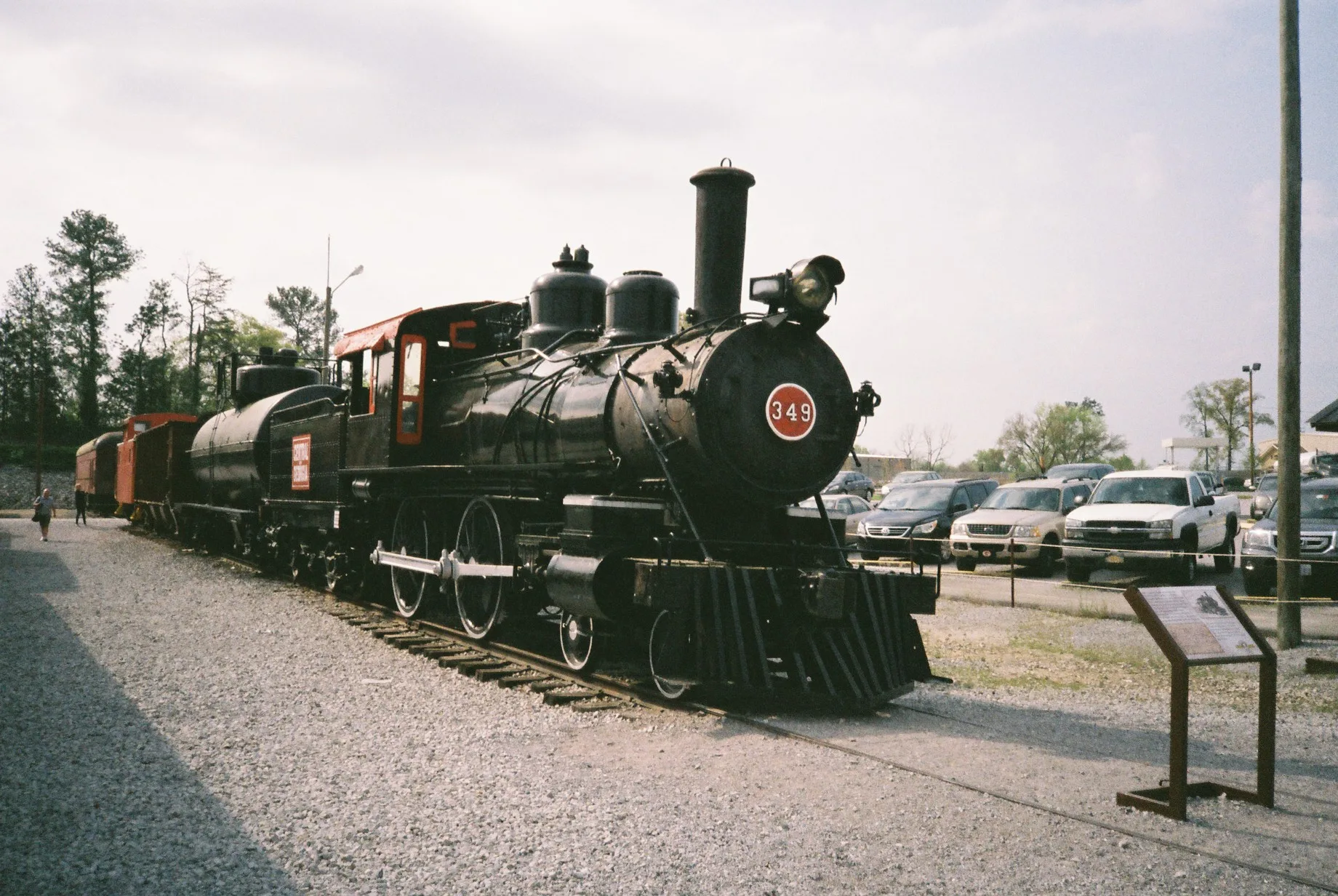
Tennessee Valley Railroad Museum - Main Office250 ft
Futura Era Construction250 ft
First Choice Services Inc.450 ft
TVRM Office Building550 ft
TVRM - Warehouse0.2 mi
Jacobs Engineering Group0.3 mi
Teamsters Co.0.7 mi
Fire stations nearby
Bonny Oaks Drive Fire Station0.6 mi
Industrial areas nearby
Lincoln Terminal0.2 mi
WestRock0.2 mi
Propex0.3 mi
Chattanooga Pump Station0.5 mi
Magellan Terminal0.5 mi
Citgo0.6 mi
Jersey Terminals0.6 mi
Chattanooga Terminal0.6 mi
Chattanooga Delivery Station0.6 mi
Chattanooga Pumping Station0.6 mi
Museums nearby
Tennessee Valley Railroad Museum - Grand Junction0.2 mi
Tennessee Valley Railroad Museum0.2 mi
Picnic areas nearby
Picnic Grove0.2 mi
Places of worship nearby
Oakwood Baptist Church0.7 mi
South Bay Seventh-day Adventist Church0.7 mi
Oakwood Baptist Community Center0.7 mi
Railways nearby
NS Chattanooga Terminal District0.4 mi
Warehouses nearby
Applied Industrial Technologies0.5 mi
Public transit map Chattanooga Legend
| Railway | |
| Bus | |
| Streetcar |
Bicycle map Chattanooga Legend
| Bike path | |
| Bike lane on roadway | |
| Cycling allowed on bus lane | |
| Bicycle street | |
| Open to cyclists | |
| Open to cyclists, good path | |
| Cycling prohibited | |
| Cobblestone |
| Long-distance bike route | (depending on scale) | |
| Long-distance bike route |
Pedestrian map Chattanooga Legend
| Path |
| Long-distance hiking trail | (depending on scale) | |
| Long-distance hiking trail | ||
| Pedestrians prohibited |