
Turntable Road in Chattanooga, Tennessee
Turntable Road in Chattanooga is an unclassified road and it runs in an east-west direction and ends at Cromwell Road, while the other end is a cul-de-sac. Nearby you can find 2 museums.
- Road Type
- unclassified road
- Route
- east-west
Image
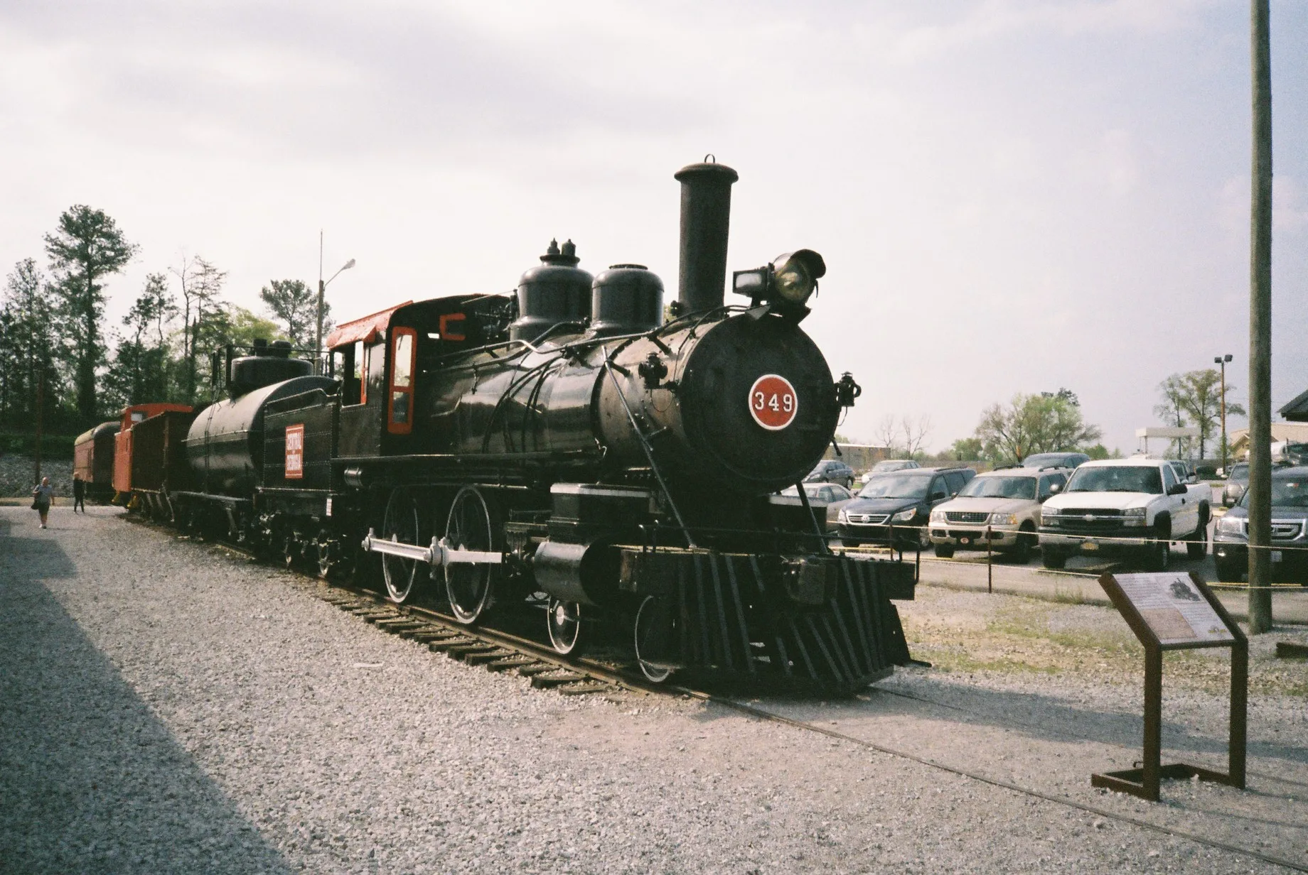
Museums
- Louisville & Nashville Historical Society (L&N Historical Society, opening hours: Open by appointment only, Web) at Turntable Road 4543 (37421). Offices and archives of the L&N Historical Society. Not open to the public..
Streets nearby
Cromwell Road0.2 mi
Tag RoadWestRock
0.3 mi
Marigold Drive0.4 mi
Cherwood Lane0.4 mi
Deerfoot Drive0.4 mi
Zinnia Street0.4 mi
Lightfoot Mill RoadTyler Holdout, Oakwood Church
0.4 mi
Dahlia Street0.5 mi
Arrowrock Road0.5 mi
Juniper Street0.5 mi
Chief Vann Road0.5 mi
Jasmine Street0.5 mi
Pryor DrivePublic Storage
0.5 mi
Camellia Drive0.5 mi
Industry Drive0.6 mi
Tag Drive0.6 mi
Peach Street0.6 mi
South Chickamauga Creek GreenwaySweet Basil Thai Cuisine, Simply 10
0.6 mi
Thunderbird Drive0.6 mi
Jersey PikeJersey, Midnite Oil
0.6 mi
Volunteer Drive0.6 mi
Moss Road0.6 mi
Caine LaneCromwell Baptist Church, Creekwood Terrace
0.6 mi
Butterfly DriveCherokee Woods
0.6 mi
Alexis Circle0.7 mi
Byrd Avenue0.7 mi
Youngstown Road0.7 mi
Tee Pee Drive0.7 mi
Shallowford RoadEye Ear 1 Hour Optical, Waffle House, Shallowford Smiles, The Lantern at Morning Pointe Alzheimer's Center of Excellence, Chattanooga, Grace Baptist Church, Nothing Bundt Cakes, Hickory Valley Christian Church
0.9 mi
Graceland Trail0.9 mi
Buildings nearby
SMP0.4 mi
Buildings nearby
TVRM - Warehouse250 ft
TVRM Office Building0.1 mi
Jacobs Engineering Group0.2 mi
Tennessee Valley Railroad Museum - Main Office0.2 mi
Heritage railways nearby
McCarty Siding0.4 mi
Industrial areas nearby
WestRock0.2 mi
Hamilton County Highway Department0.3 mi
Lincoln Terminal0.4 mi
Propex0.4 mi
Industrial buildings nearby
Farley's & Sathers Candy Company0.7 mi
Museums nearby
Tennessee Valley Railroad Museum0.1 mi
Tennessee Valley Railroad Museum - Grand Junction0.2 mi
Picnic areas nearby
Picnic Grove0.1 mi
Railways nearby
CSX W&A Subdivision0.3 mi
NS Chattanooga Terminal District0.3 mi
Tyner House track0.7 mi
Tyner Branch0.8 mi
Warehouses nearby
Applied Industrial Technologies0.6 mi
Public transit map Chattanooga Legend
| Railway | |
| Bus | |
| Streetcar |
Bicycle map Chattanooga Legend
| Bike path | |
| Bike lane on roadway | |
| Cycling allowed on bus lane | |
| Bicycle street | |
| Open to cyclists | |
| Open to cyclists, good path | |
| Cycling prohibited | |
| Cobblestone |
| Long-distance bike route | (depending on scale) | |
| Long-distance bike route |
Pedestrian map Chattanooga Legend
| Path |
| Long-distance hiking trail | (depending on scale) | |
| Long-distance hiking trail | ||
| Pedestrians prohibited |