
Swinyar Drive in Collegedale, Tennessee
Swinyar Drive in Collegedale is an asphalted residential street. It runs in a north-south direction starting from Apison Pike and crosses Messinger Lane and Leyland Drive and ends at Forsythia Way.
- Road Type
- residential street
- Route
- north-south
Image
Convenience stores
Dentist offices
Places of worship
Fountains
Vape shops
Banks
Fast food restaurants
Post offices
Doctor's offices
Appliance stores
Theaters
Beauty salons
Restaurants
Hair salons
Parking lots
Bookstores
Supplement stores
Clothing stores
Streets nearby
Messinger Lane0.2 mi
Ooltewah-Ringold Road0.2 mi
Main StreetWoodlee Appliance Inc.
0.2 mi
Leyland Drive0.3 mi
Heathwood Drive0.3 mi
Forsythia Way0.3 mi
Apison PikeCollegedale, Apison, Dollar Store, Ooltewah Pediatrician, Coleman Orthodontist, Four Corners
0.3 mi
Glynn Downing Drive0.3 mi
Tuckaway Lane0.3 mi
Pine Circle0.3 mi
Wolftever GreenwayDomino's, Papa John's
0.4 mi
Ilene Court0.4 mi
Little Debbie Parkway0.4 mi
Barnowl Place0.4 mi
Mallard Lane0.4 mi
Whitener Lane0.4 mi
Juno Lane0.5 mi
Turkey Ridge Trail0.5 mi
Sweet Berry Lane0.5 mi
Springhill Drive Northeast0.5 mi
Chauser Terrace0.6 mi
Caddo Lane0.6 mi
Integra Preserve Court0.6 mi
Legacy Oaks Drive0.6 mi
Integra Hills Lane0.7 mi
Kellogg Creek Trail0.7 mi
Watkins Road0.8 mi
Buildings nearby
Chestnut Hall350 ft
Gas stations nearby
Exxon0.2 mi
Circle K0.3 mi
Libraries nearby
Collegedale Public Library0.2 mi
Parks nearby
Collegedale Commons0.1 mi
Little Debbie Park0.2 mi
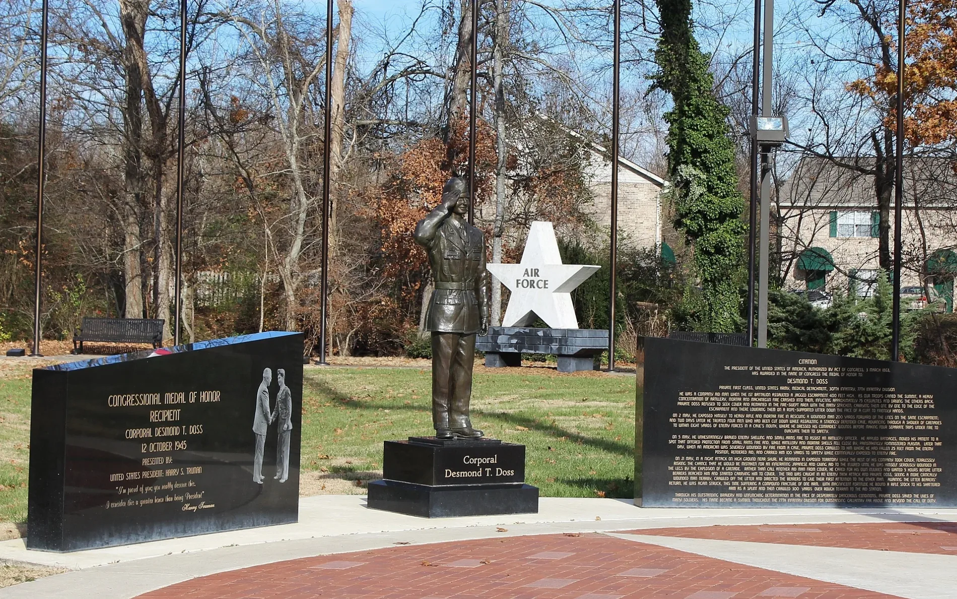
Veteran's Park0.4 mi
Places of worship nearby
Collegedale Community Church0.2 mi
Collegedale Korean Seventh-day Adventist Church0.2 mi
Playgrounds nearby
Imagination Station0.1 mi
Religious areas nearby
It Is Written0.2 mi
Residential areas nearby
Winding Creek0.4 mi
Retail buildings nearby
Dollar Store0.2 mi
Dry Mat0.2 mi
Schools nearby
Ooltewah Middle School0.5 mi
Wolftever Creek Elementary School0.6 mi
Sports fields nearby
Pickleball Courts350 ft
Ooltewah Baseball Field0.4 mi
Ooltewah Middle School's Baseball Field0.5 mi
Stadiums nearby
Ootlewah Middle School Football Field0.6 mi
Streams nearby
Wolftever Creek0.4 mi
Town halls nearby
Collegedale City Hall0.1 mi
Public transit map Collegedale Legend
| Railway | |
| Bus | |
| Streetcar |
Bicycle map Collegedale Legend
| Bike path | |
| Bike lane on roadway | |
| Cycling allowed on bus lane | |
| Bicycle street | |
| Open to cyclists | |
| Open to cyclists, good path | |
| Cycling prohibited | |
| Cobblestone |
| Long-distance bike route | (depending on scale) | |
| Long-distance bike route |
Pedestrian map Collegedale Legend
| Path |
| Long-distance hiking trail | (depending on scale) | |
| Long-distance hiking trail | ||
| Pedestrians prohibited |