
Church Street in Dickson, Tennessee
Church Street in Dickson is a secondary road (Road number SR 48 Alternate). It runs in a northeast-southwest direction starting from Cherry Street and crosses Cedar Street, East Cedar Street, Olive Street, East Rickert Avenue, East College Street, West College Street and Water Street and ends at Center Avenue. This street is part of the highway "48". Nearby there is among others an ice cream shop. Church Street also exists in White Bluff.
- Road Type
- secondary road
- Route
- northeast-southwest
Image
Ice cream shops
Streets nearby
Halliburton Way400 ft
Water Street500 ft
Frank Clement Place0.1 mi
Hamilton Alley0.1 mi
South Main StreetSpots Pots Pottery, House of Brews, Lugo's, Dickson Municipal Building
0.1 mi
Poplar Street0.1 mi
North Mulberry Street0.1 mi
Center AvenueThe Front Porch
0.2 mi
West Railroad Street0.2 mi
Herman Avenue0.2 mi
Bryan Avenue0.2 mi
North Charlotte StreetTraditions First Bank
0.2 mi
Murrell Street0.2 mi
West Rickert AvenueSaint James African Methodist Episcopal Church
0.2 mi
Masonic StreetTempest Tattoo
0.2 mi
North Main StreetFirst Presbyterian Church, First United Methodist Church, Zander's Woodfired Pizza
0.2 mi
Sylvis Street0.2 mi
Cullum Avenue0.2 mi
East Rickert Avenue0.3 mi
College Court0.3 mi
East College StreetHucks, Accent Smile Center
0.3 mi
West Hunt Street0.3 mi
Locke Drive0.3 mi
Academy StreetThe Frosty Jug
0.3 mi
East Railroad Street0.3 mi
Myatt Street0.3 mi
Wade AvenueSteam Engine
0.3 mi
Masoleum Drive0.3 mi
Paul Singleton Alley0.3 mi
Olive Street0.3 mi
Cemetery Drive0.3 mi
Clifton Park Drive0.3 mi
Park Drive0.3 mi
Spring Street0.4 mi
Cedar Street0.4 mi
East Cedar Street0.4 mi
East Hunt Street0.4 mi
West Cedar Street0.4 mi
Lockhart Street0.4 mi
McLemore Street0.4 mi
Buildings nearby
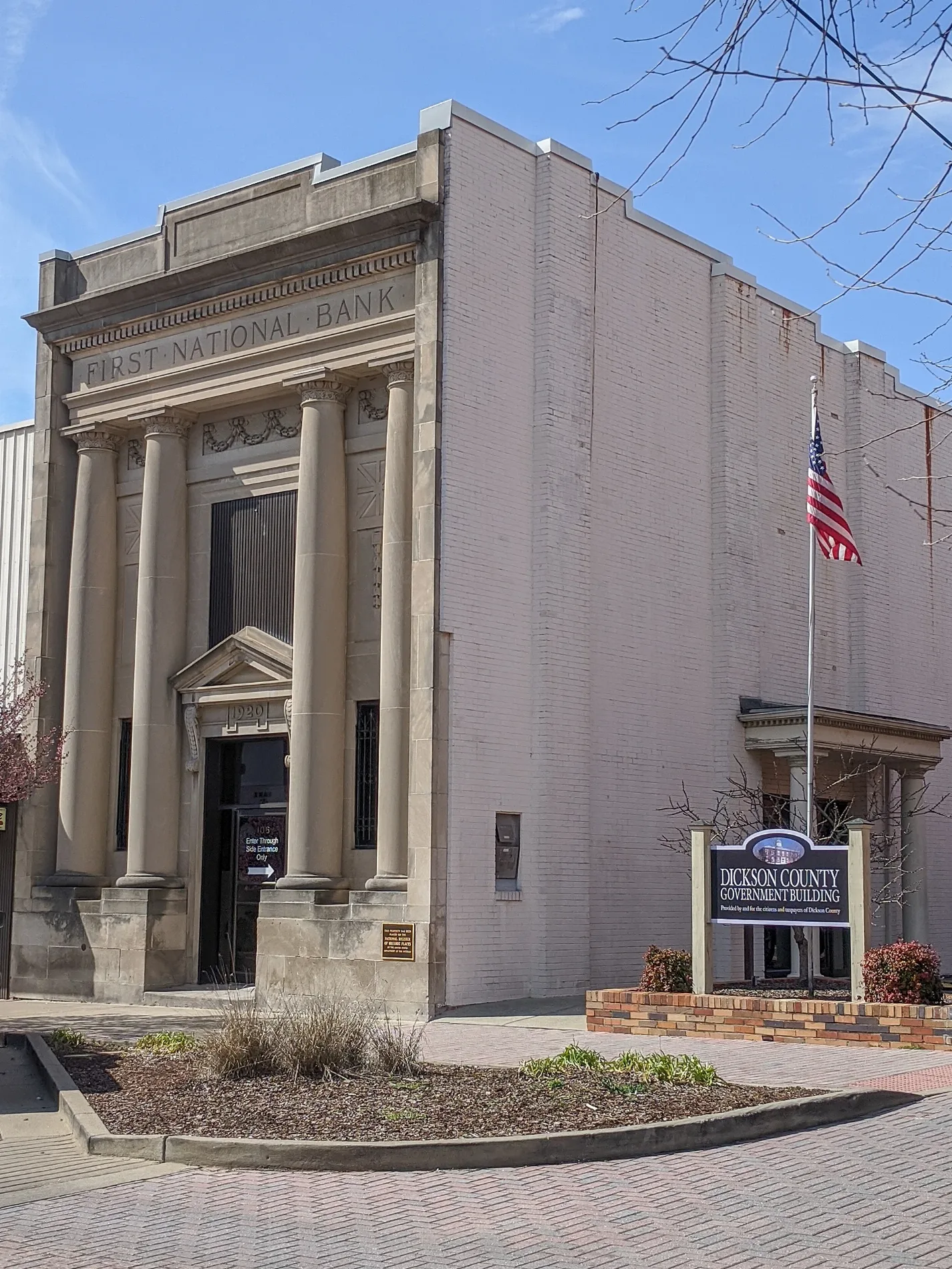
Dickson County Government Building550 ft
Bungee Fitness Factory0.2 mi
Fire stations nearby
Dickson Fire Department400 ft
Museums nearby
Clement Railroad Museum0.1 mi
Parks nearby
Waychoff Park250 ft
Holland Park0.1 mi
Nick's Concrete Wonderland0.1 mi
Railways nearby
CSX Bruceton Subdivision0.2 mi
Train stations nearby
Dickson Railway Station500 ft
Public transit map Dickson Legend
| Railway | |
| Bus | |
| Streetcar |
Bicycle map Dickson Legend
| Bike path | |
| Bike lane on roadway | |
| Cycling allowed on bus lane | |
| Bicycle street | |
| Open to cyclists | |
| Open to cyclists, good path | |
| Cycling prohibited | |
| Cobblestone |
| Long-distance bike route | (depending on scale) | |
| Long-distance bike route |
Pedestrian map Dickson Legend
| Path |
| Long-distance hiking trail | (depending on scale) | |
| Long-distance hiking trail | ||
| Pedestrians prohibited |