
Sequoyah Drive in Hendersonville, Tennessee
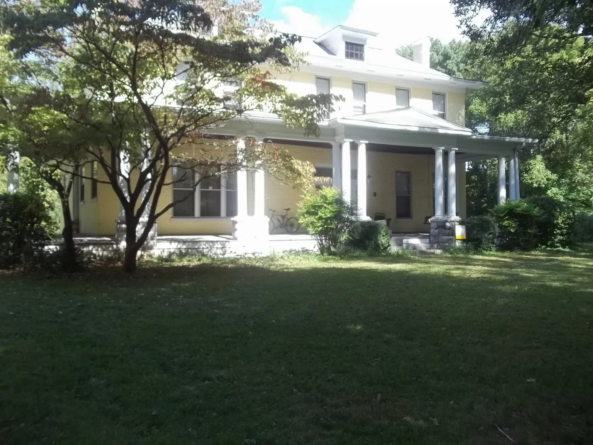
Sequoyah Drive in Hendersonville is a residential street. It runs in a northeast-southwest direction starting from Sequoyah Trail and crosses Berrywood Court, Martin Drive and Indian Lake Road and ends at Saratoga Boulevard. Sequoyah Drive also exists in Sequatchie County.
- Road Type
- residential street
- Route
- northeast-southwest
Image
Schools
Theaters
Town halls
Hardware stores
Charging stations
Fast food restaurants
Supermarkets
Supplement stores
Cemeteries
Auto parts stores
Restaurants
Places of worship
Dentist offices
Tire dealers
Furniture stores
Streets nearby
Martin Drive150 ft
Galway Lake South0.2 mi
Galway Lake North0.2 mi
Berrywood CourtTaylor Swift Auditorium
0.2 mi
Saratoga Boulevard0.2 mi
Crosby Drive0.2 mi
Chapel Court South0.2 mi
Indian Lake RoadHendersonville ROTC Compound, Indian Forest
0.2 mi
Chapel Court North0.2 mi
Coachman Place0.3 mi
Keene Valley South0.3 mi
Carriage Lane0.3 mi
Carriage Way0.3 mi
Keene Valley North0.3 mi
Hazel Path Court0.3 mi
Hazel Path0.3 mi
Sagamore Trace0.3 mi
Pin Oak Drive0.4 mi
Allen Court North0.4 mi
Sequoyah Trail0.4 mi
Saranac Trail0.4 mi
Chiroc Road0.4 mi
Allen Court South0.4 mi
Daniel Smith Drive0.4 mi
Hickory Hills Drive0.4 mi
Maple Row BoulevardSmile Construction Orthodontist
0.4 mi
Allen DriveMaple Row Estates
0.5 mi
Cherokee Road North0.5 mi
Eventide DriveSarah Berry Annex
0.5 mi
Trousdale Court0.5 mi
Trousdale Drive0.5 mi
Cherokee Road0.6 mi
Auto repair shops nearby
Firestone0.5 mi
Copy shops nearby
The UPS Store0.5 mi
Fast food restaurants nearby
Wendy's0.4 mi
Whataburger0.4 mi
Raising Cane's0.5 mi
Slim Chickens0.5 mi
Subway0.5 mi
Ice cream shops nearby
Baskin-Robbins0.5 mi
Parks nearby
Memorial Park0.4 mi
Pharmacies nearby
Walgreens0.4 mi
Places of worship nearby
First United Methodist0.4 mi
Restaurants nearby
Myers' Front Porch0.4 mi
Pizza Hut0.5 mi
School buildings nearby
Nannie Berry Elementary400 ft
Hendersonville High School0.1 mi
Ellis Middle School0.3 mi
Sports fields nearby
Hendersonville High School Football Stadium0.1 mi
Public transit map Hendersonville Legend
| Railway | |
| Bus | |
| Streetcar |
Bicycle map Hendersonville Legend
| Bike path | |
| Bike lane on roadway | |
| Cycling allowed on bus lane | |
| Bicycle street | |
| Open to cyclists | |
| Open to cyclists, good path | |
| Cycling prohibited | |
| Cobblestone |
| Long-distance bike route | (depending on scale) | |
| Long-distance bike route |
Pedestrian map Hendersonville Legend
| Path |
| Long-distance hiking trail | (depending on scale) | |
| Long-distance hiking trail | ||
| Pedestrians prohibited |