
Lincoln Avenue in Fort Worth, Texas
Lincoln Avenue in Fort Worth is a residential street. It runs in a north-south direction starting from Northwest 28th Street and crosses Northwest 26th Street, Northwest 25th Street, Northwest 24th Street, Northwest 23rd Street, Northwest 22nd Street, Northwest 21st Street, Northwest 20th Street, Park Street, Circle Park Avenue, Northwest 16th Street and Northwest 15th Street. Lincoln Avenue also exists in Travis County, Bexar County, Crosby County, Howard County and El Paso County.
- Road Type
- residential street
- Route
- north-south
Image
Schools
Gas stations
Places of worship
Attractions
Bus stops
Restaurants
Charging stations
Streets nearby
Northwest 15th Street400 ft
Denver Avenue0.1 mi
Circle Park Avenue0.2 mi
Circle Park Boulevard0.2 mi
Northwest 16th StreetCVS Pharmacy
0.2 mi
Lee Avenue0.2 mi
Northwest 14th Street0.2 mi
Clinton AvenueSpanish Church of the Nazarene, Peaceful Rest Baptist Church, Fort Worth American Indian Baptist Mission Church, Iglesia Manantial de Vida
0.2 mi
Gould Avenue0.3 mi
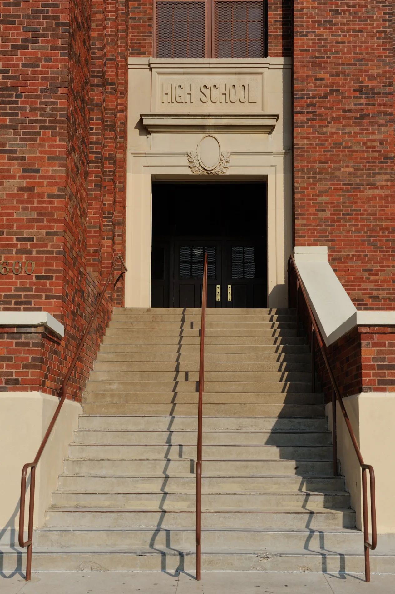
Park StreetTechnical High School, North Fort Worth High School
0.3 mi
Northwest 20th Street0.3 mi
Harrington Avenue0.3 mi
Central Avenue West0.3 mi
15th Place0.4 mi
Northwest 18th StreetIglesia Templo Jerusalem, Northside Community Center
0.4 mi
Robin Avenue0.4 mi
Prospect AvenueBenson Chapel Methodist Church
0.4 mi
Nabers Street0.4 mi
Ellis AvenueRose Hill Baptist Church
0.4 mi
West Northside DriveLa Trinidad Iglesia Methodista
0.4 mi
Bosque Avenue0.4 mi
Lagonda Avenue0.4 mi
Northeast 20th Street0.4 mi
North Main StreetMain & 21st, Lonesome Dove Western Bistro, Main & Exchange - 24th, Main & Exchange, Main & 29th, Heaven's Gate, QuikTrip, Main & 27th, Main & 26th - 27th, Main & 26th, Cattleman's Steak House, Main & 23rd
0.5 mi
Homan Avenue0.5 mi
Northwest 21st Street0.5 mi
Hill Place0.5 mi
Belmont Avenue0.5 mi
Grand Avenue0.5 mi
Jacksboro HighwayJacksboro HWY & University, Jacksboro HWY & Beverly Hills, Jacksboro HWY & Ohio Garden, Jacksboro HWY & Belle, Jacksboro HWY & Ephriham - Belle, Jacksboro HWY & Menefee, Jacksboro HWY & Capri, Jacksboro HWY & Long, Jacksboro HWY & Ephriham, Jacksboro HWY & 18th, Jacksboro HWY & Belle - Ephriham, Murphy Express, Jacksboro HWY & 21st, Jack in the Box, KFC, Panda Express, Jacksboro HWY & Fielder, Surfside Dr, FM 1886 / Confederate Park Road
0.6 mi
Oakwood Cemetery0.6 mi
North University Drive0.6 mi
Terrace Avenue0.6 mi
Auto repair shops nearby
Tricolor Transmission0.6 mi
Buildings nearby
Northside Adult Daycare Center0.3 mi
Northside Insurance Agency0.4 mi
Car dealerships nearby
Tricolor Auto0.6 mi
Community centers nearby
Northside Community Center0.5 mi
Fast food restaurants nearby
Dairy Queen0.4 mi
Gas stations nearby
Shell0.6 mi
Parks nearby
Circle Park0.2 mi
Marine Park0.4 mi
Arneson Park0.5 mi
Places of worship nearby
Primera Baptist Church350 ft
Iglesia Bautista Buenas Nuevas0.1 mi
Iglesia Evangelica Roca Fuerte0.4 mi
North Side Church of Christ0.4 mi
Restaurants nearby
Mariscos La Marea0.4 mi
Supermarkets nearby
Supermercado Monterrey0.4 mi
 Public transit map Fort Worth Legend
| Railway | |
| Bus | |
| Streetcar |
 Bicycle map Fort Worth Legend
| Bike path | |
| Bike lane on roadway | |
| Cycling allowed on bus lane | |
| Bicycle street | |
| Open to cyclists | |
| Open to cyclists, good path | |
| Cycling prohibited | |
| Cobblestone |
| Long-distance bike route | (depending on scale) | |
| Long-distance bike route |
 Pedestrian map Fort Worth Legend
| Path |
| Long-distance hiking trail | (depending on scale) | |
| Long-distance hiking trail | ||
| Pedestrians prohibited |