
Park Street in Fort Worth, Texas
Park Street in Fort Worth is a residential street. It runs in a northeast-southwest direction starting from Northwest 20th Street and crosses Lee Avenue, Lincoln Avenue, Gould Avenue, Denver Avenue, Lagonda Avenue, Harrington Avenue, Homan Avenue, Belmont Avenue, Highland Avenue, Grand Avenue and Circle Park Avenue. Nearby you can find 2 schools. The nearest bus stop is Main & 21st (about 650 m away). Park Street also exists in Lewisville.
- Road Type
- residential street
- Route
- northeast-southwest
Image
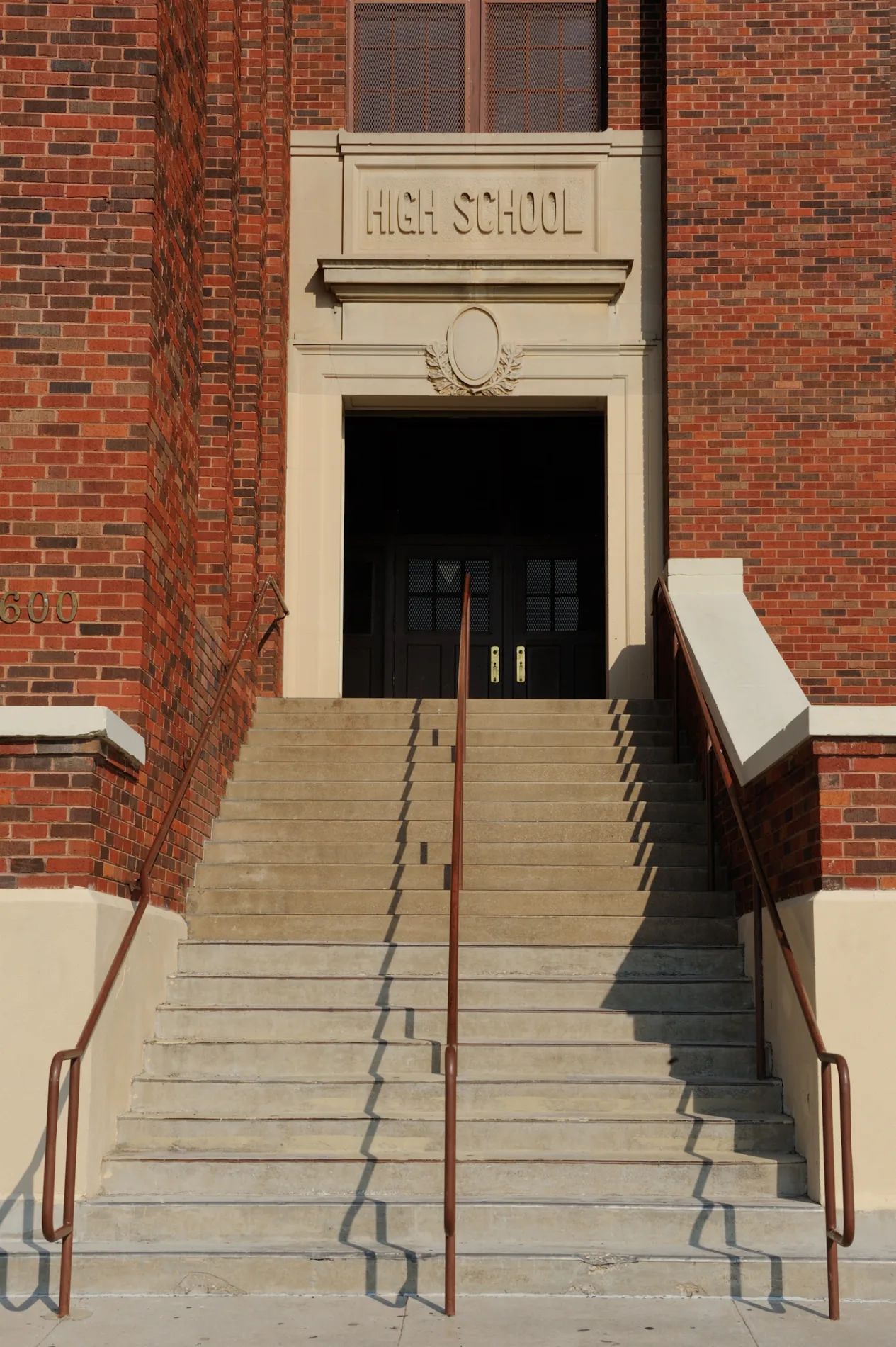
Schools
Streets nearby
Circle Park Avenue450 ft
Northwest 20th Street0.1 mi
Prospect AvenueBenson Chapel Methodist Church
0.1 mi
Lee Avenue0.1 mi
Gould Avenue0.2 mi
Northwest 18th StreetIglesia Templo Jerusalem, Northside Community Center
0.2 mi
Northwest 21st Street0.2 mi
Northwest 22nd StreetFirst Apostolic Church, Main & 22nd
0.3 mi
Lincoln Avenue0.3 mi
Northwest 16th StreetCVS Pharmacy
0.3 mi
Robin Avenue0.3 mi
Clinton AvenueSpanish Church of the Nazarene, Peaceful Rest Baptist Church, Fort Worth American Indian Baptist Mission Church, Iglesia Manantial de Vida
0.3 mi
Northwest 15th Street0.3 mi
Lagonda Avenue0.3 mi
Denver Avenue0.3 mi
Bosque Avenue0.4 mi
Pearl Avenue0.4 mi
Refugio Avenue0.4 mi
Ross AvenueSpanish Assemblies of God, Gospel Chapel Church of God in Christ
0.4 mi
Northwest 23rd StreetCristo Rompio Las Cadenas Mision Lutheran Church
0.4 mi
North Main StreetMain & 21st, Lonesome Dove Western Bistro, Main & Exchange - 24th, Main & Exchange, Main & 29th, Heaven's Gate, QuikTrip, Main & 27th, Main & 26th - 27th, Main & 26th, Cattleman's Steak House, Main & 23rd
0.4 mi
Circle Park Boulevard0.4 mi
Chestnut Avenue0.4 mi
Northeast 20th Street0.4 mi
Northwest 14th Street0.5 mi
Ellis AvenueRose Hill Baptist Church
0.5 mi
North Commerce StreetYummy Buffet, RadioShack, 5th & Commerce, San Jose School
0.5 mi
Harrington Avenue0.5 mi
Northeast 14th StreetM. G. Ellis
0.5 mi
15th Place0.6 mi
Northeast 21st Street0.6 mi
Northeast 22nd StreetJoe T Garcia's
0.6 mi
Central Avenue West0.6 mi
West Central Avenue0.6 mi
Buildings nearby
Northside Adult Daycare Center0.5 mi
Community centers nearby
Northside Community Center0.4 mi
Fast food restaurants nearby
Dairy Queen0.6 mi
Fire stations nearby
Station 120.4 mi
Hotels nearby
SpringHill Suites Fort Worth Historic Stockyards0.5 mi
Museums nearby
National Multicultural Western Heritage Museum and Hall of Fame0.4 mi
Parks nearby
Circle Park500 ft
Marine Park0.4 mi
North Side Park0.4 mi
Places of worship nearby
North Side Church of Christ0.2 mi
Iglesia Evangelica Roca Fuerte0.2 mi
Primera Baptist Church0.3 mi
Iglesia Pentecostal Misionera0.3 mi
Jesus Exaltado0.4 mi
Iglesia Bautista Buenas Nuevas0.4 mi
 Public transit map Fort Worth Legend
| Railway | |
| Bus | |
| Streetcar |
 Bicycle map Fort Worth Legend
| Bike path | |
| Bike lane on roadway | |
| Cycling allowed on bus lane | |
| Bicycle street | |
| Open to cyclists | |
| Open to cyclists, good path | |
| Cycling prohibited | |
| Cobblestone |
| Long-distance bike route | (depending on scale) | |
| Long-distance bike route |
 Pedestrian map Fort Worth Legend
| Path |
| Long-distance hiking trail | (depending on scale) | |
| Long-distance hiking trail | ||
| Pedestrians prohibited |