
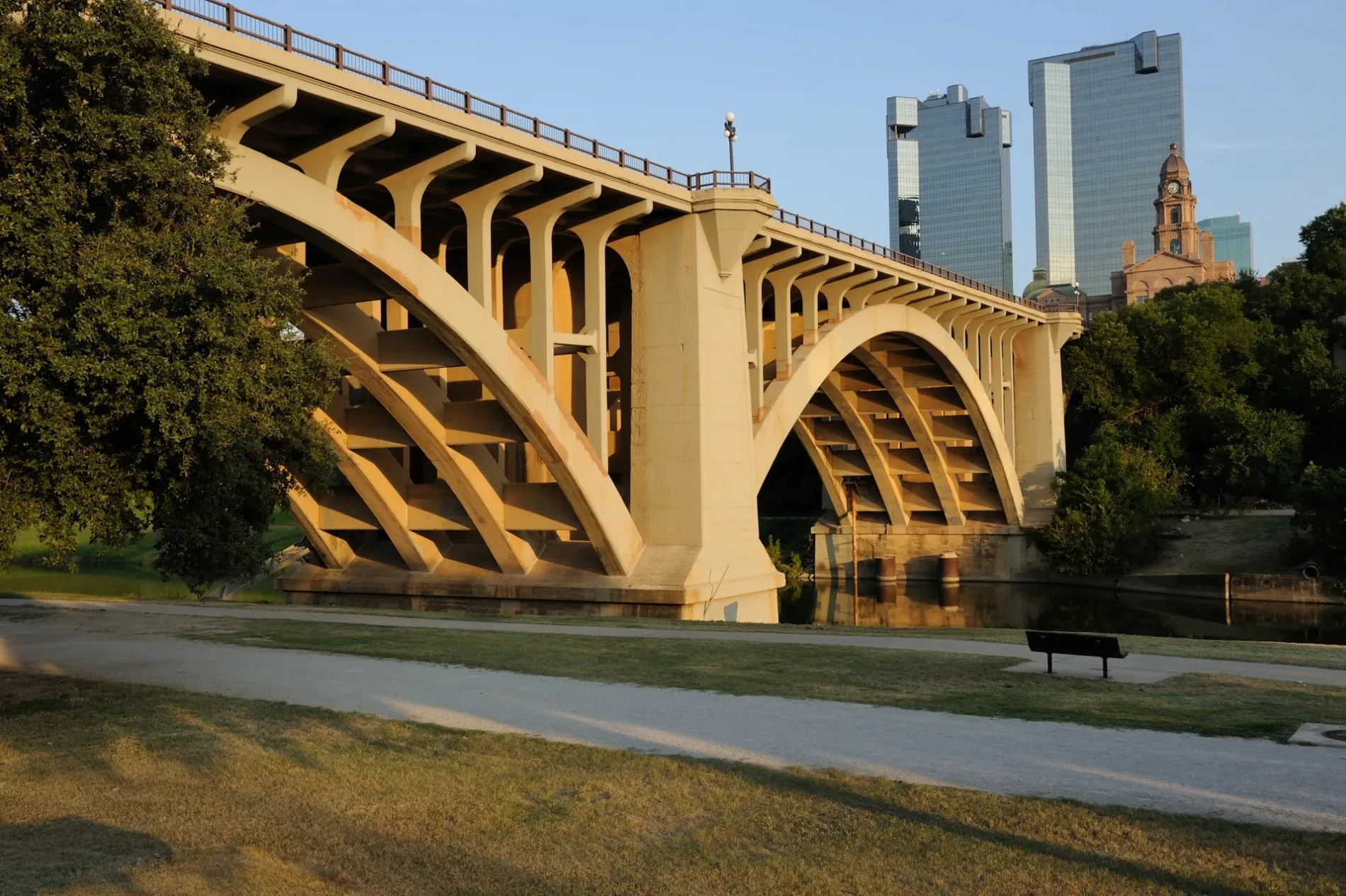
Main Street in Fort Worth, Texas
Main Street in Fort Worth is a concrete residential street. It runs in a southeast-northwest direction starting from West Weatherford Street and crosses East Weatherford Street, East 1st Street, West 1st Street, East 2nd Street, West 2nd Street and East 3rd Street and ends at West 3rd Street. This street is part of the highway "Former US 80 (TX 1931)". Nearby you can find among others 6 restaurants and an art gallery. The nearest stop is FlixBus Fort Worth. The bus lines 2221 and 2240 serve this stop. Main Street also exists in Aubrey, The Colony, Denton, Lewisville and Hickory Creek.
- Road Type
- residential street
- Route
- southeast-northwest
Image
Restaurants
Streets nearby
West 1st StreetVisiting Angels Senior Home Care Fort Worth
200 ft
West 2nd StreetWorthington Hotel
250 ft
East 1st StreetIglesia Pentecostes Cristo, True Light Baptist Church, Greater Saint James Baptist Church
350 ft
Houston StreetOmni Hotel - Bicycle rental, Houston & 14th, Omni Hotel, Houston & 11th, Houston & 12th, Hogan Alley, Bar 9, Al Dente Italian Trattoria, Houston & 8th - 9th, Houston & 9th, Houston & 4th - 5th, Houston & 2nd, Reata, Willow | House, Flowers to Go, UNO, Four Day Weekend, Loft, PACIUGO, Five Guys, White House Black Market, Fox & Hound, Houston & 6th - 7th
400 ft
Calhoun StreetCalhoun & 15th, Calhoun & 3rd
0.1 mi
East 2nd StreetCity Center - Bicycle rental, Upper West Cleaners
0.1 mi
Throckmorton StreetThrockmorton & 2nd - Weatherford, Throckmorton & 6th, Throckmorton & Belknap, Throckmorton & 11th - Jennings, Salsa Limon, Throckmorton & 4th, Barber’s Book Store, J's Burgers N' More, Winchester Tavern, Trinity Metro Bikes : Worthington -59-
0.1 mi
East Weatherford StreetWeatherford & Main - Bicycle rental
0.1 mi
West Belknap StreetTim Curry Criminal Justice Center, Belknap & Taylor - Bicycle rental, Belknap & Burnett, Fort Worth Police Dept Headquarters
0.1 mi
West 3rd StreetEtta's Place, Razzoo's Cajun Cafe, Jamba, Starbucks, Smith School, Fort Worth Central Library - Bicycle rental
0.1 mi
East 3rd StreetCity Place - Bicycle rental, Flying Saucer, Del Frisco's Grille, RadioShack
0.1 mi
North Calhoun StreetOne Belknap Courthouse
0.2 mi
Jones StreetEnterprise, Jones & 4th, Greyhound Station, Fort Worth Central, M, L, S6, S5, E, D, K, J, I, Valero, S2, S1, B, A, F, G, Subway, Trinity Metro Bikes : Central Station -51-, Fort Worth Intermodal Transportation Center, S4, S3, C, H
0.2 mi
North Houston StreetMount Carmel School, All Saints Catholic Church, Houston & Weatherford, North Side Transfer Center
0.2 mi
North Jones StreetTom Vandergriff Civil Courts Building
0.2 mi
North Main StreetMain & 21st, Lonesome Dove Western Bistro, Main & Exchange - 24th, Main & Exchange, Main & 29th, Heaven's Gate, QuikTrip, Main & 27th, Main & 26th - 27th, Main & 26th, Cattleman's Steak House, Main & 23rd
0.2 mi
East Belknap StreetBelknap & Samuels, Sonic
0.2 mi
Taylor Street0.2 mi
Franklin Street0.2 mi
North Lamar StreetTarrant County Plaza Building
0.2 mi
North Grove StreetSaint Marys Church, Northside Bible Fellowship Church
0.2 mi
East Bluff Street0.2 mi
North Taylor StreetPanther Island Pavilion - Bicycle rental
0.3 mi
Bars nearby
Fort Worth Live500 ft
Buildings nearby
Wells Fargo Tower250 ft
Knights of Pythias Building550 ft
Flying Saucer0.1 mi
Bank of America Tower0.1 mi
Land Title Block Building0.1 mi
Commercial buildings nearby
Commerce Building0.1 mi
The Westbrook0.1 mi
Courthouses nearby
Tarrant County Family Law Center550 ft
Tarrant County Courthouse0.1 mi
Criminal Courts Building0.2 mi
Hotels nearby
The Worthington Renaissance Fort Worth Hotel400 ft
Aloft Fort Worth Downtown0.2 mi
Movie theaters nearby
AMC Palace Theatre0.1 mi
Museums nearby
Sid Richardson Museum400 ft
Fire Station #1 (Historical)500 ft
Office buildings nearby
City Place Tower I0.2 mi
Parking lots nearby
Tarrant County Calhoun Street Parking0.1 mi
Sanger Lofts0.2 mi
Parks nearby
Sleeping Panther350 ft
Paddock Park0.1 mi
Nutt Lake Park0.2 mi
Playgrounds nearby
Montessori School Playground0.2 mi
Public buildings nearby
Tarrant County0.2 mi
Tarrant County Plaza Building0.2 mi
Restaurants nearby
Reata Restaurant0.1 mi
 Public transit map Fort Worth Legend
| Railway | |
| Bus | |
| Streetcar |
 Bicycle map Fort Worth Legend
| Bike path | |
| Bike lane on roadway | |
| Cycling allowed on bus lane | |
| Bicycle street | |
| Open to cyclists | |
| Open to cyclists, good path | |
| Cycling prohibited | |
| Cobblestone |
| Long-distance bike route | (depending on scale) | |
| Long-distance bike route |
 Pedestrian map Fort Worth Legend
| Path |
| Long-distance hiking trail | (depending on scale) | |
| Long-distance hiking trail | ||
| Pedestrians prohibited |