
East 15th Street in Georgetown, Texas
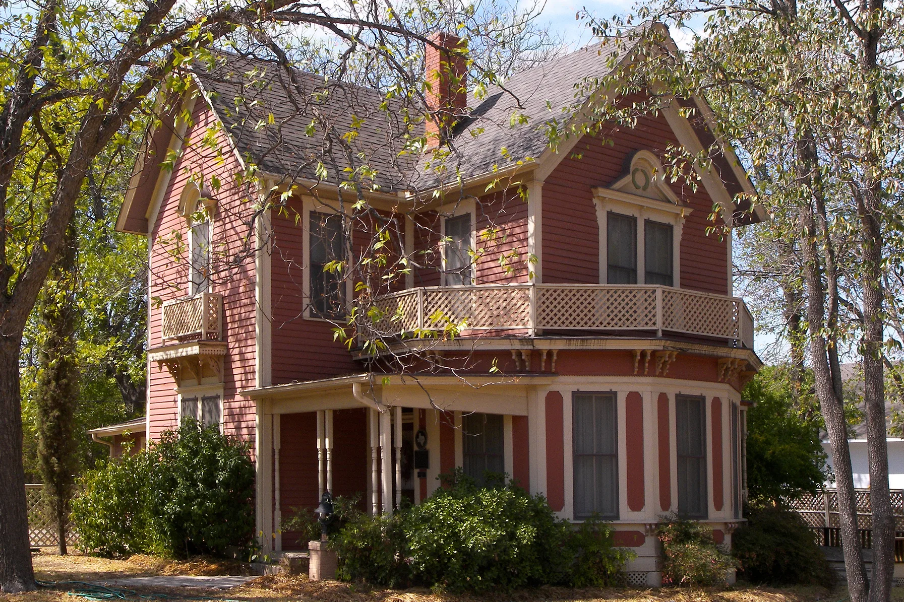
East 15th Street in Georgetown is a two-lane, asphalted residential street. It runs in an east-west direction starting from South Church Street and crosses South Myrtle Street, South Elm Street, South Ash Street, South College Street, South Walnut Street, South Pine Street, San Jose Street, Maple Street, Olive Street, Laurel Street and Vine Street. East 15th Street also exists in Travis County, Harris County, Fannin County, Medina County and Wheeler County.
- Road Type
- residential street
- Lanes
- 2
- Speed Limit
- 30 mph
- Route
- east-west
Image
Fast food restaurants
Dentist offices
Schools
ATMs
Bars
Banks
Hair salons
Restaurants
Laundries
Wine shops
Coffee shops
Guest houses
Drugstores
Veterinary clinics
Sewing supply stores
Bakeries
Cafes
Galleries
- Cordovan Art School @ Georgetown Art Center (opening hours: Tue–Sat 10–18; Sun 13–17, Web) at South Main Street 816 (78626). Art school. Hours are office hours. – approx. 0.6 mi.
Streets nearby
South Pine StreetPine Street Cottage
50 ft
16th Street350 ft
East 13th Street0.1 mi
South Walnut StreetGus's Drug Store
0.1 mi
San Jose Street0.1 mi
South College StreetSaving Grace Christian Bible Fellowship
0.1 mi
East 16th Street0.2 mi
Maple Street0.2 mi
East 17th Street0.2 mi
East 14th Street0.2 mi
Olive StreetSan Gabriel House Bed & Breakfast
0.2 mi
East 11th Street0.2 mi
East 18th Street0.2 mi
South Ash Street0.3 mi
Laurel Street0.3 mi
East 19th Street0.3 mi
Hogg Street0.3 mi
West Rutersville Road0.3 mi
Soule Drive0.3 mi
East 10th Street0.3 mi
East 20th Street0.3 mi
South Holly Street0.3 mi
James Street0.3 mi
East University AvenueOld Town Veterinary Hospital, Little Caesars, Smile Haus Modern Family Dentistry and Orthodontics, The Knitting Cup
0.3 mi
Apartment buildings nearby
Mid-Century Park0.1 mi
Buildings nearby
D. K. and Inez Wilcox House0.2 mi
Chesser-Morgan House0.2 mi
Central Chiller Plant0.3 mi
Churches nearby
Eric McKinney Christian Ministry Center0.2 mi
Gas stations nearby
Refuel0.2 mi
Houses nearby
Martin C. Amos House0.1 mi
Pegues House0.2 mi
S. A. Easley House0.2 mi
Wilcox-Graves House0.2 mi
A. W. Hawnen House0.2 mi
W C and Kate Vaden House0.2 mi
M B and Annie Lockett House0.2 mi
Parks nearby
San Jose Park0.1 mi
Police stations nearby
Old Field House (Campus Police)0.3 mi
Religious areas nearby
Prayer Labyrinth0.2 mi
Residential areas nearby
Alpine Apartments0.1 mi
School buildings nearby
Hammerlun Center for Leadership and Learning0.3 mi
Schools nearby
Annie Purl Elementary School0.3 mi
Sports fields nearby
Snyder Athletic Field0.3 mi
Robert K. Moses, Jr. Field0.3 mi
Technical colleges nearby
Roy and Lillie Cullen Building0.3 mi
Wilhelmina Cullen Admission Center0.3 mi
Fondren-Jones Science Hall0.3 mi
Mood-Bridwell Hall0.3 mi
 Public transit map Georgetown Legend
| Railway | |
| Bus | |
| Streetcar |
 Bicycle map Georgetown Legend
| Bike path | |
| Bike lane on roadway | |
| Cycling allowed on bus lane | |
| Bicycle street | |
| Open to cyclists | |
| Open to cyclists, good path | |
| Cycling prohibited | |
| Cobblestone |
| Long-distance bike route | (depending on scale) | |
| Long-distance bike route |
 Pedestrian map Georgetown Legend
| Path |
| Long-distance hiking trail | (depending on scale) | |
| Long-distance hiking trail | ||
| Pedestrians prohibited |