
South Pine Street in Georgetown, Texas
South Pine Street in Georgetown is a two-lane, asphalted residential street (also known as Pine Street). It runs in a north-south direction starting from East 7th Street and crosses East 8th Street, East 9th Street, East 9 1/2 Street, East 10th Street, East 11th Street, East University Avenue, East 13th Street, East 14th Street, East 15th Street, 16th Street and East 16th Street. South Pine Street is also known as Pine Street. Nearby there is a guest house. South Pine Street also exists in Harris County, Brazoria County, Frio County, Sherman County and Winkler County.
- Alternate Name
- Pine Street
- Road Type
- residential street
- Lanes
- 2
- Speed Limit
- 30 mph
- Route
- north-south
Image
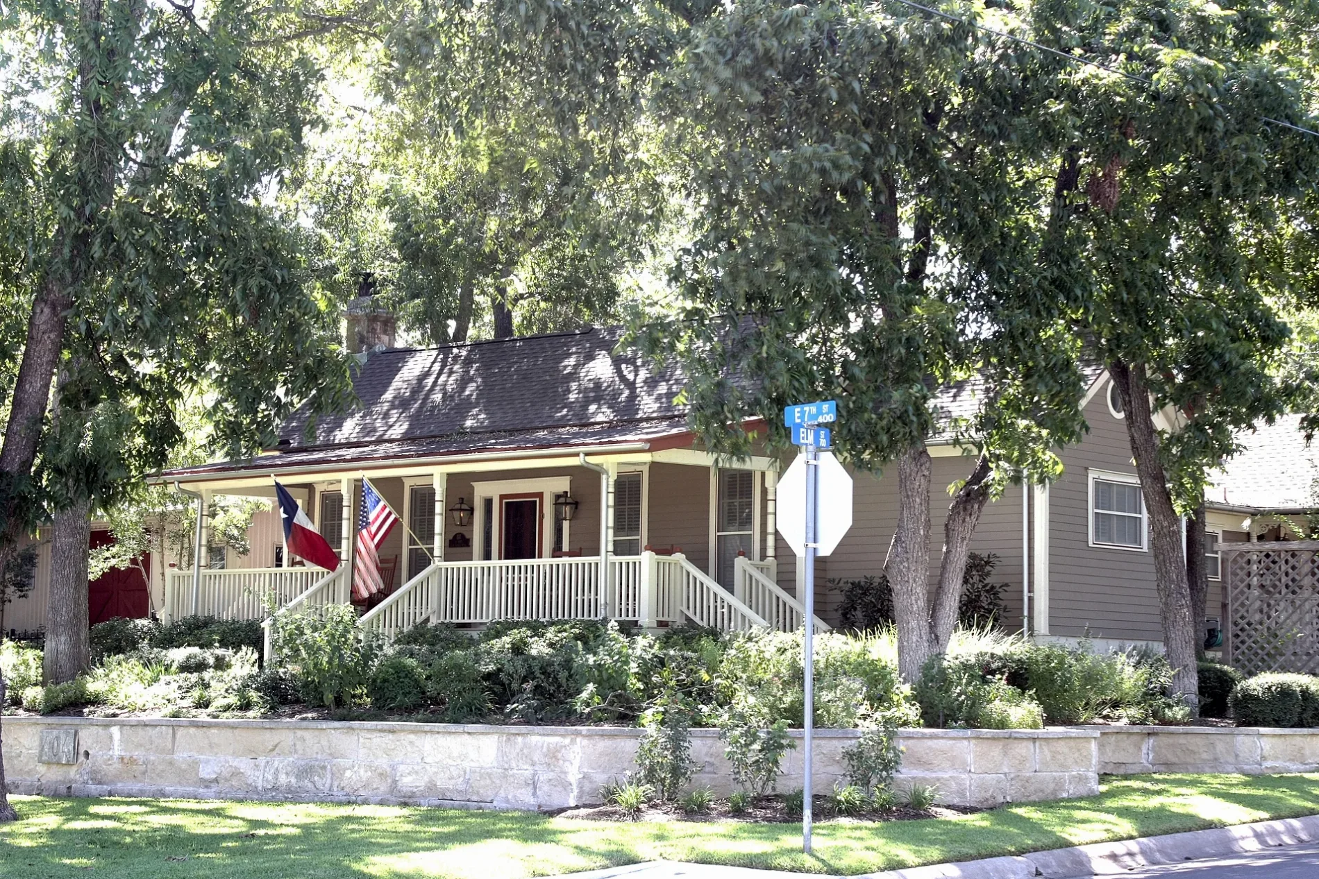
Guest houses
Streets nearby
East 9 1/2 Street300 ft
East 10th Street500 ft
East 9th Street500 ft
South College StreetSaving Grace Christian Bible Fellowship
0.1 mi
South Walnut StreetGus's Drug Store
0.1 mi
Maple Street0.1 mi
McKenzie Drive0.1 mi
East 11th Street0.1 mi
Wesleyan Drive0.2 mi
South Holly Street0.2 mi
Olive StreetSan Gabriel House Bed & Breakfast
0.2 mi
East 8th StreetGeorgetown Alternative Center, 600 Degrees Pizzeria and Drafthouse, City Barber Shop, La Riv Wood Fired Italian, Union Merchant
0.2 mi
Soule Drive0.2 mi
East 13th Street0.2 mi
West Rutersville Road0.3 mi
Laurel Street0.3 mi
East University AvenueOld Town Veterinary Hospital, Little Caesars, Smile Haus Modern Family Dentistry and Orthodontics, The Knitting Cup
0.3 mi
Apartment buildings nearby
Mid-Century Park0.3 mi
Buildings nearby
Central Chiller Plant0.2 mi
Chapels nearby
Lois Perkins Chapel0.3 mi
Dormitories nearby
Herman Brown Residence Hall0.1 mi
Moody-Shearn Residence Hall0.2 mi
Sharon Lord Caskey Community Center (including Sorority Chapter Rooms)0.2 mi
Charline Hamblin McCombs Residential Hall0.2 mi
Martin Ruter Residence Hall0.3 mi
Dorothy Manning Lord Residential Center0.3 mi
Gas stations nearby
Refuel0.2 mi
Houses nearby
W C and Kate Vaden House0.2 mi
M B and Annie Lockett House0.2 mi
Pegues House0.2 mi
Wilcox-Graves House0.2 mi
S. A. Easley House0.3 mi
Parks nearby
Roy H. Cullen Academic Mall0.3 mi
Police stations nearby
Old Field House (Campus Police)0.1 mi
Residential areas nearby
Alpine Apartments0.3 mi
School buildings nearby
Hammerlun Center for Leadership and Learning0.2 mi
Sports fields nearby
Robert K. Moses, Jr. Field0.1 mi
Snyder Athletic Field0.2 mi
Technical colleges nearby
Kappa Alpha House0.1 mi
Pi Kappa Alpha House0.1 mi
Kappa Sigma House0.2 mi
Phi Delta Theta House0.2 mi
Wilhelmina Cullen Admission Center0.2 mi
Mood-Bridwell Hall0.2 mi
Roy and Lillie Cullen Building0.2 mi
McCombs Campus Center0.2 mi
Fondren-Jones Science Hall0.3 mi
Frank A. Smith, Jr. Library Center0.3 mi
University buildings nearby
Alma Thomas Fine Arts Center0.3 mi
 Public transit map Georgetown Legend
| Railway | |
| Bus | |
| Streetcar |
 Bicycle map Georgetown Legend
| Bike path | |
| Bike lane on roadway | |
| Cycling allowed on bus lane | |
| Bicycle street | |
| Open to cyclists | |
| Open to cyclists, good path | |
| Cycling prohibited | |
| Cobblestone |
| Long-distance bike route | (depending on scale) | |
| Long-distance bike route |
 Pedestrian map Georgetown Legend
| Path |
| Long-distance hiking trail | (depending on scale) | |
| Long-distance hiking trail | ||
| Pedestrians prohibited |