
Brighton
Brighton is located in City of Holdfast Bay. About 3,564 people live here (as of 2016). Between 2016 and 2021, the population grew from 3,564 to 3,834. The region lies at 16 metres above sea level. Brighton has around 169 streets. The postal codes are 5048. Brighton is suburb of Adelaide, South Australia. Among other things, Brighton has public transport, restaurants, cafés, supermarkets, clothing stores, hairdressers and pharmacies.
Brighton – Facts
| Inhabitants | 3564 |
|---|---|
| Elevation | 16 m |
| Located in | South Australia, Holdfast Bay |
| Postal code | 5048 |
| Country | Australia |
Data source: Wikidata (CC0)
Photos from Brighton
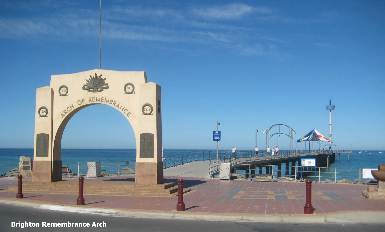
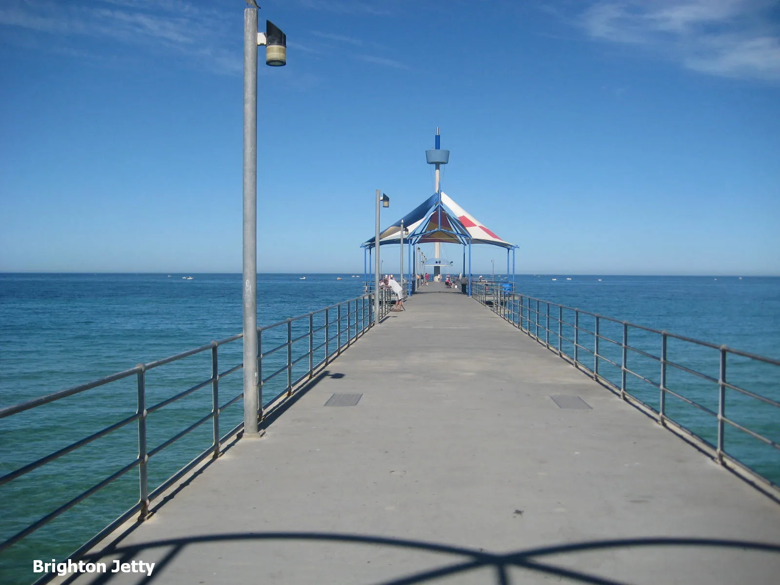
Roads in Brighton
Roads
Jetty Road
Esplanade Hotel, A Cafe Etc..., In Thais Cafe, Brighton Jetty Bakery, Chaps, Saigon Ơi, The Seller Door, The Alchemist's Kitchen, Copenhagen, Brighton Food & Wine, Big Shots Cafe and Bar, Jetty Babes, Lotus Lifestyle1, Beach Pit, Eva & Paige Emporium, Brighton Jetty Nail Bar & Beauty, Have You Met Charlie, Aqua Living, Get into the Moose, Alimentary Eatery, Stop 35B Jetty Road - North side, Stop 35B Jetty Road - South side, Stop 35A Jetty Road - North side, Stop 35A Jetty Road - South side
Brighton RoadCrust, Brighton UBET UBET (TAB), Hooked on Chicken and Grill, Zink The Element of Hair, Twisted Treats, Euphoria Hair, Fasta Pasta, Vinnies, Zambrero, Stop 35 Brighton Road - West side, Stop 36 Brighton Road - East side, The Boxing Room, Australia Post - Brighton 5048, Foodland, James Ramsey Manufacturing Jeweller, Bakers Delight, Force Electronics PTY Ltd., Brighton Barber Shop, Stop 37 Brighton Road - East side, Charminar
Cedar AvenueBrighton, Stop 35C Cedar Avenue - East side, Stop 35C Cedar Avenue - West side, Stop 36 Cedar Avenue - East side, Stop 36 Cedar Avenue - West side, Stop 36A Cedar Avenue - East side, Stop 36A Cedar Avenue - West side
Sturt RoadStop 34A Sturt Road - South side, Stop 34 Sturt Road - North side, Stop 34A Sturt Road - North side, Charlies Diner, Stop 35 Sturt Road - South side, Multiple Solutions, Stop 35 Sturt Road - North side
Rutland AvenueBrighton Fresh Seafoods, Blue Bird Bakery, Brighton City Meat, Kaz Hair, TerryWhite Chemmart, Cellarbrations
EsplanadeBrighton Takeaway, Kathleen (Kitty) Whyte, Gyre, Hang Loose, Æolian Harp
Gregory StreetHelloworld Travel, Bespoke Facial Body Clinic
Voules LaneNinja Sushi & Noodle Bar, Juniper and Pine
Gregory LaneBrighton Crash
Twinings LaneSt Louis Gelateria
Hahn laneBrighton Veterinary Hospital
ExpressLiquorland
Lewis StreetBuns on Brighton
Cambridge Terrace
King George Avenue
The Crescent
Oraston Avenue
Gratton Street
Alfreda Street
Keelara Street
Elm Street
Coventry Street
Browse
Dunluce Avenue
Linwood Terrace
Preston Avenue
Park Crescent
Tarcoola Street
King Street
Trevelion Avenue
Torr Avenue
Cavender Court
Essex Street
Roberts Street
Wahroonga Avenue
Athelney Avenue
Almond Grove
Curnow Street
Marlborough Street
Seymour Grove
Comley Street
Strathmore Terrace
Beach Road
Swan Street
Nash Street
Sexton Road
Yester Avenue
Seaview Terrace
Edwards Street
Voules Street
Commercial RoadArtwork
Buildings
Cemeteries
Cinemas
Convenience stores
Dry cleaner's
Fitness centres
Florist's
Kindergartens
Off-licences
Petrol stations
Places of worship
School buildings
Sports pitches
Supermarkets
Tyre shops
Public transport map Brighton Legend
| Railway | |
| Bus | |
| Tram |
Cycling map Brighton Legend
| Cycle path | |
| Cycle lane on road | |
| Cycling on bus lane | |
| Bicycle street | |
| Cyclists allowed | |
| Cyclists allowed, good surface | |
| No cycling | |
| Cobblestones |
| Long-distance cycle route | (depending on scale) | |
| Long-distance cycle route |
Walking map Brighton Legend
| Path |
| Long-distance hiking trail | (depending on scale) | |
| Long-distance hiking trail | ||
| No pedestrians |