
Jetty Road in Brighton
Jetty Road in City of Holdfast Bay is a two-lane, asphalted, lit tertiary road (60 km/h). The road has parking spaces. It runs in an east-west direction and crosses Twinings Lane, Gurrs Road, Elm Street, Cedar Avenue, The Crescent, Commercial Road, Torr Avenue and Wenlock Street and ends at Brighton Road, while the other end is a cul-de-sac. In the vicinity, you can find among other things 7 cafés, 3 clothing shops, 2 restaurants and 2 gift shops. The nearest bus stop in the vicinity is Stop 35C Cedar Avenue - West side (approx. 300 m away).
- Road Type
- tertiary road
- Speed Limit
- 60
- Lanes
- 2
- Route
- east-west
Image
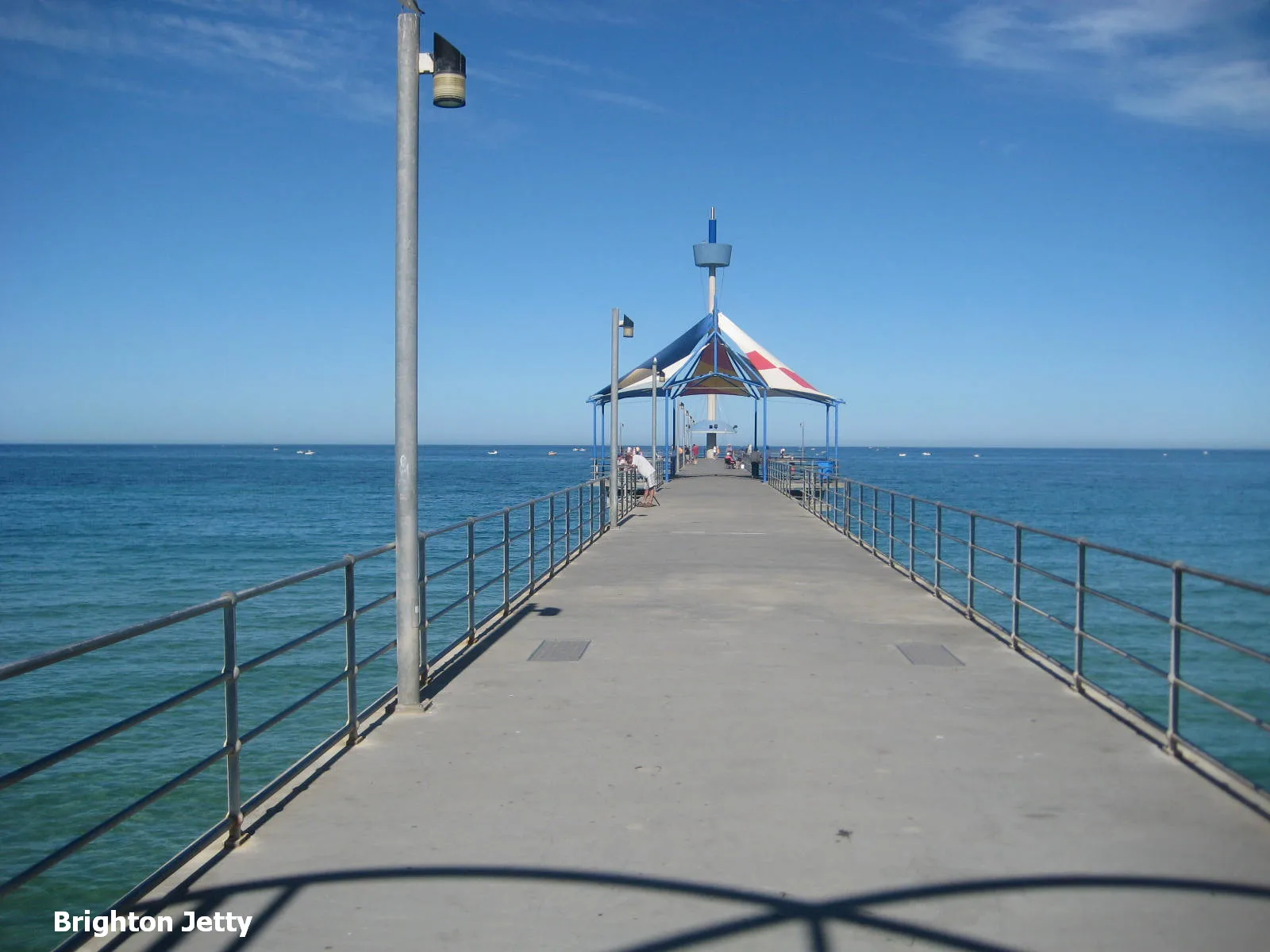
Clothing shops
Gift shops
Ice cream parlours
Cafés
Bakeries
Toy shops
Roads nearby
Twinings LaneSt Louis Gelateria
100 m
Gurrs Road100 m
Bindarra Road150 m
Elm Lane150 m
Dunluce Avenue150 m
Curnow Street200 m
Cavender Court200 m
Yester Avenue250 m
Elm Street250 m
Indra Terrace250 m
Beach Road300 m
The Crescent350 m
Sandhurst Court350 m
Athelney Avenue350 m
Alfreda Street400 m
Cambridge Terrace400 m
King Street400 m
Linwood Terrace450 m
Cedar AvenueBrighton, Stop 35C Cedar Avenue - East side, Stop 35C Cedar Avenue - West side, Stop 36 Cedar Avenue - East side, Stop 36 Cedar Avenue - West side, Stop 36A Cedar Avenue - East side, Stop 36A Cedar Avenue - West side
450 m
King George Avenue450 m
Mawson Close450 m
Smith Avenue550 m
Ivanhoe Avenue600 m
Laurence Barnham Court650 m
Waverley Terrace650 m
Mannering Avenue650 m
Bellevue Terrace650 m
Grevillea Court750 m
Wattle AvenueStop 33 Wattle Avenue - East side, Stop 33 Wattle Avenue - South side, Stop 33A Wattle Avenue - North side, Stop 33A Wattle Avenue - South side
750 m
Hakea Court800 m
Banksia Court800 m
Esplanade850 m
Anthoney Court850 m
Hulbert Street850 m
Pearce Street900 m
Cross Street950 m
Artwork nearby
Sky Lines250 m
Buildings nearby
Brighton Surf Life Saving Club200 m
Cinemas nearby
Windsor Theatres400 m
Civic buildings nearby
City of Holdfast Bay - Brighton Civic Centre400 m
Libraries nearby
Brighton Library - City of Holdfast Bay450 m
Off-licences nearby
BWS50 m
Parks nearby
Bindarra Reserve150 m
Wattle Reserve900 m
Places of worship nearby
Lighthouse Community Church300 m
Trinity Bay600 m
Railway lines nearby
Seaford Line450 m
Residential areas nearby
Townsend Park Retirement Lifestyle Estate750 m
Sports pitches nearby
Brighton Pump Track350 m
Public transport map Brighton Legend
| Railway | |
| Bus | |
| Tram |
Cycling map Brighton Legend
| Cycle path | |
| Cycle lane on road | |
| Cycling on bus lane | |
| Bicycle street | |
| Cyclists allowed | |
| Cyclists allowed, good surface | |
| No cycling | |
| Cobblestones |
| Long-distance cycle route | (depending on scale) | |
| Long-distance cycle route |
Walking map Brighton Legend
| Path |
| Long-distance hiking trail | (depending on scale) | |
| Long-distance hiking trail | ||
| No pedestrians |