
Yester Avenue in Brighton
Yester Avenue in City of Holdfast Bay is an asphalted residential street and it runs in an east-west direction starting from Indra Terrace and ends at Athelney Avenue.
- Road Type
- residential street
- Route
- east-west
Image
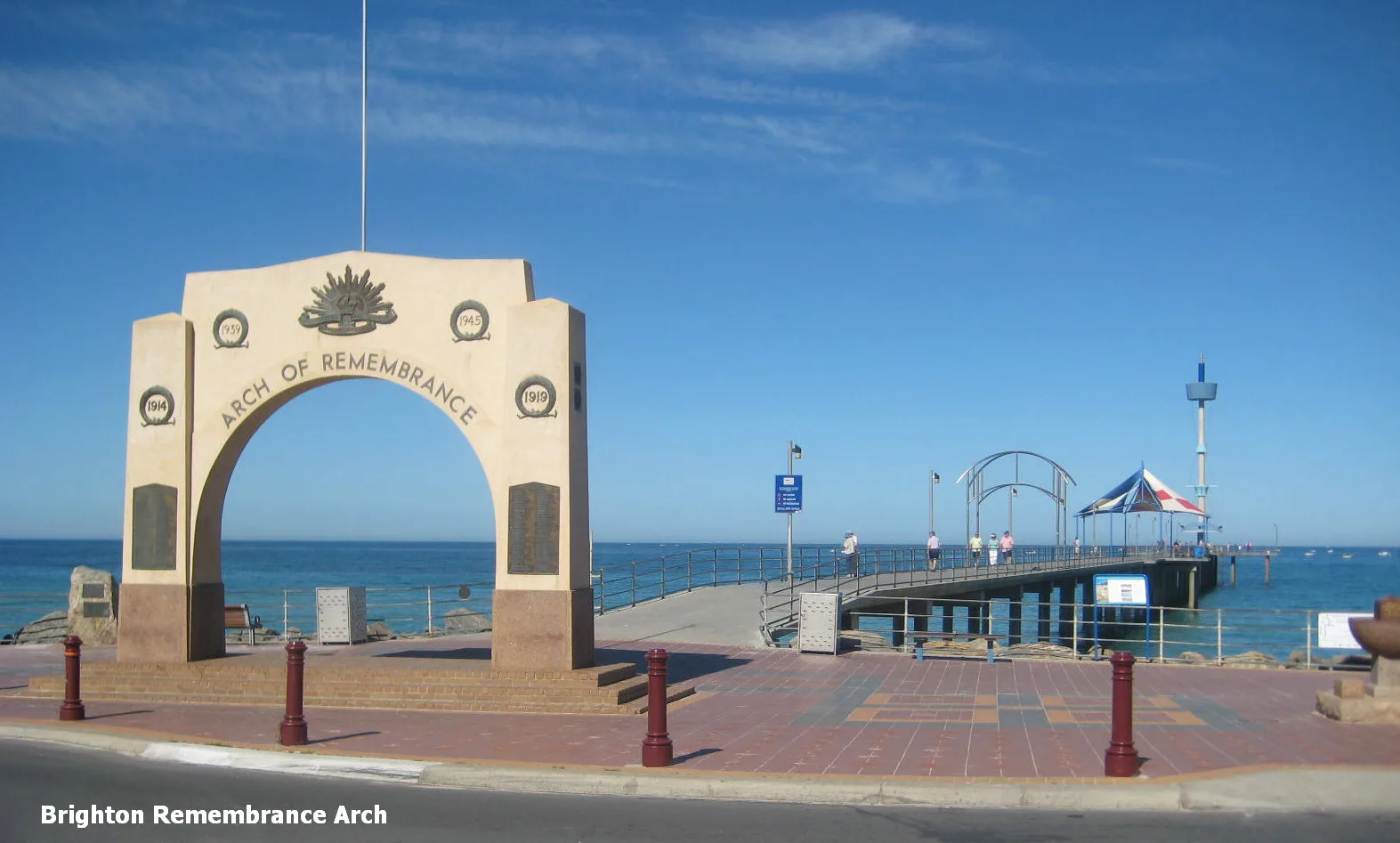
Artwork
Ice cream parlours
Toy shops
Fast food restaurants
Cafés
Pubs
Beauty salons
Clothing shops
Restaurants
Gift shops
Hairdressers
Bakeries
Roads nearby
Dunluce Avenue100 m
Indra Terrace100 m
Sandhurst Court150 m
Gurrs Road150 m
Athelney Avenue200 m
Alfreda Street200 m
Jetty RoadEsplanade Hotel, A Cafe Etc..., In Thais Cafe, Brighton Jetty Bakery, Chaps, Saigon Ơi, The Seller Door, The Alchemist's Kitchen, Copenhagen, Brighton Food & Wine, Big Shots Cafe and Bar, Jetty Babes, Lotus Lifestyle1, Beach Pit, Eva & Paige Emporium, Brighton Jetty Nail Bar & Beauty, Have You Met Charlie, Aqua Living, Get into the Moose, Alimentary Eatery, Stop 35B Jetty Road - North side, Stop 35B Jetty Road - South side, Stop 35A Jetty Road - North side, Stop 35A Jetty Road - South side
250 m
King Street250 m
Mawson Close250 m
Linwood Terrace300 m
Twinings LaneSt Louis Gelateria
300 m
Elm Lane300 m
Bindarra Road350 m
The Crescent350 m
King George Avenue350 m
Curnow Street350 m
Cavender Court400 m
Smith Avenue400 m
Elm Street400 m
Ivanhoe Avenue450 m
Waverley Terrace450 m
Laurence Barnham Court450 m
Mannering Avenue450 m
Beach Road450 m
Bellevue Terrace500 m
Grevillea Court550 m
Wattle AvenueStop 33 Wattle Avenue - East side, Stop 33 Wattle Avenue - South side, Stop 33A Wattle Avenue - North side, Stop 33A Wattle Avenue - South side
550 m
Hakea Court600 m
Cambridge Terrace600 m
Cedar AvenueBrighton, Stop 35C Cedar Avenue - East side, Stop 35C Cedar Avenue - West side, Stop 36 Cedar Avenue - East side, Stop 36 Cedar Avenue - West side, Stop 36A Cedar Avenue - East side, Stop 36A Cedar Avenue - West side
600 m
Banksia Court600 m
Esplanade650 m
Anthoney Court650 m
Hulbert Street650 m
Pearce Street700 m
Cross Street750 m
Artwork nearby
Sky Lines350 m
Buildings nearby
Brighton Surf Life Saving Club400 m
Cinemas nearby
Windsor Theatres450 m
Civic buildings nearby
City of Holdfast Bay - Brighton Civic Centre400 m
Libraries nearby
Brighton Library - City of Holdfast Bay450 m
Off-licences nearby
BWS200 m
Parks nearby
Bindarra Reserve350 m
Wattle Reserve700 m
Places of worship nearby
Lighthouse Community Church350 m
Trinity Bay450 m
Railway lines nearby
Seaford Line600 m
Residential areas nearby
Townsend Park Retirement Lifestyle Estate600 m
Sports pitches nearby
Brighton Pump Track450 m
Public transport map Brighton Legend
| Railway | |
| Bus | |
| Tram |
Cycling map Brighton Legend
| Cycle path | |
| Cycle lane on road | |
| Cycling on bus lane | |
| Bicycle street | |
| Cyclists allowed | |
| Cyclists allowed, good surface | |
| No cycling | |
| Cobblestones |
| Long-distance cycle route | (depending on scale) | |
| Long-distance cycle route |
Walking map Brighton Legend
| Path |
| Long-distance hiking trail | (depending on scale) | |
| Long-distance hiking trail | ||
| No pedestrians |