
Cotswold Road in London Borough of Sutton
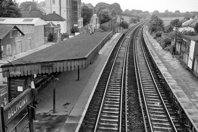
Cotswold Road in London Borough of Sutton is a lit secondary road. It runs in a north-south direction starting from Brighton Road and crosses Chiltern Road, Baron Close, Pelton Avenue, Bicknoller Close and Downs Road. In the vicinity, there is among other things a post box. The nearest stops are Downs Road / Belmont Station and Sutton Hospital. The bus lines 80, 420, 820 and S1 serve this stop. Cotswold Road also exists in London Borough of Richmond upon Thames and London Borough of Havering.
- Road Type
- secondary road
- Route
- north-south
Image
Roads nearby
Chiltern RoadHail & Ride Sutton Hospital, Hail & Ride Chiltern Road
50 m
Chale Walk100 m
Maple Walk100 m
Rookley Close100 m
Nettlecombe Close100 m
The Chilterns150 m
Bassett Close150 m
Westover Close150 m
Porchfield Close150 m
Hulverstone Close150 m
Dunsbury Close150 m
Yarbridge Close200 m
Autumn Drive200 m
Gatton Close200 m
Mottistone Grove250 m
Dillon Court250 m
Basildon Close250 m
Hulverston Close250 m
Knockholt Close250 m
Brasted Close300 m
Toll Bar Court300 m
Homeland Drive350 m
Felbridge Close350 m
Heath Drive350 m
Baron Close350 m
Carew Court350 m
Basinghall Gardens350 m
Pelton AvenueBelmont Station / Brighton Road
400 m
Bicknoller Close500 m
Downs RoadBelmont Station, Royal Marsden Hospital / Downs Road, Downs Road / Banstead Road South
500 m
Clifton Avenue550 m
Amenities nearby
Play House Day Nursery500 m
Buildings nearby
Sutton Lodge Day Centre250 m
The Willows250 m
E Block450 m
Hospitals nearby
A Block (closed)250 m
B Block (closed)250 m
Cotswold Hse300 m
Malvern Centre350 m
The Ups Club400 m
Sycamore House (D Block)400 m
Maggie's400 m
Orchard House450 m
McElwain Labs450 m
Children's & Teenage Cancer Centre500 m
Pubs nearby
The California450 m
Railway lines nearby
Epsom Downs Branch350 m
Retail buildings nearby
Chiltern Health Centre300 m
Schools nearby
Harris Academy Sutton200 m
 Public transport map London Borough of Sutton Legend
| Railway | |
| Bus | |
| Tram |
 Cycling map London Borough of Sutton Legend
| Cycle path | |
| Cycle lane on road | |
| Cycling on bus lane | |
| Bicycle street | |
| Cyclists allowed | |
| Cyclists allowed, good surface | |
| No cycling | |
| Cobblestones |
| Long-distance cycle route | (depending on scale) | |
| Long-distance cycle route |
 Walking map London Borough of Sutton Legend
| Path |
| Long-distance hiking trail | (depending on scale) | |
| Long-distance hiking trail | ||
| No pedestrians |