
Porchfield Close in London Borough of Sutton
Porchfield Close in London Borough of Sutton is a residential street and it crosses Yarbridge Close and comes from Hulverstone Close.
- Road Type
- residential street
Image
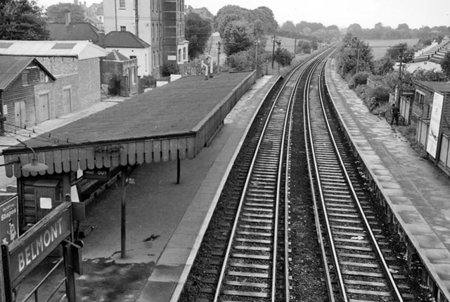
Platforms
Stations
Restaurants
Bus stops
Hairdressers
Post boxes
Doctor's office
Dry cleaner's
Roads nearby
Yarbridge Close100 m
Brighton RoadSutton Hospital, Sutton Station, Il Toscano, Delight, The Friendly Dolphin, Spaghetti Tree, Brighton Road / Cavendish Road, BP, Devonshire Avenue, Egmont Road, Gatton Close, Belmont Station / Brighton Road, Anthony's, Sutton
100 m
Hulverston Close150 m
Maple Walk150 m
Rookley Close150 m
Cotswold RoadDowns Road / Belmont Station, Sutton Hospital
150 m
Chiltern RoadHail & Ride Sutton Hospital, Hail & Ride Chiltern Road
150 m
Chale Walk150 m
Knockholt Close200 m
Brasted Close200 m
Autumn Drive200 m
Westover Close250 m
Nettlecombe Close250 m
Bassett Close250 m
Baron Close250 m
The Chilterns250 m
Dunsbury Close250 m
Pelton AvenueBelmont Station / Brighton Road
300 m
Hulverstone Close350 m
Mottistone Grove350 m
Gatton Close350 m
Dillon Court400 m
Downs RoadBelmont Station, Downs Road / Banstead Road South
400 m
Bicknoller Close400 m
Basildon Close450 m
Toll Bar Court450 m
Felbridge Close450 m
Heath Drive450 m
Carew Court450 m
Basinghall Gardens450 m
Clifton Avenue500 m
Amenities nearby
Play House Day Nursery450 m
Apartment buildings nearby
California Court400 m
Buildings nearby
The Willows200 m
Sutton Lodge Day Centre400 m
E Block450 m
Hospitals nearby
A Block (closed)200 m
B Block (closed)250 m
Cotswold Hse300 m
Maggie's350 m
Sycamore House (D Block)350 m
Malvern Centre400 m
The Ups Club400 m
McElwain Labs400 m
Children's & Teenage Cancer Centre450 m
Orchard House450 m
Pubs nearby
The California350 m
Retail buildings nearby
Chiltern Health Centre400 m
Schools nearby
Harris Academy Sutton200 m
Public transport map London Borough of Sutton Legend
| Railway | |
| Bus | |
| Tram |
Cycling map London Borough of Sutton Legend
| Cycle path | |
| Cycle lane on road | |
| Cycling on bus lane | |
| Bicycle street | |
| Cyclists allowed | |
| Cyclists allowed, good surface | |
| No cycling | |
| Cobblestones |
| Long-distance cycle route | (depending on scale) | |
| Long-distance cycle route |
Walking map London Borough of Sutton Legend
| Path |
| Long-distance hiking trail | (depending on scale) | |
| Long-distance hiking trail | ||
| No pedestrians |