
FP217 in London Borough of Bexley
FP217 in London Borough of Bexley is a footpath (trail number 217) and it runs in a northeast-southwest direction starting from Normandy Way and ends at Mendip Road.
- Road Type
- footpath
- Route
- northeast-southwest
Image
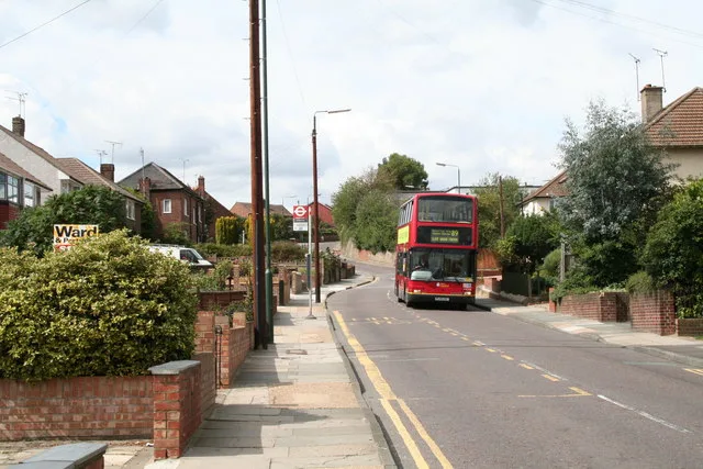
Bus stops
Roads nearby
Normandy Way50 m
Mendip Road100 m
Swallow Close100 m
Brendon Close150 m
Pennine Way150 m
Hurstwood Avenue200 m
Colyers LaneMyrtle Close, Colyers Walk, Northumberland Way, Barnehurst Avenue, Hurst Road
200 m
Chiltern Close200 m
FP218200 m
Cheviot Close200 m
Cotswold Close200 m
Elmstead Road250 m
Cumbrian Avenue250 m
Doyle Close300 m
Colyers Walk, FP219300 m
Halstead Road300 m
Quantock Road300 m
Birling Road300 m
Drummond Close300 m
Highstead Crescent350 m
Largo Walk350 m
Wessex Drive350 m
Myrtle Close350 m
Selkirk Drive350 m
Brasted Road350 m
Chipstead Road350 m
Defoe Close350 m
Edendale Road400 m
Hemsted Road400 m
Downbank Avenue450 m
Venners Close450 m
Stuart Mantle Way450 m
Peartree Close450 m
Stuart Mantle Rise500 m
Northumberland Way500 m
Chesworth Close500 m
Stelling Road500 m
Ranworth Close500 m
Castleton Avenue500 m
Eversley Avenue500 m
Colyers Close500 m
FP33550 m
Eversley Cross600 m
Beechcroft Avenue600 m
Fairford Avenue600 m
Parkside Cross600 m
Appledore Avenue650 m
 Public transport map London Borough of Bexley Legend
| Railway | |
| Bus | |
| Tram |
 Cycling map London Borough of Bexley Legend
| Cycle path | |
| Cycle lane on road | |
| Cycling on bus lane | |
| Bicycle street | |
| Cyclists allowed | |
| Cyclists allowed, good surface | |
| No cycling | |
| Cobblestones |
| Long-distance cycle route | (depending on scale) | |
| Long-distance cycle route |
 Walking map London Borough of Bexley Legend
| Path |
| Long-distance hiking trail | (depending on scale) | |
| Long-distance hiking trail | ||
| No pedestrians |