
Defoe Close in London Borough of Bexley
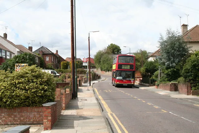
Defoe Close in London Borough of Bexley is a residential street and it runs in an east-west direction starting from Selkirk Drive and ends in a cul-de-sac. Defoe Close also exists in London Borough of Merton and London Borough of Southwark.
- Road Type
- residential street
- Route
- east-west
Image
Fast food restaurants
Convenience stores
Bus stops
Roads nearby
Selkirk Drive50 m
Largo Walk50 m
Drummond Close100 m
Doyle Close100 m
Myrtle Close150 m
Northend RoadPeareswood Road, Eversley Avenue, Mr Chippy, Northend Mini Market, Daysol Pharmacy, Parkside Restaurant & Cafe, Kebab Side, Northend Road / Colyers Lane, Bridge Road
250 m
Hurstwood Avenue250 m
Cloudesley Road250 m
Brendon Close250 m
Scott Crescent300 m
Newbery Road300 m
Wessex Drive300 m
Chipstead Road300 m
Maple Court350 m
Burns Close350 m
Chiltern Close350 m
Callender Road350 m
Normandy Way350 m
Halstead Road350 m
Peareswood Road350 m
FP217350 m
The Nursery350 m
Cumbrian Avenue400 m
Quantock Road400 m
Colyers LaneMyrtle Close, Colyers Walk, Northumberland Way, Barnehurst Avenue, Hurst Road
400 m
FP218400 m
Mendip Road400 m
North End Road400 m
Barnett Close400 m
Chesworth Close400 m
Craydene Road450 m
Cotswold Close450 m
Pennine Way450 m
Bridge RoadMasefield Close, Bridge Road / Whitehall Lane, Bridge Road / Slade Green Road, Slade Green, Bridge Road / Northend Road, Bexleyheath
450 m
Cheviot Close500 m
Masefield Close500 m
Ranworth Close500 m
Whitehall LaneSlade Green, Whitehall Lane / Slade Green Station, Dale View, Whitehall Lane / Bridge Road, North End
500 m
Venners Close550 m
Lincoln Close550 m
Eversley Avenue550 m
Eversley Cross600 m
Dale View600 m
Lincoln Road600 m
Ely Close650 m
Apartment buildings nearby
Orchard House150 m
Convenience stores nearby
Shell Select400 m
Railway lines nearby
Bexleyheath Line650 m
Sheds nearby
London Bexley550 m
Public transport map London Borough of Bexley Legend
| Railway | |
| Bus | |
| Tram |
Cycling map London Borough of Bexley Legend
| Cycle path | |
| Cycle lane on road | |
| Cycling on bus lane | |
| Bicycle street | |
| Cyclists allowed | |
| Cyclists allowed, good surface | |
| No cycling | |
| Cobblestones |
| Long-distance cycle route | (depending on scale) | |
| Long-distance cycle route |
Walking map London Borough of Bexley Legend
| Path |
| Long-distance hiking trail | (depending on scale) | |
| Long-distance hiking trail | ||
| No pedestrians |