
Lower Road in London Borough of Bexley
Lower Road in London Borough of Bexley is an asphalted, lit secondary road (road number B213). The road has cycle paths (cycle lane) in some sections. It runs in an east-west direction and crosses Gladeswood Road, Picardy Road, Picardy Street, Station Road, Picardy Manorway, Mitchell Close, Poplar Mount, Beltwood Road, Culling Road, Bullbanks Road, Mayfield Road and Battle Road. This road is part of the bicycle route "GB:London Cycle Network". In the vicinity, you can find among other things a pub, a post office and a tourist information. The nearest stops are Halt Robin Lane, Mayfield Road and Poplar Mount. The bus lines 180, 229, 401, 469, 601, 602 and 669 serve this stop. Lower Road also exists in London Borough of Sutton, London Borough of Haringey, London Borough of Barnet, London Borough of Bromley and London Borough of Harrow.
- Road Type
- secondary road
- Speed Limit
- 30 mph
- Route
- east-west
Image
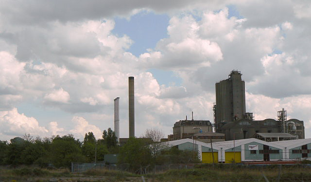
Bus stops
- bus lines 180, 229, 401, 469, 601, 602, 669
Roads nearby
Mitchell CloseDIY stores nearby
B&QIndustrial areas nearby
OYO Business UnitsParks nearby
Franks ParkRailway lines nearby
North Kent Line - Woolwich BranchRailway stations nearby
Belvedere Railway StationSchools nearby
Belvedere Infant SchoolSupermarkets nearby
AsdaWarehouses nearby
Ocado Customer Fulfillment Centre| Railway | |
| Bus | |
| Tram |
| Cycle path | |
| Cycle lane on road | |
| Cycling on bus lane | |
| Bicycle street | |
| Cyclists allowed | |
| Cyclists allowed, good surface | |
| No cycling | |
| Cobblestones |
| Long-distance cycle route | (depending on scale) | |
| Long-distance cycle route |
| Path |
| Long-distance hiking trail | (depending on scale) | |
| Long-distance hiking trail | ||
| No pedestrians |