
Stanmore Road in London Borough of Bexley
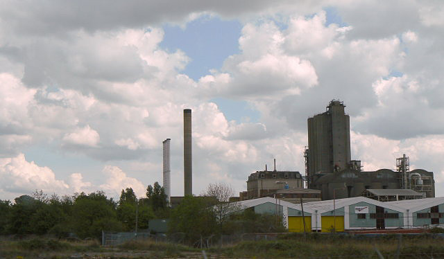
Stanmore Road in London Borough of Bexley is a residential street and it runs in a north-south direction starting from Battle Road and ends at Parkside Road. Stanmore Road also exists in London Borough of Waltham Forest and London Borough of Richmond upon Thames.
- Road Type
- residential street
- Route
- north-south
Image
Post offices
Places of worship
Bus stops
Tourist information offices
Pubs
Roads nearby
Gordon Road100 m
Ashburnham Road150 m
Glendale Road150 m
Battle Road200 m
Willis Road200 m
Lower RoadHalfway House, Halt Robin Lane, Mayfield Road, Poplar Mount, Lower Road Post Office, Lower Road / Church Manorway, Lower Road / Belvedere Station, Belvedere Station
200 m
Mayfield Road250 m
Valley RoadErith Working Mens Club
250 m
Bronze Age WayErith
250 m
Church ManorwayChurch Manorway / Viking Way, Church Manorway / War Memorial
300 m
Bullbanks Road300 m
Morris Drive300 m
Hillside300 m
Bramble Croft300 m
Parkside Road300 m
Park Gardens350 m
Culling RoadGuru Nanak Durbar Sikh Temple
350 m
Viking Way350 m
Beltwood Road350 m
Tower Court350 m
Pembroke Close350 m
Pembroke Road350 m
Cables Close400 m
Tower Road400 m
Keats Road400 m
Methuen Road450 m
Poplar Mount450 m
Sandcliff Road450 m
Mitchell Close450 m
Lowry Close450 m
Corinthian Road450 m
Corinthian ManorwayMillennium Milepost Erith, Green Chain
500 m
West StreetErith High Street, Winifred Road / The Ship, Erith Dry Cleaners, Maxim Road / The Ship, St Francis Road
500 m
Jessett Close500 m
Galleon Close550 m
Crabtree Manorway South650 m
Capital Industrial Estate650 m
Crabtree Manorway NorthMillennium Milepost Belvedere
700 m
Apartment buildings nearby
Tower Hill Court350 m
Buildings nearby
Landor Cartons450 m
Commercial areas nearby
Gyproc Business Park350 m
Commercial buildings nearby
Stanmore House300 m
Tesco Erith Dotcom Centre750 m
Places of worship nearby
St. John the Baptist400 m
Railway lines nearby
North Kent Line - Woolwich Branch400 m
Schools nearby
Belvedere Infant School500 m
Warehouses nearby
Ocado General Merchandise Distribution Centre500 m
Edible oils550 m
Ocado Customer Fulfillment Centre550 m
Public transport map London Borough of Bexley Legend
| Railway | |
| Bus | |
| Tram |
Cycling map London Borough of Bexley Legend
| Cycle path | |
| Cycle lane on road | |
| Cycling on bus lane | |
| Bicycle street | |
| Cyclists allowed | |
| Cyclists allowed, good surface | |
| No cycling | |
| Cobblestones |
| Long-distance cycle route | (depending on scale) | |
| Long-distance cycle route |
Walking map London Borough of Bexley Legend
| Path |
| Long-distance hiking trail | (depending on scale) | |
| Long-distance hiking trail | ||
| No pedestrians |