
Mitchell Close in London Borough of Bexley
Mitchell Close in London Borough of Bexley is a lit residential street and it runs in a north-south direction and ends at Lower Road, while the other end is a cul-de-sac. This road is part of 1 bicycle route. Mitchell Close also exists in Royal Borough of Greenwich.
- Road Type
- residential street
- Route
- north-south
Image
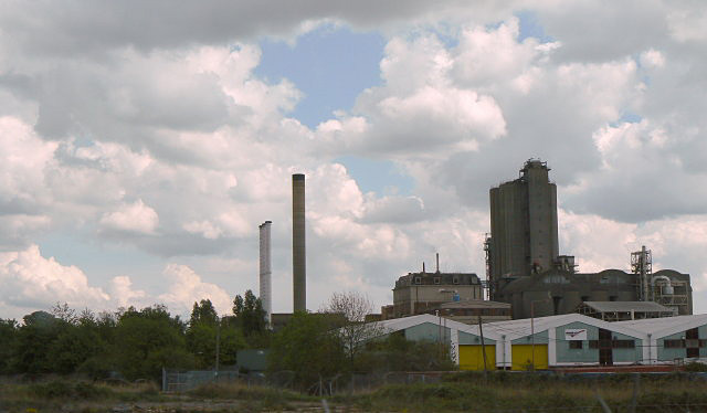
Fast food restaurants
Post offices
Stations
Charity shops
Bus stops
Cafés
Convenience stores
Tourist information offices
Places of worship
Pubs
Platforms
Hairdressers
Roads nearby
Lower RoadHalfway House, Halt Robin Lane, Mayfield Road, Poplar Mount, Lower Road Post Office, Lower Road / Church Manorway, Lower Road / Belvedere Station, Belvedere Station
50 m
Beltwood Road150 m
Culling RoadGuru Nanak Durbar Sikh Temple
150 m
Methuen Road150 m
Poplar Mount150 m
Bullbanks Road200 m
Halt Robin Lane200 m
Keats Road200 m
Station Road NorthBelvedere
250 m
Mayfield Road250 m
Parkside Road250 m
Picardy ManorwayEastern Way / Norman Road, Picardy Manorway / Eastern Way, Picardy Manorway / Belvedere Station, Asda Café
300 m
Battle Road300 m
Ashburnham Road300 m
Bronze Age WayErith
350 m
Cables Close350 m
Woodside School350 m
Capital Industrial Estate350 m
Gordon Road400 m
Halt Robin Road400 m
Caldy Road400 m
Crabtree Manorway South400 m
Gladeswood Road450 m
Stanmore Road450 m
Thornton Road500 m
Crabtree Manorway NorthMillennium Milepost Belvedere
500 m
Regent Square500 m
Brigstock Road500 m
Gideon Close500 m
Glendale Road550 m
Lower Park Road550 m
Poppy Close550 m
Station RoadBelvedere, Bexleyheath, Royston Road, Station Road / Chastilian Road, Crescent Road, Station Road / Crescent Road, Papa John's, Tution Centre, Gel's barber Shop, New Star, Chicken Pizza Hot Service, Varsani Wine & Food, Station Road Pharmecy, Automatica, Old Farm Avenue, Domino's, Express Inn Dry Cleaners, Station Road Post Office, Gingers, Metropolitan Police Museum, Crayford Station, Lamorbey, Sidcup Station / Station Road, Sidcup Station, Invicta Model Rail, Melk Coffee, M&S Simply Food
550 m
Norman Road600 m
Tower Road600 m
Trinity School600 m
Upper Park RoadGreen Chain Walk, Upper Park Rd Freemantle Rd
600 m
Elmbourne Drive600 m
Baltimore Close600 m
North Road600 m
DIY stores nearby
B&Q500 m
Industrial areas nearby
OYO Business Units550 m
Parks nearby
Franks Park400 m
Railway lines nearby
North Kent Line - Woolwich Branch250 m
Railway stations nearby
Belvedere Railway Station550 m
Schools nearby
Belvedere Infant School50 m
Belvedere Junior School150 m
Supermarkets nearby
Asda300 m
Warehouses nearby
Ocado Customer Fulfillment Centre550 m
Public transport map London Borough of Bexley Legend
| Railway | |
| Bus | |
| Tram |
Cycling map London Borough of Bexley Legend
| Cycle path | |
| Cycle lane on road | |
| Cycling on bus lane | |
| Bicycle street | |
| Cyclists allowed | |
| Cyclists allowed, good surface | |
| No cycling | |
| Cobblestones |
| Long-distance cycle route | (depending on scale) | |
| Long-distance cycle route |
Walking map London Borough of Bexley Legend
| Path |
| Long-distance hiking trail | (depending on scale) | |
| Long-distance hiking trail | ||
| No pedestrians |