
North Hyde Road in London Borough of Hillingdon
North Hyde Road in London Borough of Hillingdon is a lit main road (road number A437). The road consists of sections with two separate carriageways. It runs in a east direction and crosses Station Road, Albert Road, Dawley Road, Millington Road, Old Station Road, Northfield Park, Fairey Avenue, Hyde Way, Dallas Terrace, Newhaven Close, Harold Avenue and Crane Gardens. In the vicinity, you can find among other things a petrol station, a restaurant and a convenience store. The nearest stops are Harold Avenue, Old Station Road and Roseville Road. The bus lines 195, E6 and U5 serve this stop.
- Road Type
- main road
- Speed Limit
- 30 mph
- Route
- east-west
Image
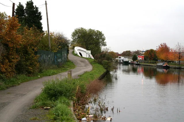
Roads nearby
North Hyde Gardens50 m
Watersplash Lane100 m
Roseville RoadHail & Ride Coronation Road, North Hyde Road, Hail & Ride Roseville Road
150 m
Sutherland Avenue150 m
Blair Close200 m
The Parkway250 m
Gordon Crescent300 m
Wyre Grove300 m
Westlands Close300 m
Laburnum Road350 m
Carnation GardenMaking Time, Family Tanks
350 m
Coronation RoadHail & Ride Coronation Road
400 m
Cranford Park Road450 m
Bulls Bridge RoadBulls Bridge
450 m
Hayes RoadHayes Road / Tesco, Subway, Tesco Customer Toilets, Bulls Bridge Tesco
450 m
Harold Avenue450 m
Farine Avenue450 m
Christopher Road500 m
Newhaven Close500 m
Dallas Terrace550 m
Nestle's AvenueAccess Self Storage
550 m
Cranton Avenue600 m
Silverdale Road700 m
Pump LanePoundstretcher
750 m
Apartment buildings nearby
Truscon House500 m
Maya House500 m
Forastero House500 m
Rasina Court600 m
Catimor House600 m
Canals nearby
Grand Union Canal400 m
Grand Union Canal (Paddington Branch)400 m
Car dealerships nearby
Volvo Truck and Bus450 m
Commercial areas nearby
Segro Park Hayes350 m
Convenience stores nearby
Londis400 m
Door shops nearby
Altus Shop Fronts & Shutter Repairs450 m
Industrial areas nearby
FM Conway500 m
Tarmac Hayes600 m
Industrial buildings nearby
Argent Trade Park700 m
Parks nearby
Cranford Country Park300 m
Platforms nearby
3650 m
2650 m
5700 m
Railway lines nearby
Great Western Main Line600 m
Elizabeth Line700 m
Residential areas nearby
Hayes Village600 m
Rivers nearby
River Crane350 m
Streams nearby
Yeading Brook450 m
Supermarkets nearby
Tesco Extra400 m
Other nearby
North Hyde Substation50 m
Public transport map London Borough of Hillingdon Legend
| Railway | |
| Bus | |
| Tram |
Cycling map London Borough of Hillingdon Legend
| Cycle path | |
| Cycle lane on road | |
| Cycling on bus lane | |
| Bicycle street | |
| Cyclists allowed | |
| Cyclists allowed, good surface | |
| No cycling | |
| Cobblestones |
| Long-distance cycle route | (depending on scale) | |
| Long-distance cycle route |
Walking map London Borough of Hillingdon Legend
| Path |
| Long-distance hiking trail | (depending on scale) | |
| Long-distance hiking trail | ||
| No pedestrians |