
Walnut Avenue in London Borough of Hillingdon
Walnut Avenue in London Borough of Hillingdon is a residential street. It runs in an east-west direction starting from South Road and crosses Oak Avenue and Hazel Avenue and ends at Smaldon Close. Walnut Avenue also exists in Greater Manchester, West Yorkshire and Lancashire.
- Road Type
- residential street
- Route
- east-west
Image
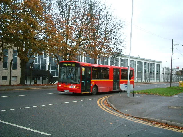
Fast food restaurants
Restaurants
Bus stops
Places of worship
Pharmacy
Convenience stores
Hairdressers
Car hires
Roads nearby
Hazel Avenue50 m
Smaldon Close50 m
Oak Avenue100 m
Firtree AvenueBell Farm Church
200 m
South Road200 m
Almond Avenue200 m
South Close250 m
Mulberry ParadeMulberry Parade, NHS Pharmacy
300 m
Beech Close300 m
Thornton Close300 m
Mullberry CrescentMulberry Parade
300 m
Blackthorn Avenue300 m
West Road350 m
Spring PromenadeSainsbury's Local
350 m
Myrtle Close400 m
Thornton Avenue400 m
Chapman Close400 m
Evergreen Drive400 m
Lavender RiseLavender Rise / Stockley Road
450 m
Porters WayKings Road, North Road, Queens Road
450 m
Bourne AvenueGuinness Close, The Music Box, Conway Drive, Bourne news Box, Strawberry Local, Sun Sun, Skipton Drive
450 m
Stockley Farm Road450 m
East Road500 m
Stockley RoadStockley Road
500 m
Briar WayStockley
500 m
Jasmine Terrace500 m
Cherry LaneCherry Lane School
550 m
Bell Avenue550 m
Holloway LaneHarmondsworth, Harmondsworth Lane, Shell West Drayton
600 m
Cherry Lane Roundabout600 m
Blossom Way600 m
Shepiston LaneCherry Lane Cemetery, Greggs, Subway, Sbarro, Dawley Road, Sam Philip Recreation Ground
600 m
Stockley Close650 m
Vine Close650 m
Coleridge Waycom.cafe
700 m
Keats Way700 m
Heathrow Airport Spur RoadHeathrow, Concorde Roundabout, Tesla Supercharger Heathrow
800 m
Buildings nearby
CyrusOne LON2700 m
Allotment gardens nearby
West Drayton Depot allotments450 m
Body of waters nearby
Stockley Road Lake500 m
Buildings nearby
Stockley Farmhouse450 m
Commercial areas nearby
Stockley Farm450 m
Heathrow Coach Centre850 m
Derelict canals nearby
Starveall Dock550 m
Hotels nearby
Premier Inn900 m
Railway lines nearby
Heathrow Link Line900 m
Recreation grounds nearby
Stockley Recreation Ground250 m
Residential areas nearby
Stockley Est.300 m
Drayton Garden Village350 m
 Public transport map London Borough of Hillingdon Legend
| Railway | |
| Bus | |
| Tram |
 Cycling map London Borough of Hillingdon Legend
| Cycle path | |
| Cycle lane on road | |
| Cycling on bus lane | |
| Bicycle street | |
| Cyclists allowed | |
| Cyclists allowed, good surface | |
| No cycling | |
| Cobblestones |
| Long-distance cycle route | (depending on scale) | |
| Long-distance cycle route |
 Walking map London Borough of Hillingdon Legend
| Path |
| Long-distance hiking trail | (depending on scale) | |
| Long-distance hiking trail | ||
| No pedestrians |