
Veterans Memorial Drive in Texarkana, Texas
Veterans Memorial Drive in Texarkana is an asphalted residential street. It runs in a southeast-northwest direction starting from Wood Street and crosses West 7th Street. It ends in a cul-de-sac. Veterans Memorial Drive also exists in Harris County, Aransas County, Fayette County and Grimes County.
- Road Type
- residential street
- Route
- southeast-northwest
Image
Cafes
Artworks
Bike shops
Platforms
Schools
Places of worship
Bus stops
Streets nearby
West 6th Street200 ft
West 7th StreetSubway, W 7th St/US-67 & E Loop Dr/I-369/US-59, W 7th St/US-67 & S Robison Rd, W 7th St/US-67 & Talbert St, W 7th St/US-67 & Wake Village Rd
250 ft
East 7th Street400 ft
East 5th Street0.1 mi
North State Line AvenueTexarkana, Welcome to Texarkana
0.1 mi
Olive Street0.1 mi
East Martin Luther King Junior Boulevard0.1 mi
West Martin Luther King Junior Boulevard0.1 mi
Hazel Street0.2 mi
Wood StreetCrossties
0.2 mi
Walnut StreetJames Bowie Statue, Church of God International, Mt. Sinai Congregation Temple
0.2 mi
Laurel StreetOrr School, First United Methodist Church
0.2 mi
East 4th StreetE 4th St & Hazel St, E 4th St & Wood St
0.2 mi
West 10th Street0.3 mi
Ash Street0.3 mi
East 9th StreetMcDonald's
0.3 mi
Auto parts stores nearby
NAPA Auto Parts0.2 mi
Auto repair shops nearby
Firestone100 ft
Banks nearby
Commercial National Bank0.2 mi
Bars nearby
El Frio Express0.2 mi
Buildings nearby
Trammell Piazza Law Firm0.1 mi
Texarkana Water Utilities0.1 mi
Keil Law Firm PLLC0.2 mi
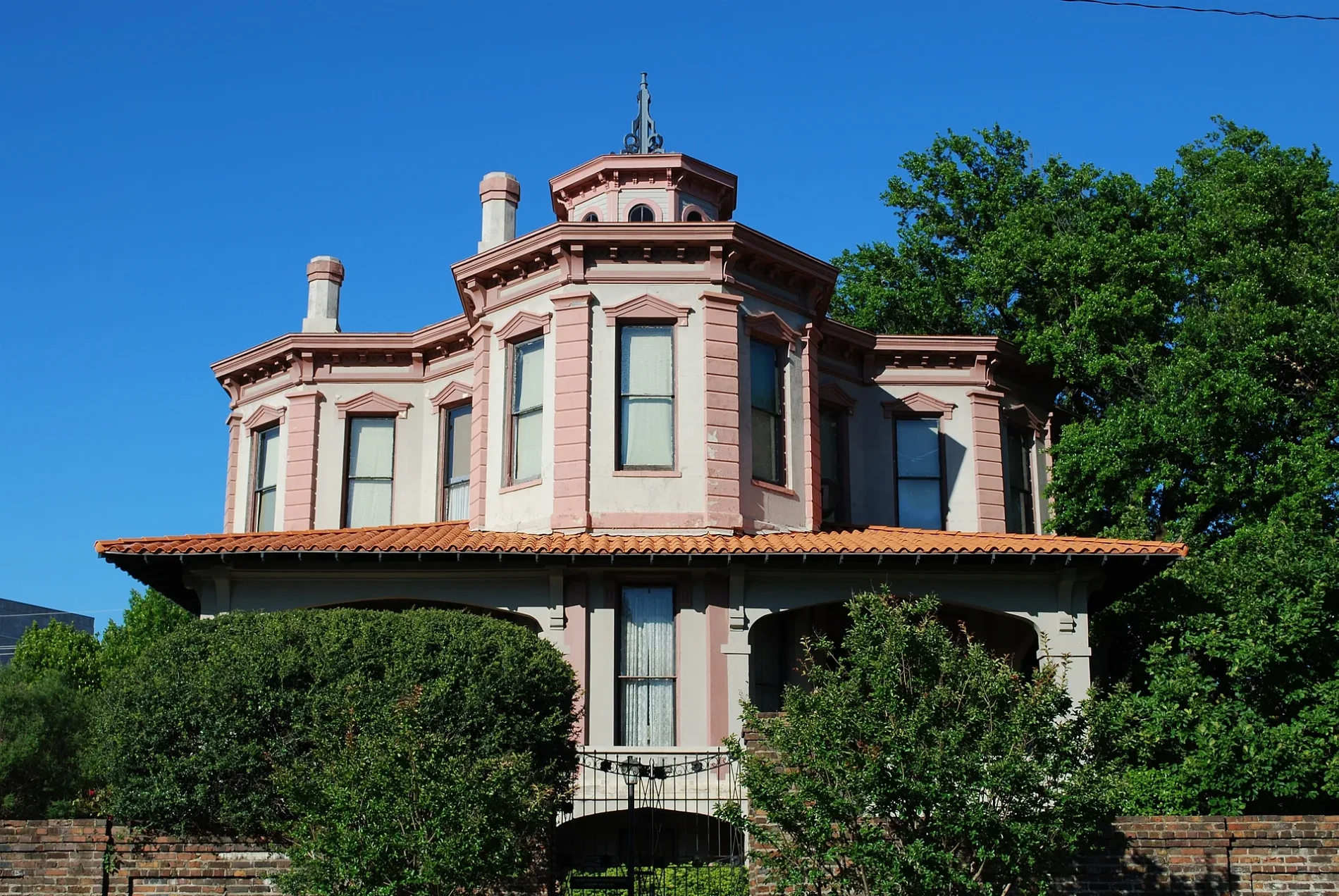
Draughn-Moore House0.2 mi
Texarkana Chamber of Commerce0.2 mi
Cook Law Office PC0.3 mi
Car dealerships nearby
Plyler Auto Sales500 ft
Commercial buildings nearby
Texarkana Water Utilities GIS / IT0.2 mi
Community centers nearby
The Salvation Army Herbert B Wren Fellowship Hall0.2 mi
Fast food restaurants nearby
Domino's0.1 mi
Burger King0.2 mi
Funeral homes nearby
Jones Funeral Home0.3 mi
Liquor stores nearby
Rock House Liquor Store0.1 mi
Motels nearby
Shamrock Motel550 ft
Motorcycle shops nearby
McVay's Big Boy Toyz300 ft
Cycle Zone of Texarkana400 ft
Museums nearby
Ace of Clubs House Museum0.2 mi
P. J. Ahern Home0.2 mi
Parks nearby
Sheppard Park0.1 mi
Places of worship nearby
Church of Christ on Pine Street0.1 mi
Saint James Episcopal Church0.1 mi
Transformation Center International0.4 mi
Post offices nearby
United States Post Office300 ft
Restaurants nearby
Joe's Italian Bistro0.1 mi
Los Tacos0.1 mi
Social facilities nearby
The Salvation Army Red Shield Youth Center of Texarkana0.2 mi
Studios nearby
KLFI-TV0.2 mi
Tire dealers nearby
M & M Tire & Auto Center0.1 mi
Other nearby
Saint Michael Hospital Heliport400 ft
Public transit map Texarkana Legend
| Railway | |
| Bus | |
| Streetcar |
Bicycle map Texarkana Legend
| Bike path | |
| Bike lane on roadway | |
| Cycling allowed on bus lane | |
| Bicycle street | |
| Open to cyclists | |
| Open to cyclists, good path | |
| Cycling prohibited | |
| Cobblestone |
| Long-distance bike route | (depending on scale) | |
| Long-distance bike route |
Pedestrian map Texarkana Legend
| Path |
| Long-distance hiking trail | (depending on scale) | |
| Long-distance hiking trail | ||
| Pedestrians prohibited |